Urdvassnuten
The most famous ski touring peek around Geilo, with potential lines for every level of experience
Ski Touring Difficult
- Distance
- 4.3 km
- Ascent
- 798 m
- Descent
- 79 m
- Duration
- 3-4 hrs
- Low Point
- 1 km
- High Point
- 1.7 km
- Gradient
- 40˚

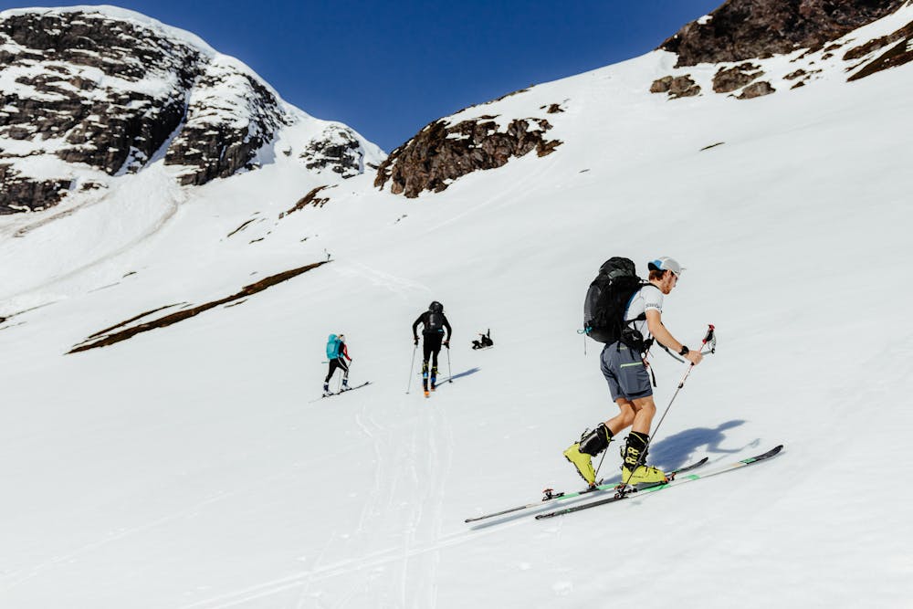
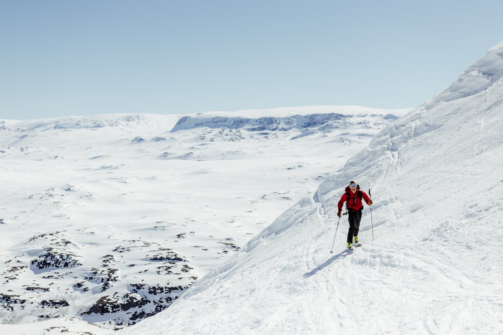
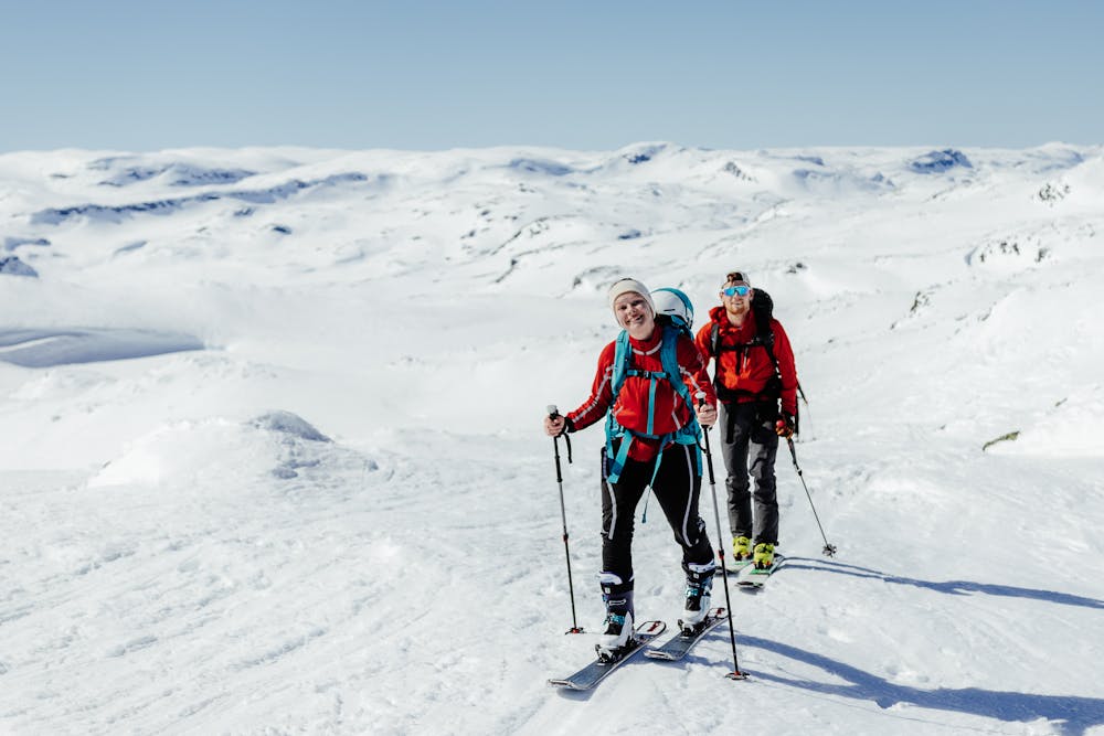
Urevassnuten is a good starting point for short and easily accessible ski touring trips.
- •
- •
- •
- •
- •
- •
- •
- •
- •
Description
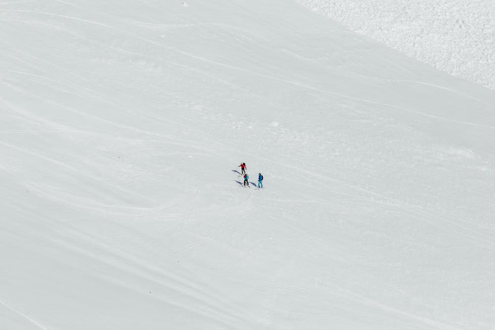
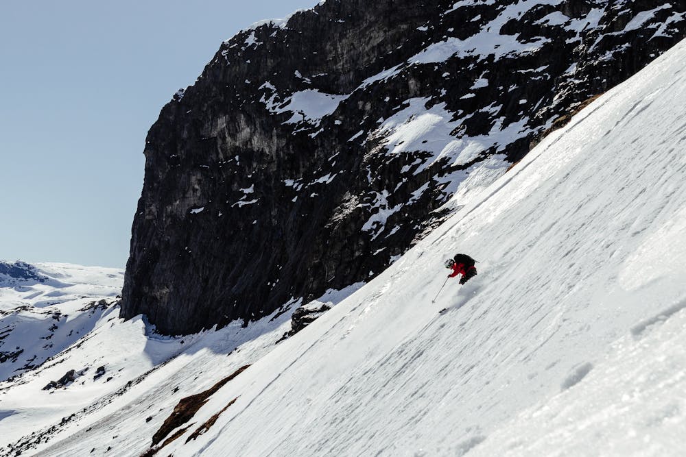
The ascent begins immediately and it's best to go up so that you reach the western end of Hestebotn. Then, hold course north towards Jutulvatnet lake, and go eastwards towards the characteristic Urdvassnuten at 1753 m.a.s.l. Here, you have an amazing view!
Things to consider;
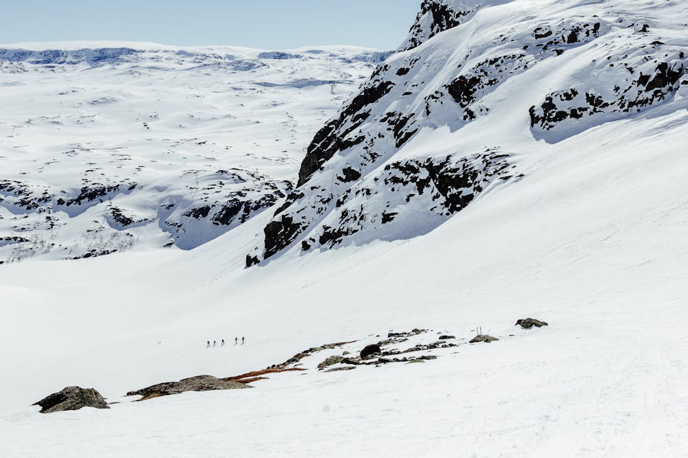
- Big avalanches can occur in the spring from the top of Urdvassberget and potentially go all the way down to the road. In spring it can therefore be advisable to start the tour more to the east, and take a longer traverse to Hestebotn than you usually would do (as the GPX file shows).
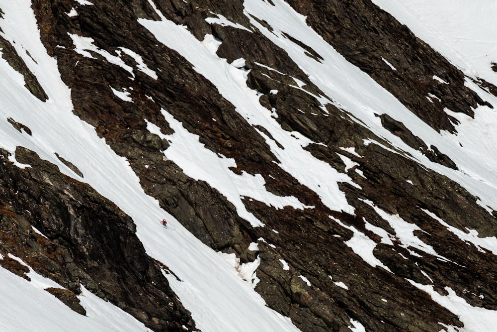
- There are potentially many options for a descend from Urdvassnuten. Use your time at Hestebotn to consider avalanche conditions and take a snap shot of your potential line. Everyone find a line that suit their experiences and needs.
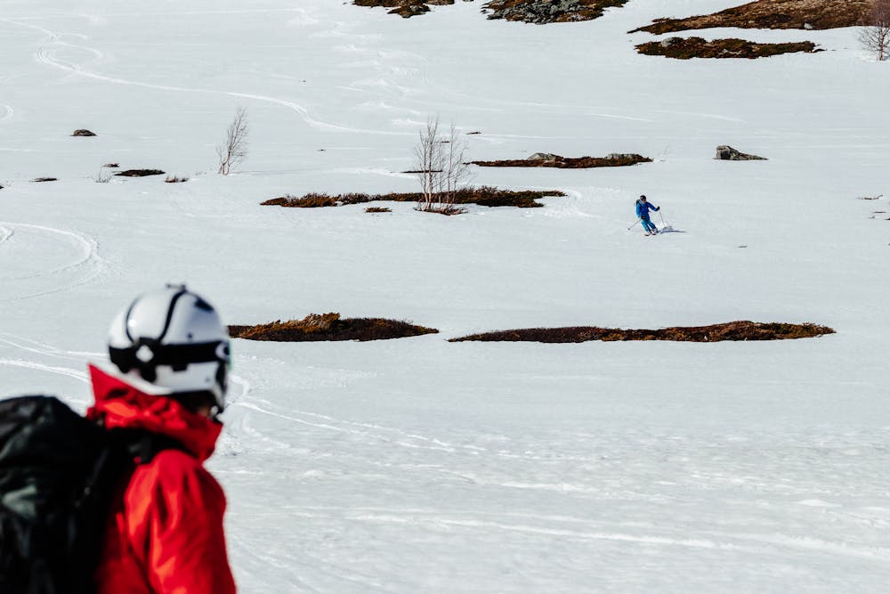
Normal descend follows the same route as ascended.
If the part from Hestebotn and up is too steep or the conditions is not your cup of tea, it's also nice to go westward to the highest peak in Urdvassberget at 1617 m.a.s.l.
Difficulty
Difficult
Serious gradient of 30-38 degrees where a real risk of slipping exists.
Low Exposure (E1)

Exposure is limited to that of the slope itself. Getting hurt is still likely if the slope is steep and/or the snow is hard.
Remoteness

Little chance of being seen or helped in case of an accident.
Best time to visit
Features
- Bowl
- Face
- Alpine
- Couloir
- Ski Mountaineering
Equipment required
- Skins
- Crampons