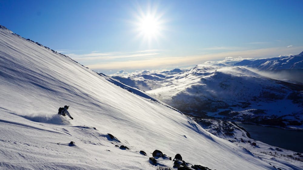
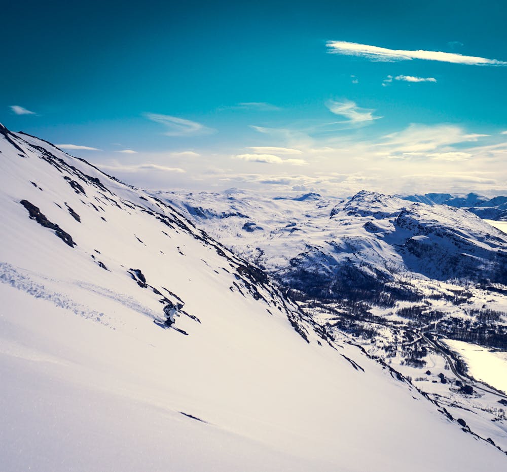
Stortinden, main route
Good mellow skiing with good views from the top
Ski Touring Moderate
- Distance
- 3.8 km
- Ascent
- 486 m
- Descent
- 487 m
- Duration
- 2-3 hrs
- Low Point
- 11 m
- High Point
- 498 m
- Gradient
- 34˚

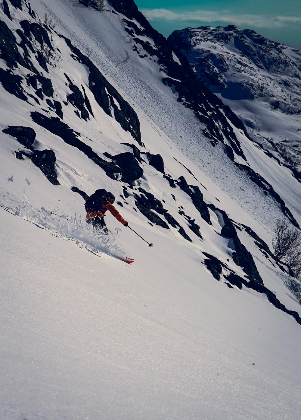
A good 500 meters of vert with no approach. The lower half is just mellow cruising between the scattered trees, while the upper part is a little steeper small face at aroung 30-35 degrees. Going skiers right at the top gives a more gentle slope, while going left you can get up to 40 degrees.
- •
- •
- •
Difficulty
Moderate
Slopes become slightly steeper at around 25-30 degrees.
Medium Exposure (E2)

As well as the slope itself, there are some obstacles (such as rock outcrops) which could aggravate injury.
Remoteness
Away from help but easily accessed.
Best time to visit
Features
- Face
- Single Descent
Equipment required
- Skins