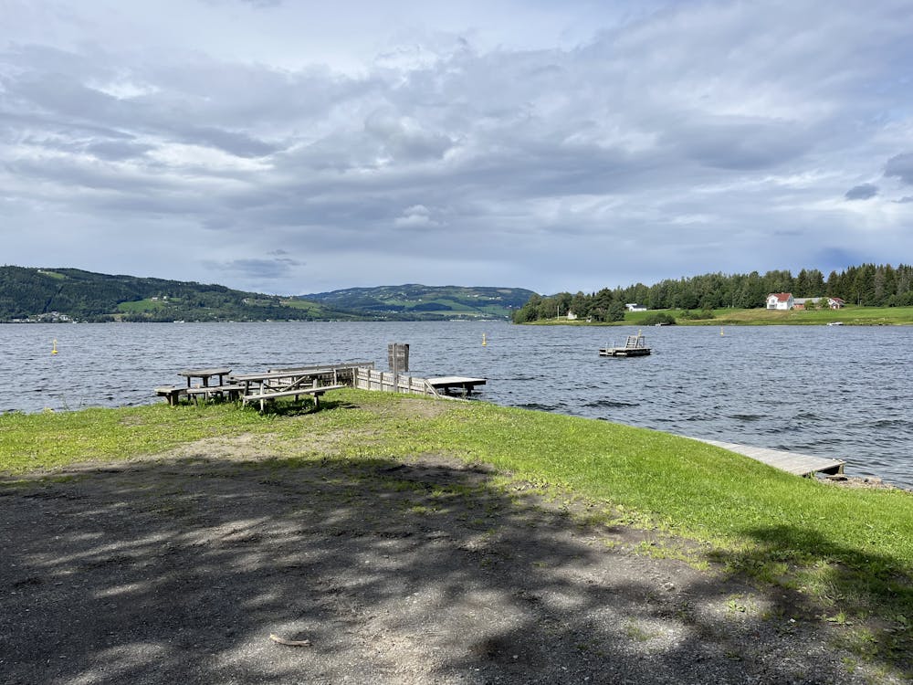
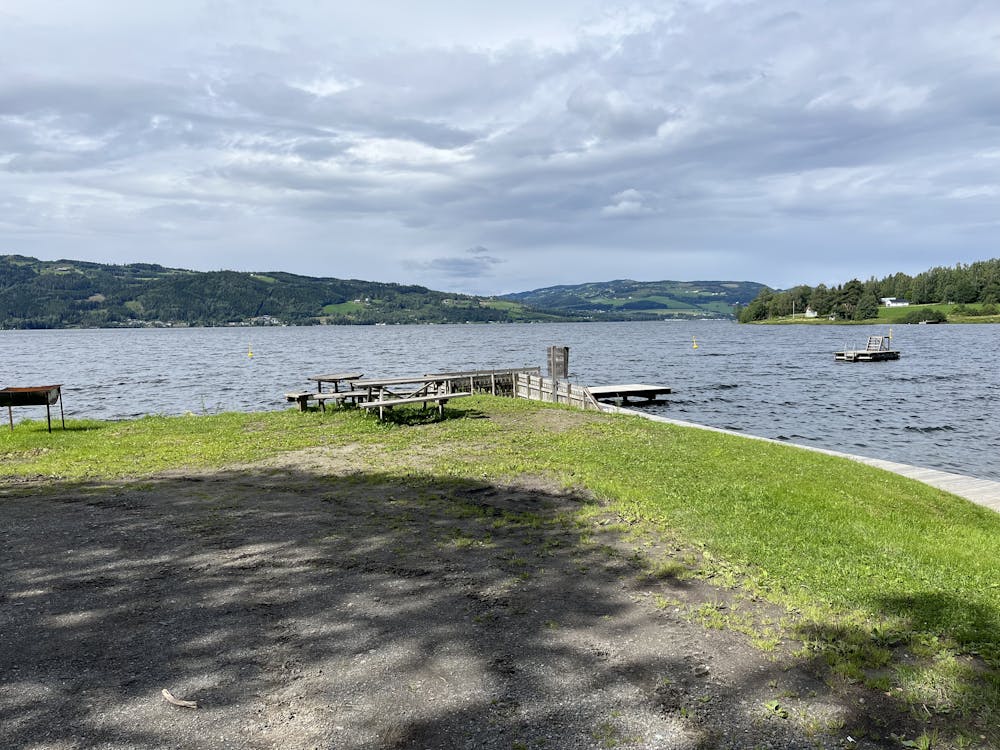
Saugstadvika
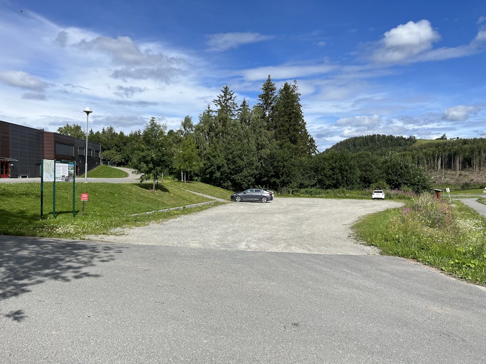
Ti turer i Ringsaker, Saugstadvika Gaupen. Start og stopp på Gaupen skole.
Hiking Easy
- Distance
- 4.8 km
- Ascent
- 128 m
- Descent
- 129 m
- Duration
- 1-2 hrs
- Low Point
- 125 m
- High Point
- 224 m
- Gradient
- 4˚

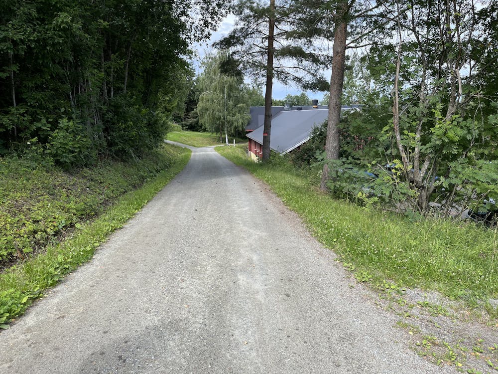
This is a popular hiking route which is generally considered to be easy. It's not remote, it features low exposure and is typically done between May and September. From a low point of 125 m to the maximum altitude of 224 m, the route covers 4.8 km, 128 vertical metres of ascent and 129 vertical metres of descent.
- •
- •
- •
- •
- •
- •
- •
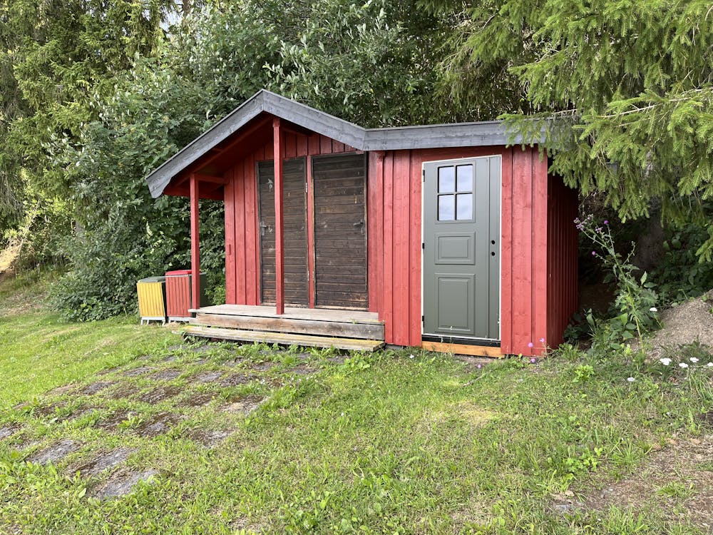
Description
Ti turer i Ringsaker, Saugstadvika Gaupen. Start og stopp på Gaupen skole.
Difficulty
Easy
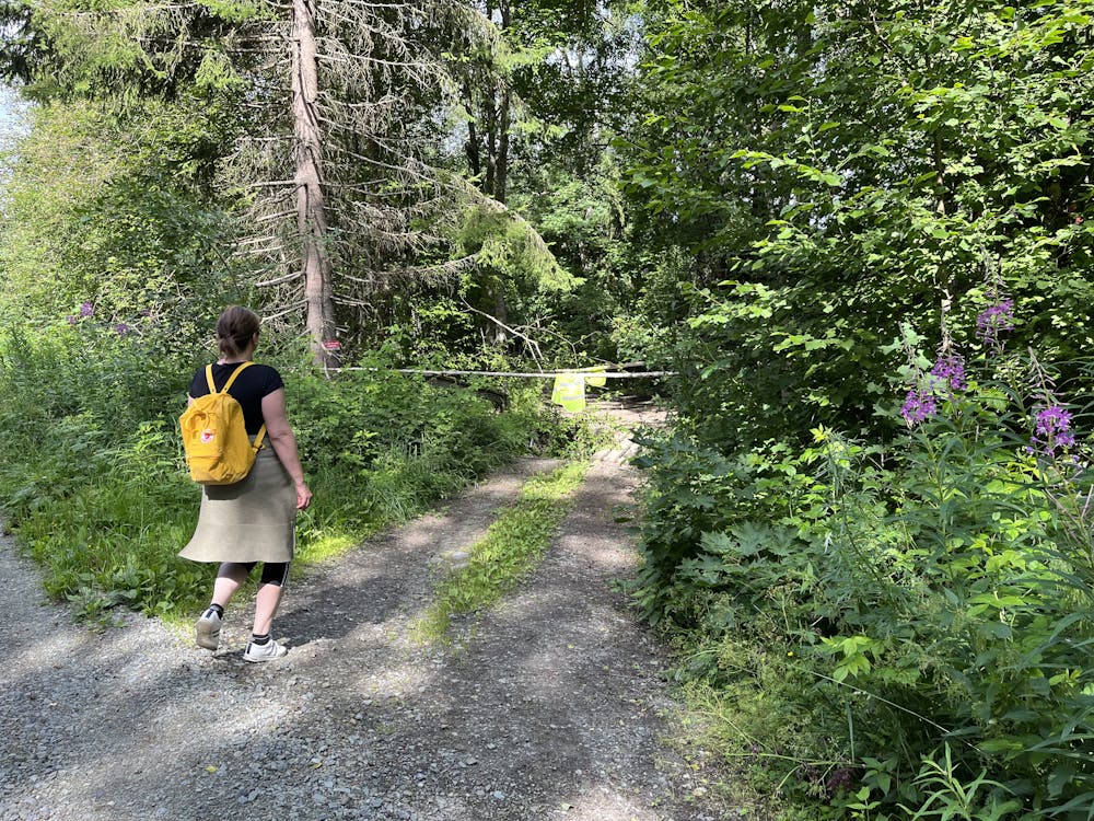
Walking along a well-kept trail that’s mostly flat. No obstacles are present.
Low Exposure

The path is on completely flat land and potential injury is limited to falling over.
Remoteness
Close to help in case of emergency.
Best time to visit
Features
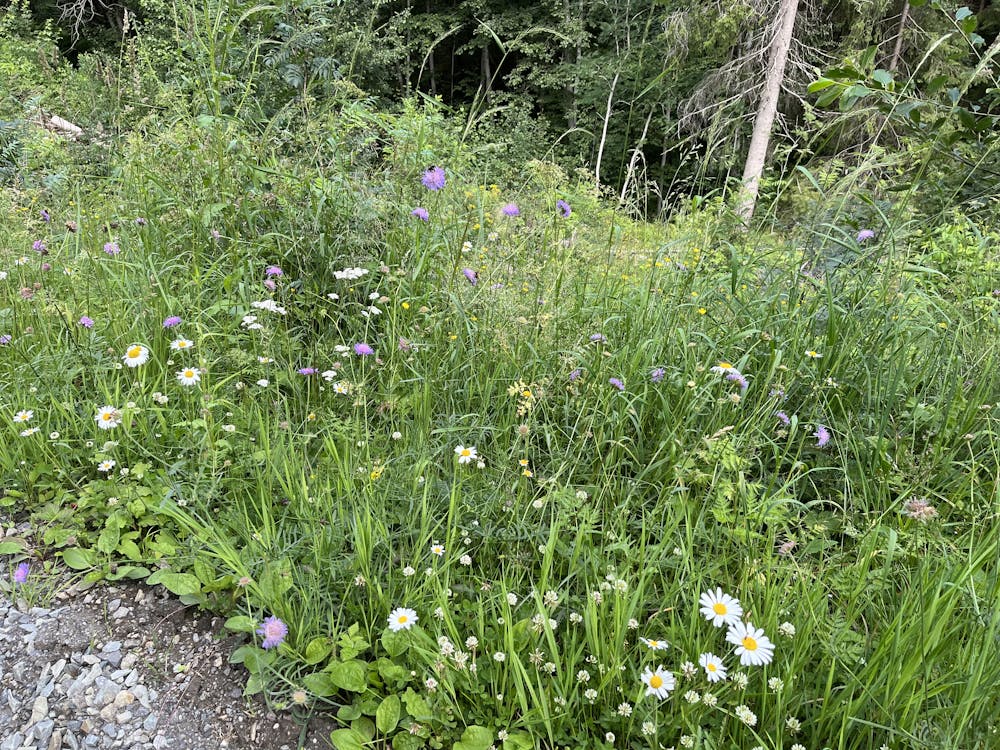
- Picturesque
- Wild flowers
- Family friendly