Sleukampen - Folldal
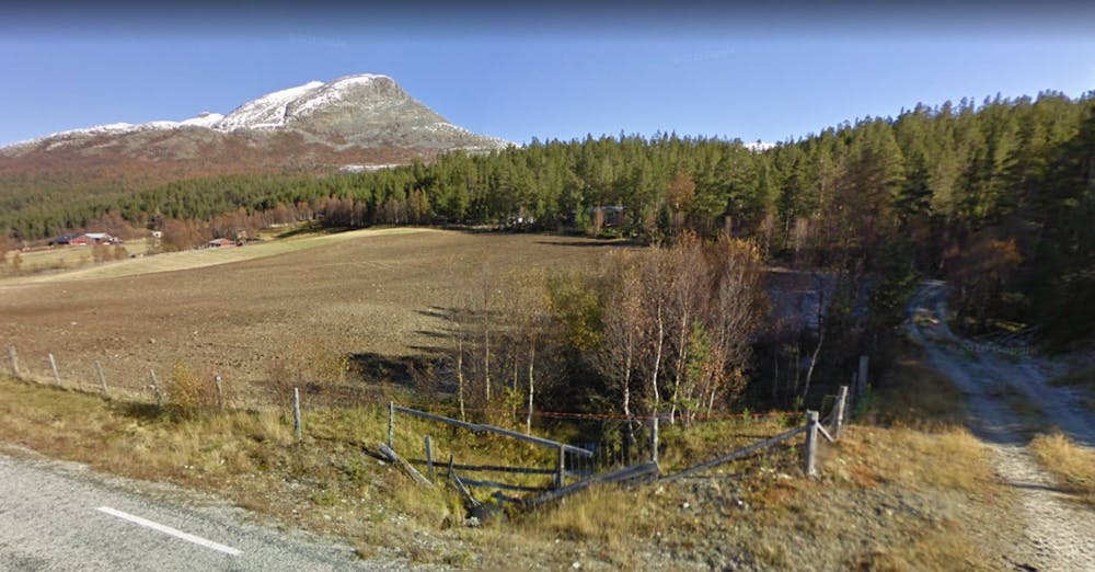
Sleukampen summit from Eriksrud
Hiking Moderate
- Distance
- 12 km
- Ascent
- 837 m
- Descent
- 838 m
- Duration
- 3-4 hrs
- Low Point
- 705 m
- High Point
- 1.4 km
- Gradient
- 13˚

This is a popular hiking route which is generally considered to be moderate. It's remote, it features medium exposure and is typically done between June and September. From a low point of 705 m to the maximum altitude of 1.4 km, the route covers 12 km, 837 vertical metres of ascent and 838 vertical metres of descent.
Description
Great view of the Rondane mountain range and the meandering Atna river. Easy terrain through the woods. Final km to summit is steep and unmarked. This is the route to the southern peak of Sleukampen.
Difficulty
Moderate
Hiking along trails with some uneven terrain and small hills. Small rocks and roots may be present.
Medium Exposure

The trail contains some obstacles such as outcroppings and rock which could cause injury.
Remoteness
Away from help but easily accessed.
Best time to visit
Features
- Picturesque
- Summit Hike