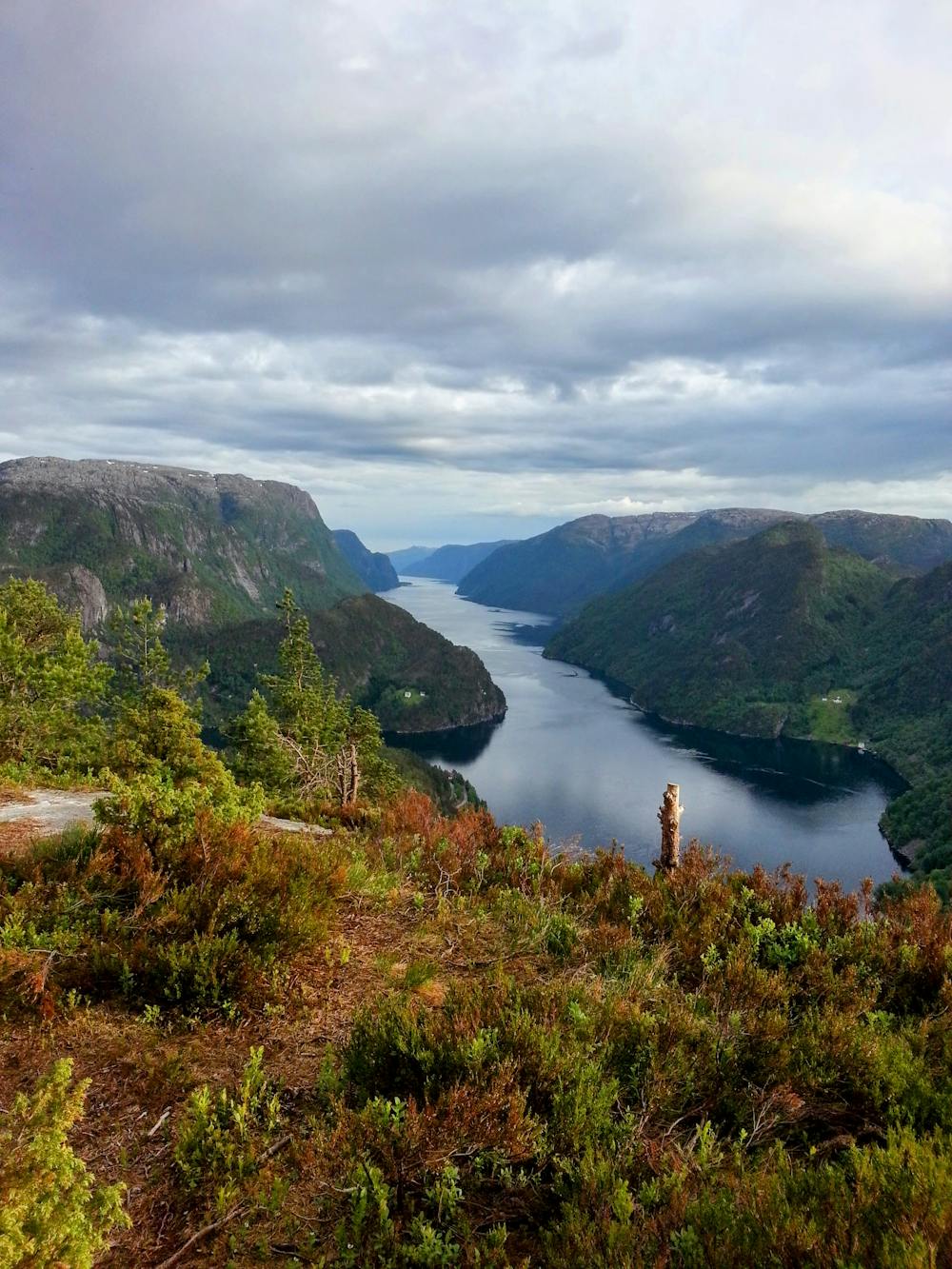
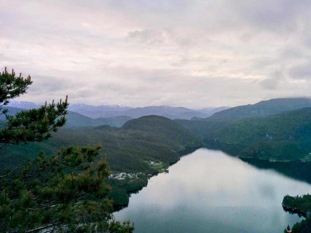
Middagshaugen frå Nedre Kalland
Nydeleg utsikt etter ein kort, men bratt tur.
Hiking Moderate
- Distance
- 1.3 km
- Ascent
- 270 m
- Descent
- 34 m
- Duration
- 0-1 hrs
- Low Point
- 24 m
- High Point
- 295 m
- Gradient
- 14˚

This is a popular hiking route which is generally considered to be moderate. It's not remote, it features medium exposure and is typically done all year round. From a low point of 24 m to the maximum altitude of 295 m, the route covers 1.3 km, 270 vertical metres of ascent and 34 vertical metres of descent.
Description
Ein kort, men bratt tur, med nydeleg utsikt på toppen. Kan vera glatt og vått når det har regna. Kan følge merker på trea.
Difficulty
Moderate
Hiking along trails with some uneven terrain and small hills. Small rocks and roots may be present.
Medium Exposure

The trail contains some obstacles such as outcroppings and rock which could cause injury.
Remoteness

Close to help in case of emergency.
Best time to visit
Features
- Picturesque
- Summit Hike
- Dog friendly
- Water features
- Family friendly
- Forestry or heavy vegetation