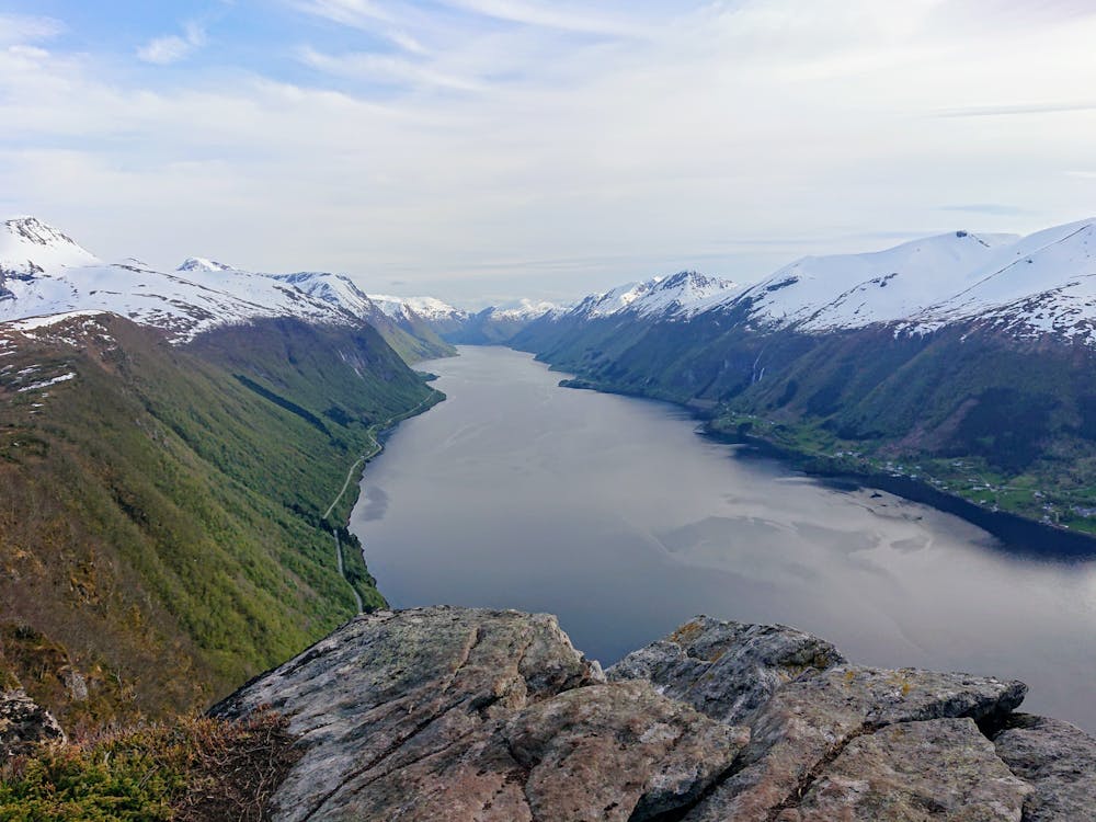
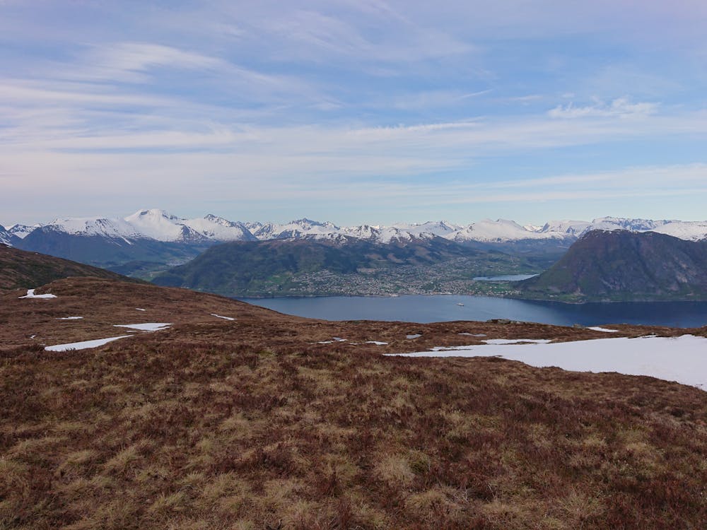
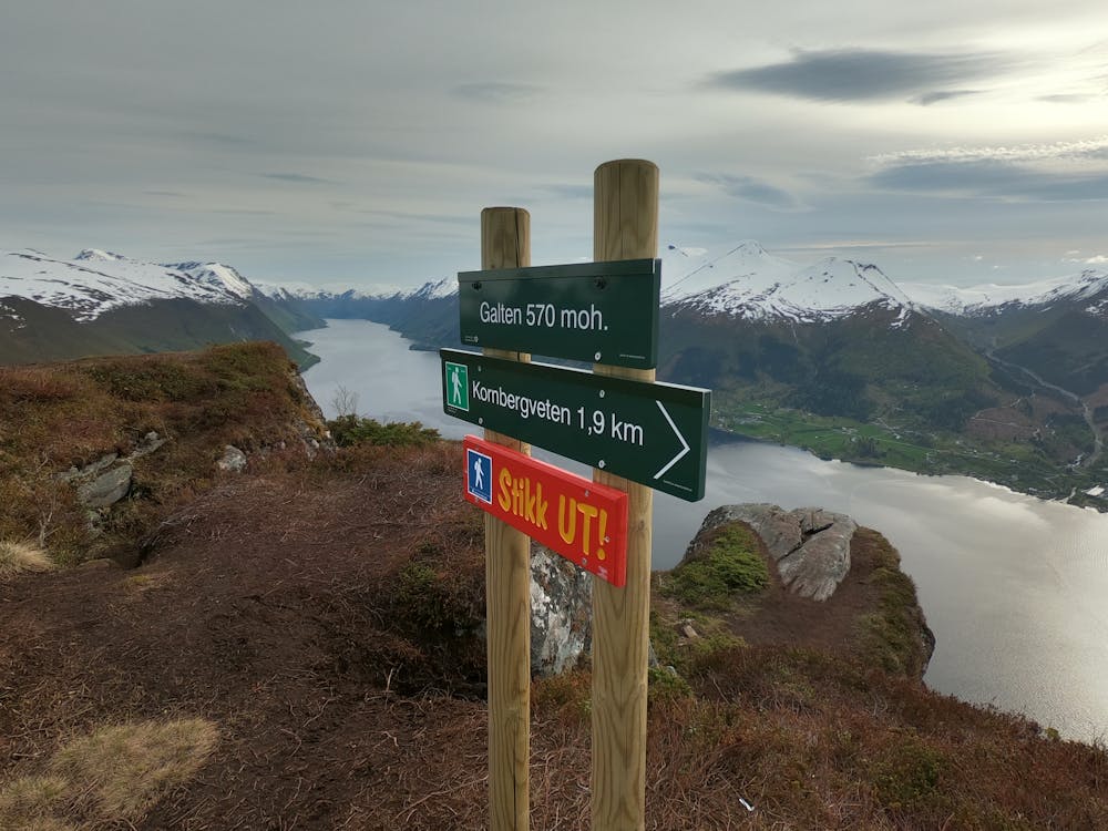
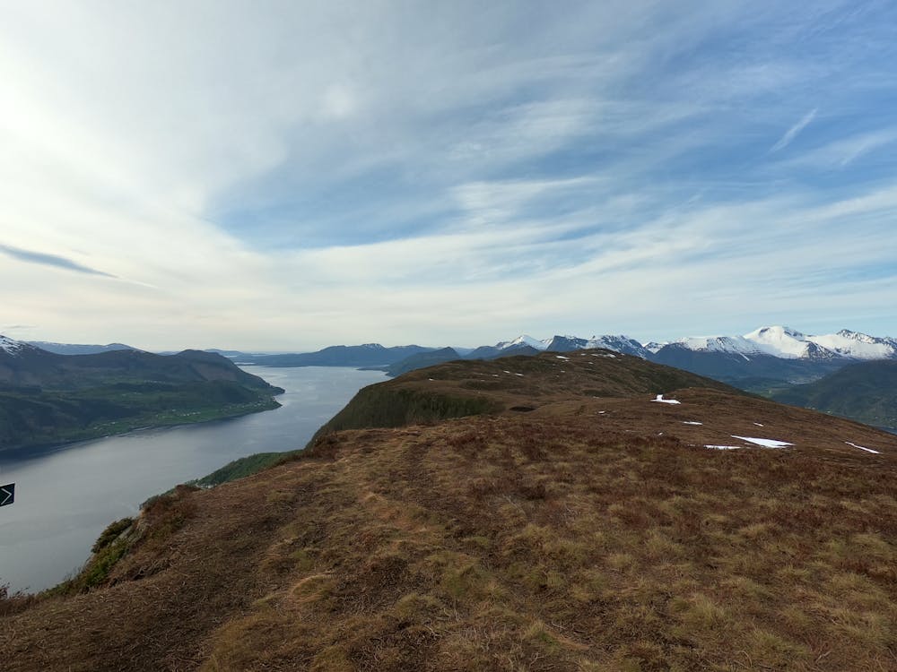
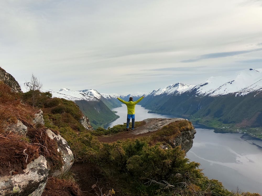
Galten viewpoint
Hike with amazing fjord view
Hiking Moderate
- Distance
- 4.1 km
- Ascent
- 285 m
- Descent
- 284 m
- Duration
- 1-2 hrs
- Low Point
- 263 m
- High Point
- 542 m
- Gradient
- 8˚

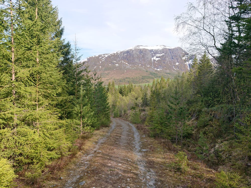
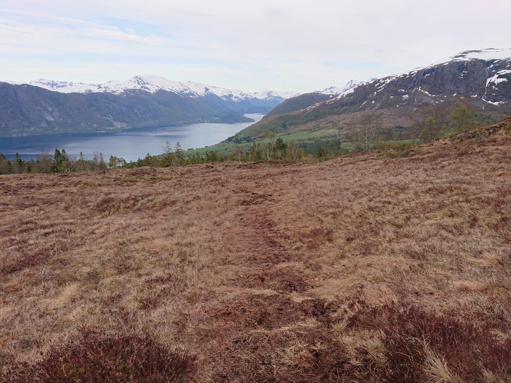
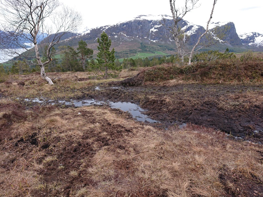
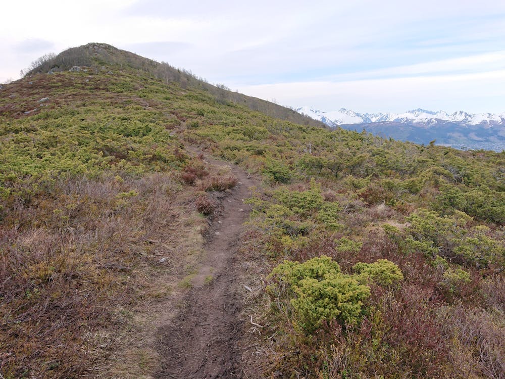
The hike starts form the parking at Blåfjellsvegen. The road is private and there is a small fee to drive on it (40 NOK in 2020). The hike in its self is very little strenuous. The first half of the hike follows a forest road, and the second half follows a path up the hill. Be aware that the path is very muddy, so waterproof hiking boots are recommended. Be careful when stepping onto the ledge, the hillside is very steep.
- •
- •
- •
- •
- •
- •
- •
- •
- •
Difficulty
Moderate
Hiking along trails with some uneven terrain and small hills. Small rocks and roots may be present.
Medium Exposure

The trail contains some obstacles such as outcroppings and rock which could cause injury.
Remoteness
Away from help but easily accessed.
Best time to visit
Features
- Picturesque
- Summit Hike
- Dog friendly
- Family friendly
- Forestry or heavy vegetation