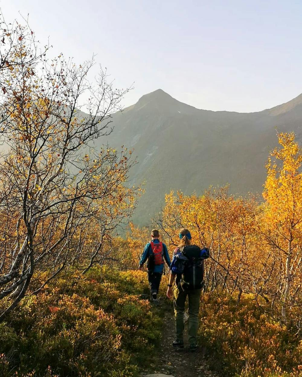
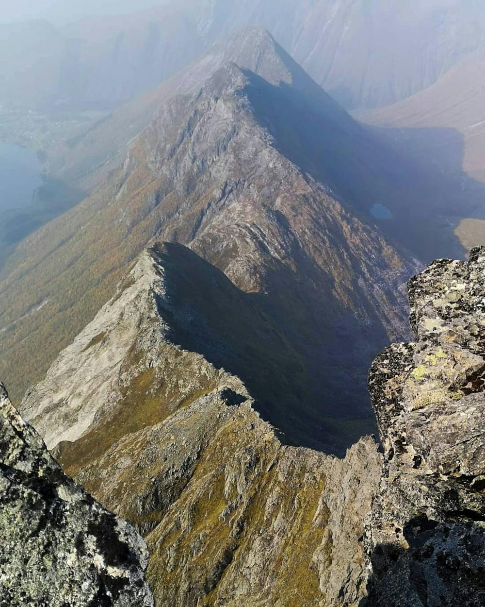
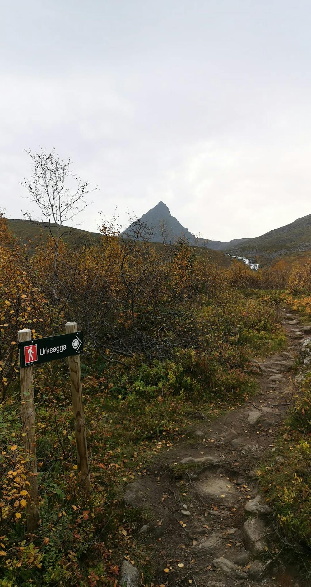
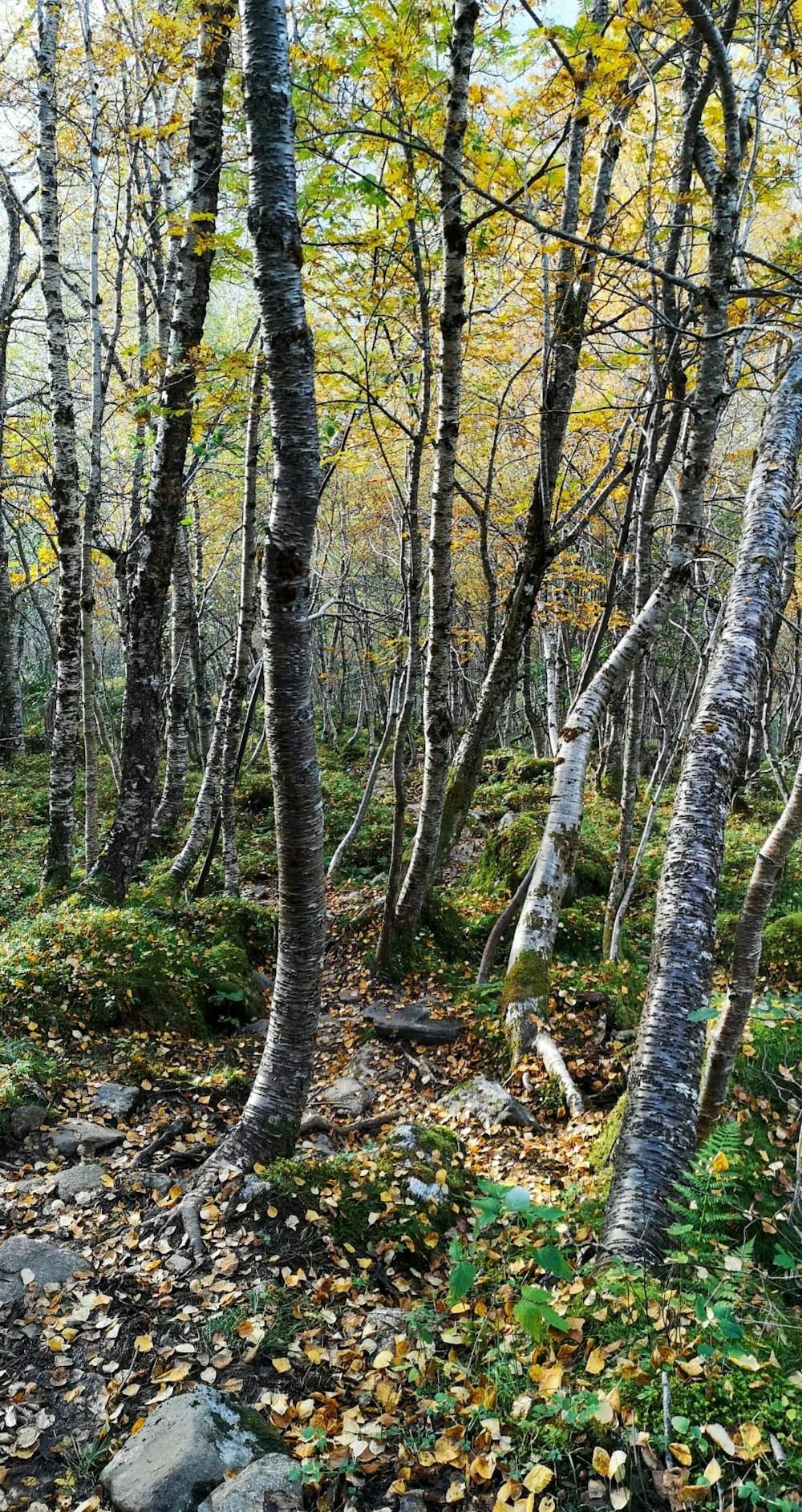
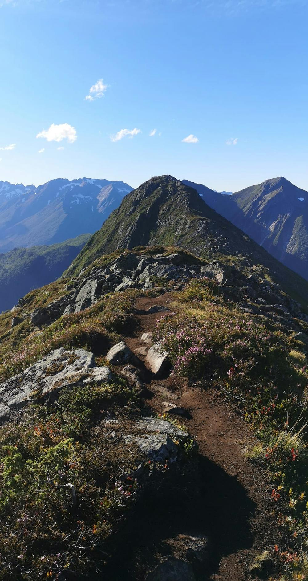
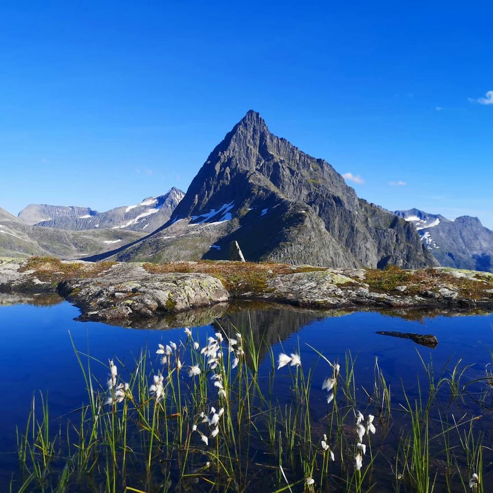
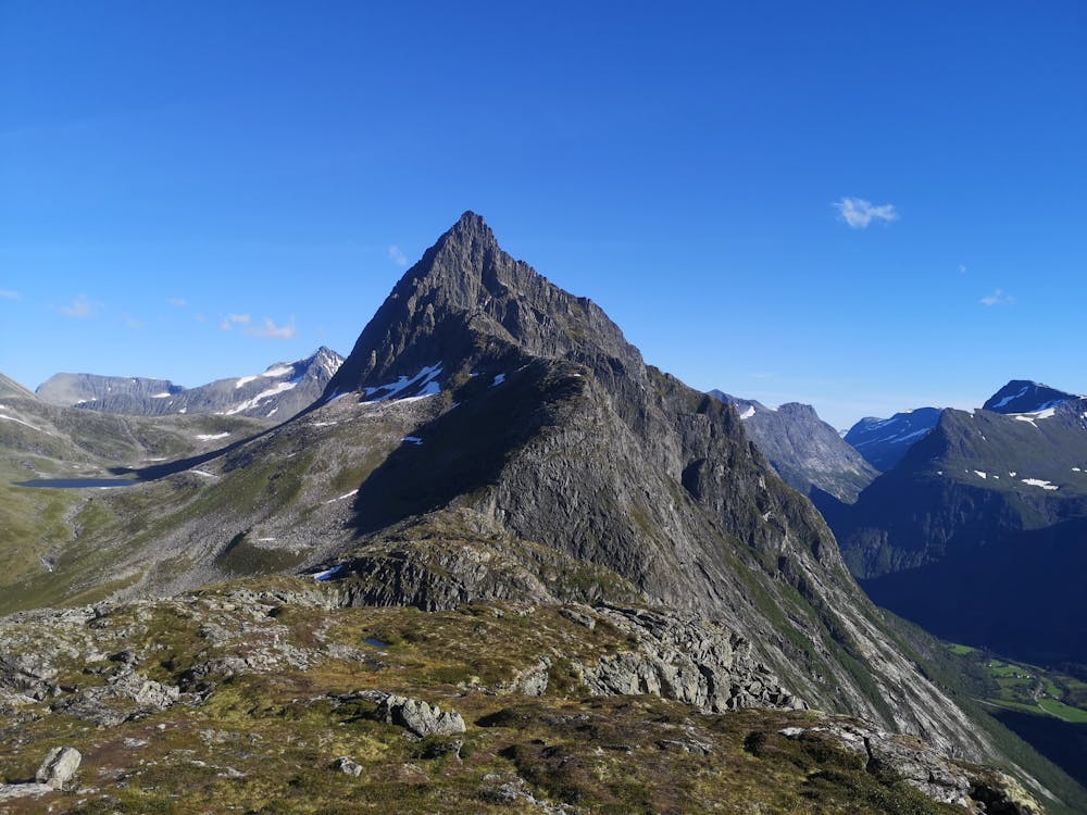
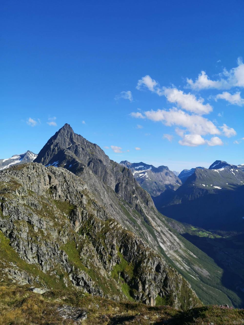
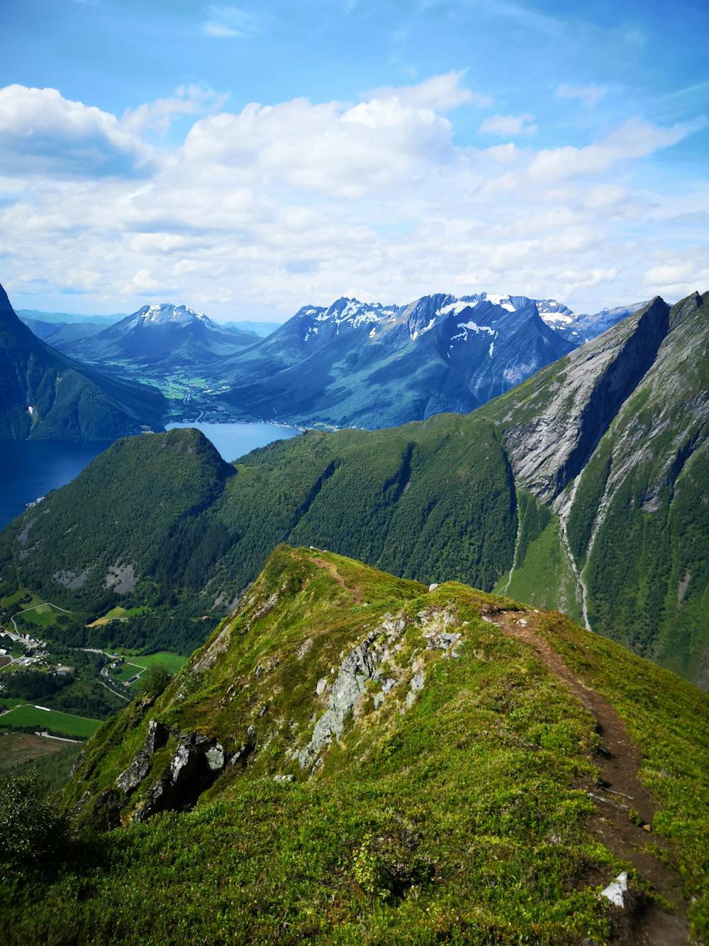
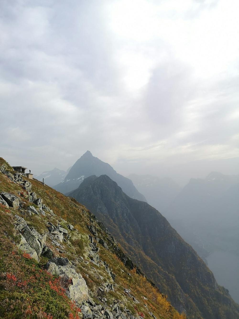
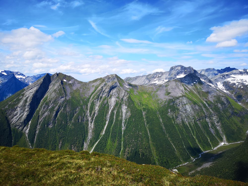
Urkeegga
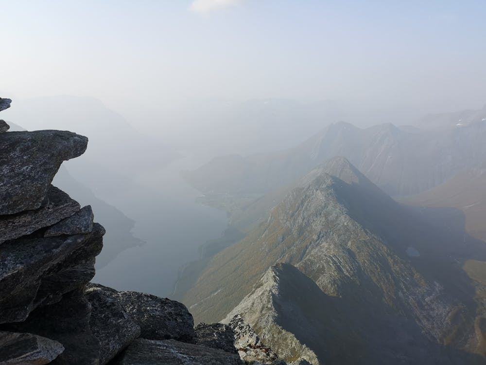
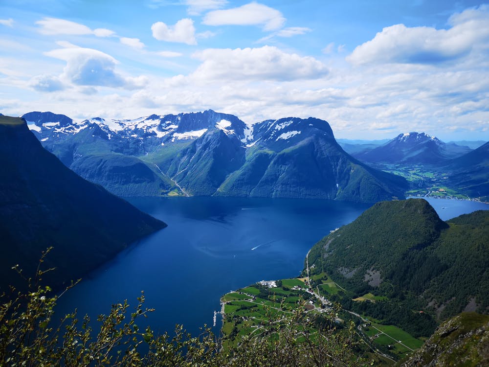
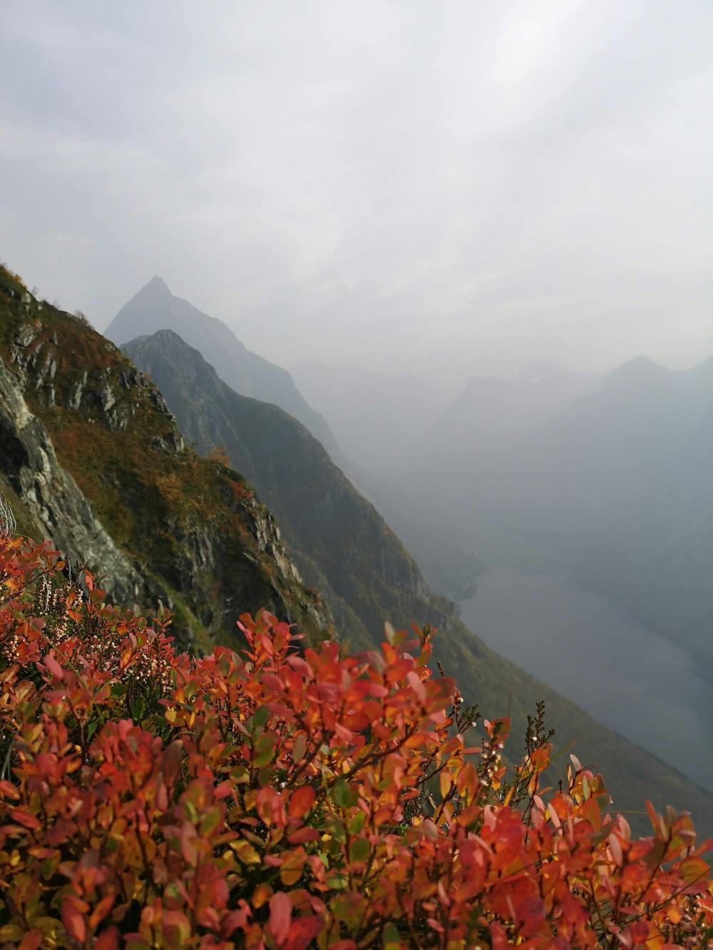
Epic scenery over the Sunnmøre Alps and Hjørundfjorden
Hiking Moderate
- Distance
- 12 km
- Ascent
- 1.3 km
- Descent
- 924 m
- Duration
- 5-6 hrs
- Low Point
- 190 m
- High Point
- 997 m
- Gradient
- 23˚

This is a popular hiking route which is generally considered to be moderate. It's remote, it features medium exposure and is typically done between May and October. From a low point of 190 m to the maximum altitude of 997 m, the route covers 12 km, 1328 vertical metres of ascent and 924 vertical metres of descent.


- •
- •
- •
- •
- •
- •
- •
- •
- •
- •
- •
- •
- •
- •
- •
- •
- •
- •
- •
- •
- •
Description
Great hike with fantastic surroundings
Difficulty
Moderate
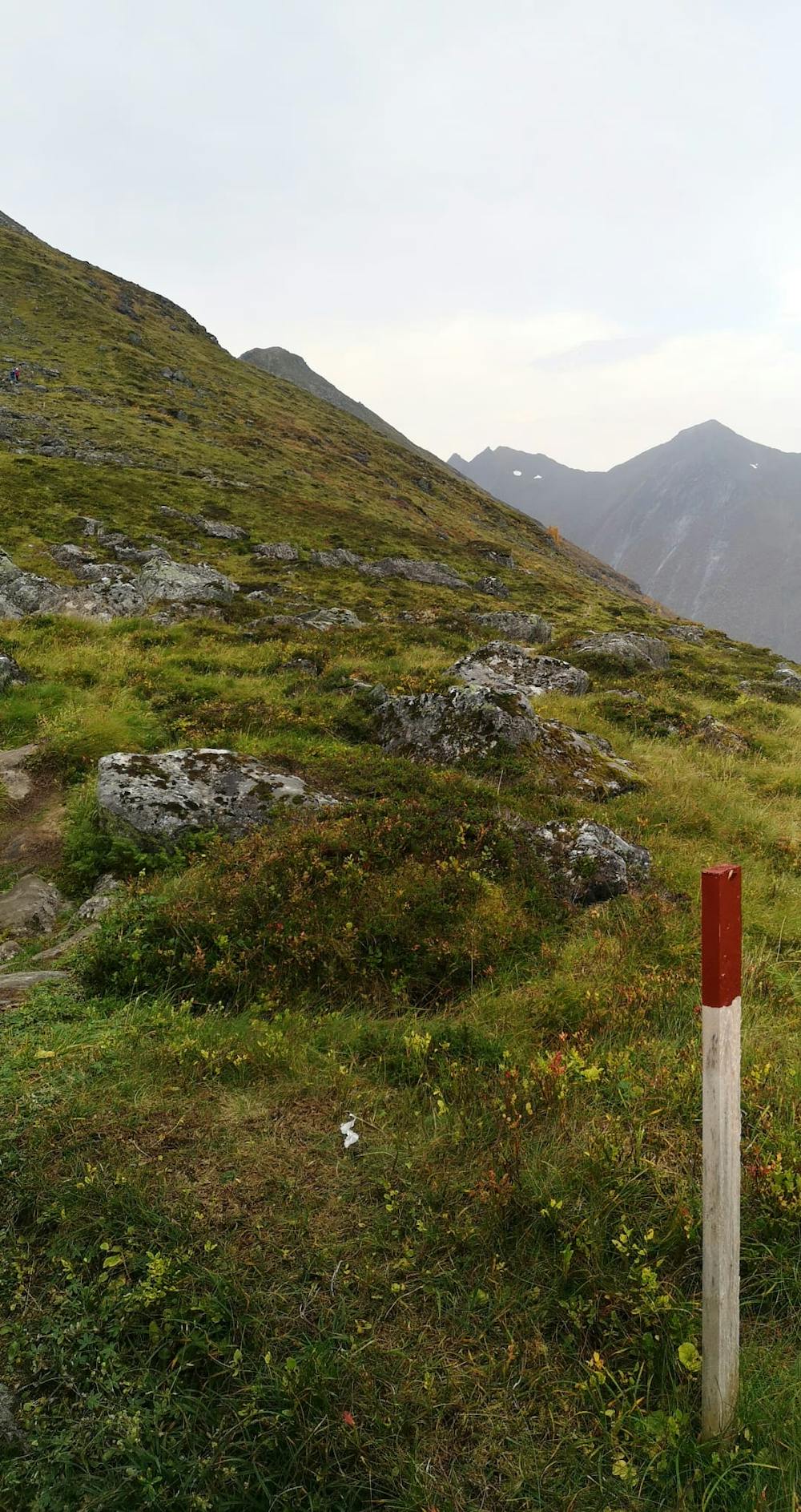
Hiking along trails with some uneven terrain and small hills. Small rocks and roots may be present.
Medium Exposure

The trail contains some obstacles such as outcroppings and rock which could cause injury.
Remoteness
Away from help but easily accessed.
Best time to visit
Features
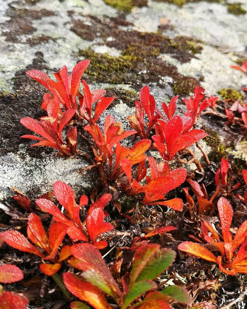
- Picturesque
- Dog friendly
- Family friendly