Gully Line Lofoten
Lofoten
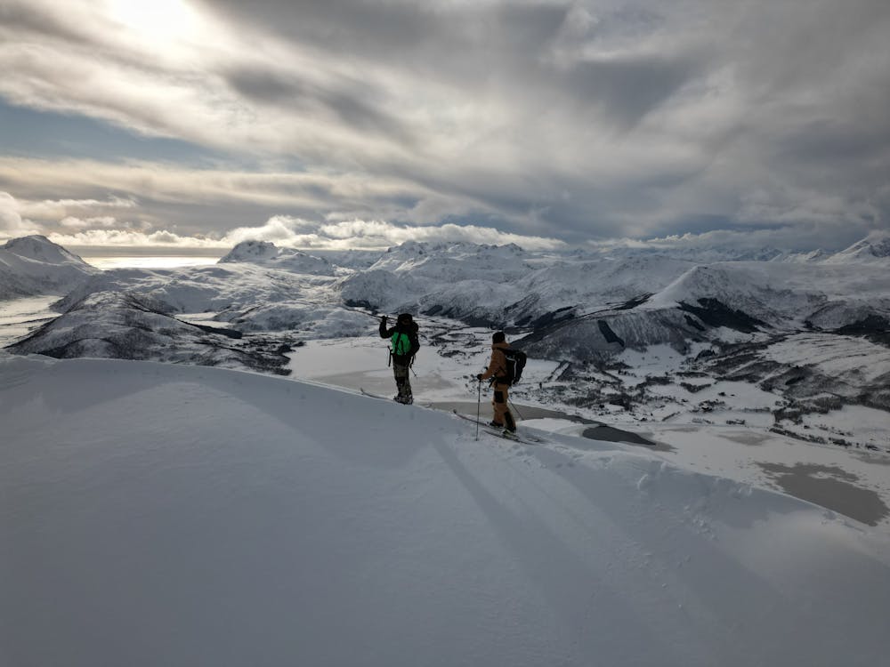
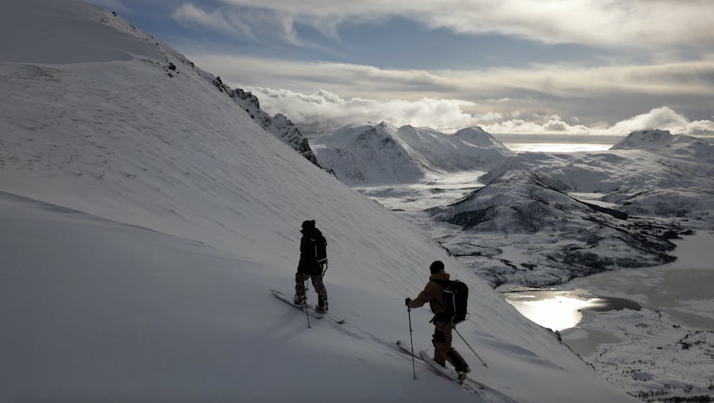
Quick roadside tour up the back bowl and then into the front face where the snow had filled in. Nice mini line and tour.
Freeride Skiing Difficult
- Distance
- 658 m
- Ascent
- 0 m
- Descent
- 434 m
- Low Point
- 34 m
- High Point
- 469 m
- Gradient
- 45˚

This is a popular freeride skiing route which is generally considered to be difficult. It's remote, it features unknown exposure and is typically done between February and March. From a low point of 34 m to the maximum altitude of 469 m, the route covers 658 m, 0 vertical metres of ascent and 434 vertical metres of descent. You'll need skins to complete it safely.
- •
- •
- •
Description
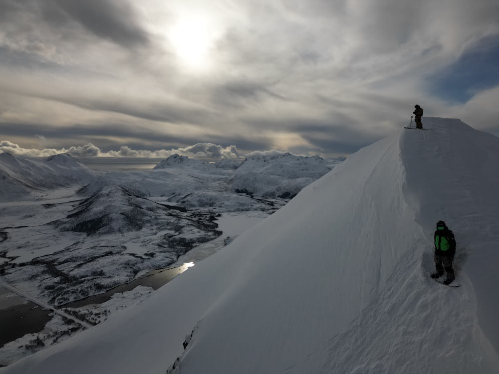
Super quick tour that is easy to access. Number of lines available for the descent and stunning views - obviously!
Difficulty
Difficult
Serious gradient of 30-38 degrees where a real risk of slipping exists.
Remoteness

Away from help but easily accessed.
Best time to visit
Features
- Face
- Walk Required
Equipment required
- Skins