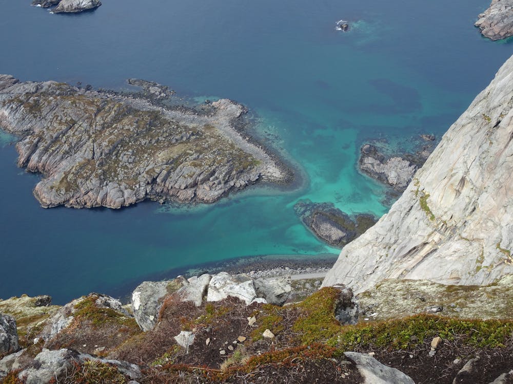
Festvågtinden
Lofoten
Easy hike with a fantastic view!
Hiking Moderate
- Distance
- 1.5 km
- Ascent
- 505 m
- Descent
- 3 m
- Duration
- 1-2 hrs
- Low Point
- 7 m
- High Point
- 510 m
- Gradient
- 24˚

This is a popular hiking route which is generally considered to be moderate. It's remote, it features medium exposure and is typically done between April and September. From a low point of 7 m to the maximum altitude of 510 m, the route covers 1.5 km, 505 vertical metres of ascent and 3 vertical metres of descent.

- •
- •
Description
Path is hard to find at the beginning (between big rocks). But it becomes easier while going up. At the top you have an amazing view of Henningsvaer, the famous football field and the splendide Lofoten Islands!
Difficulty
Moderate
Hiking along trails with some uneven terrain and small hills. Small rocks and roots may be present.
Medium Exposure

The trail contains some obstacles such as outcroppings and rock which could cause injury.
Remoteness
Away from help but easily accessed.
Best time to visit
Features
- Picturesque
- Summit Hike