Geitgallien
Lofoten
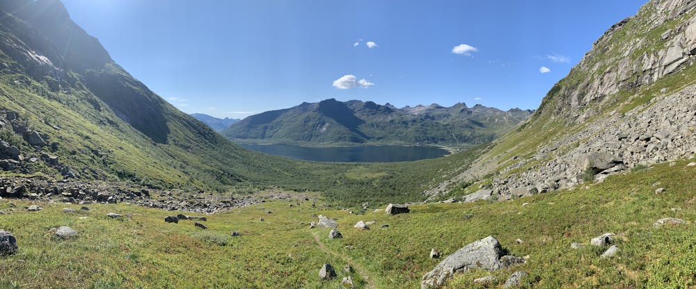
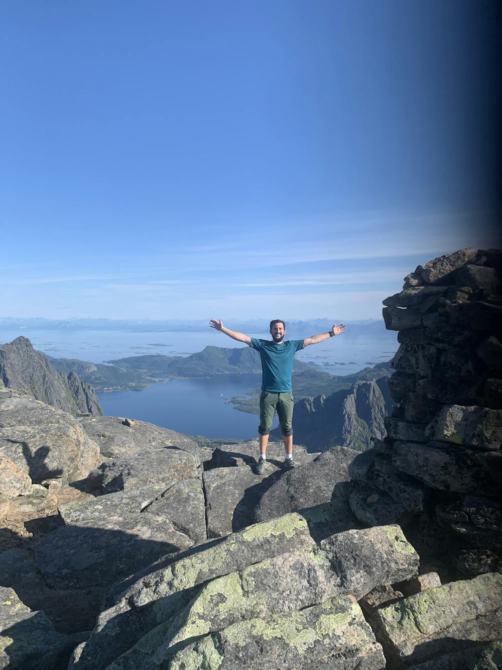
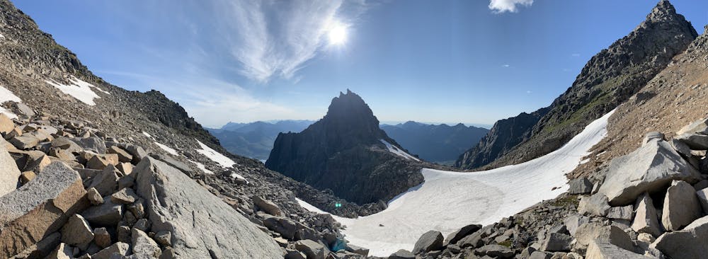
One of the best views in Lofoten
Hiking Difficult
- Distance
- 9.8 km
- Ascent
- 1 km
- Descent
- 1 km
- Duration
- 3-4 hrs
- Low Point
- 6 m
- High Point
- 952 m
- Gradient
- 21˚

This is a popular hiking route which is generally considered to be difficult. It's not remote, it features high exposure and is typically done between June and August. From a low point of 6 m to the maximum altitude of 952 m, the route covers 9.8 km, 1036 vertical metres of ascent and 1036 vertical metres of descent.
- •
- •
- •
- •
- •
Description
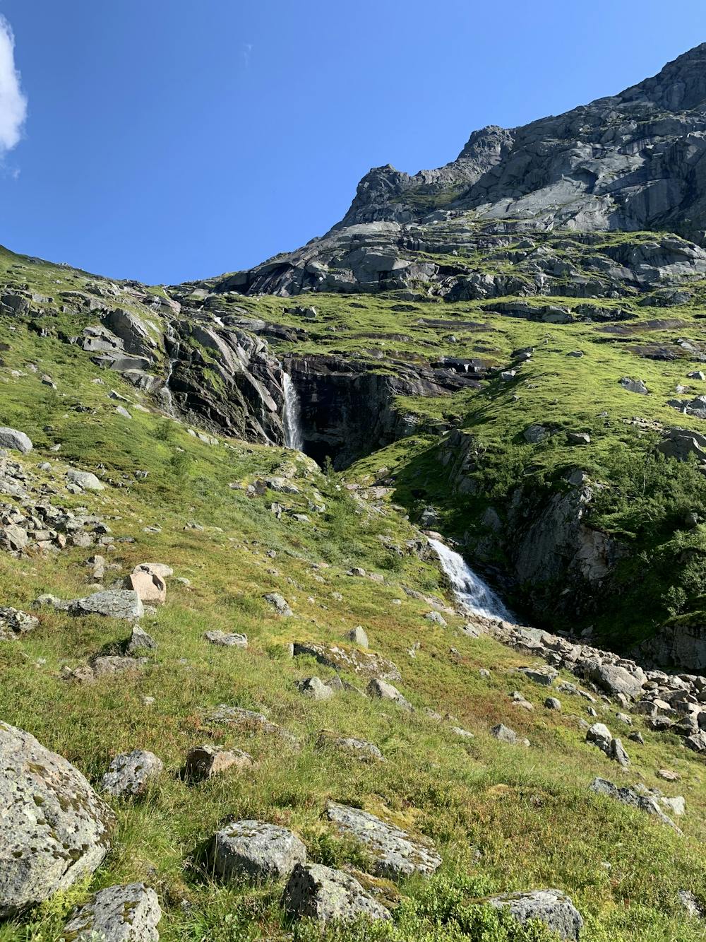
this route has small waterfalls, alpine snow and a 360° view of Lofoten, you can see from Senja to Røst and Korsness to Bodø, GOOD WEATHER CONDITIONS ARE REQUIRED IN ORTHER TO REACH THE TOP SAFELY, the las stretch is very exposed and made of rocks wich you need to step over.
Difficulty
Difficult
Hiking trails where obstacles such as rocks or roots are prevalent. Some obstacles can require care to step over or around. At times, the trail can be worn and eroded. The grade of the trail is generally quite steep, and can often lead to strenuous hiking.
High Exposure

Some trail sections have exposed ledges or steep ascents/descents where falling could cause serious injury.
Remoteness

Close to help in case of emergency.
Best time to visit
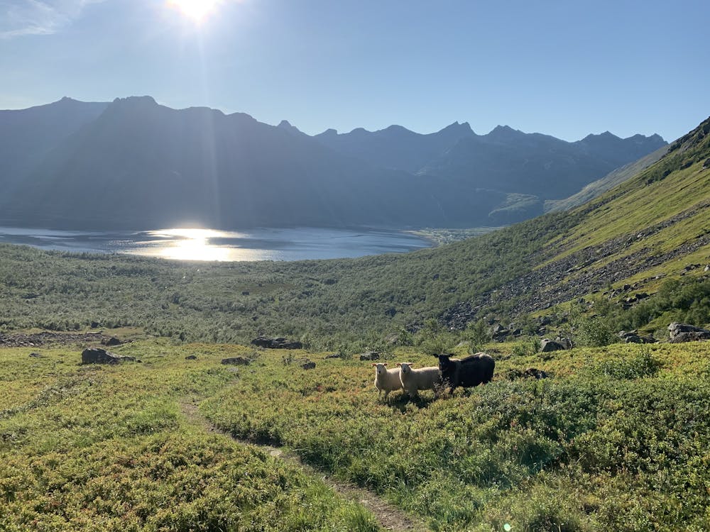
Features
- Picturesque
- Summit Hike
- Wild flowers
- Water features