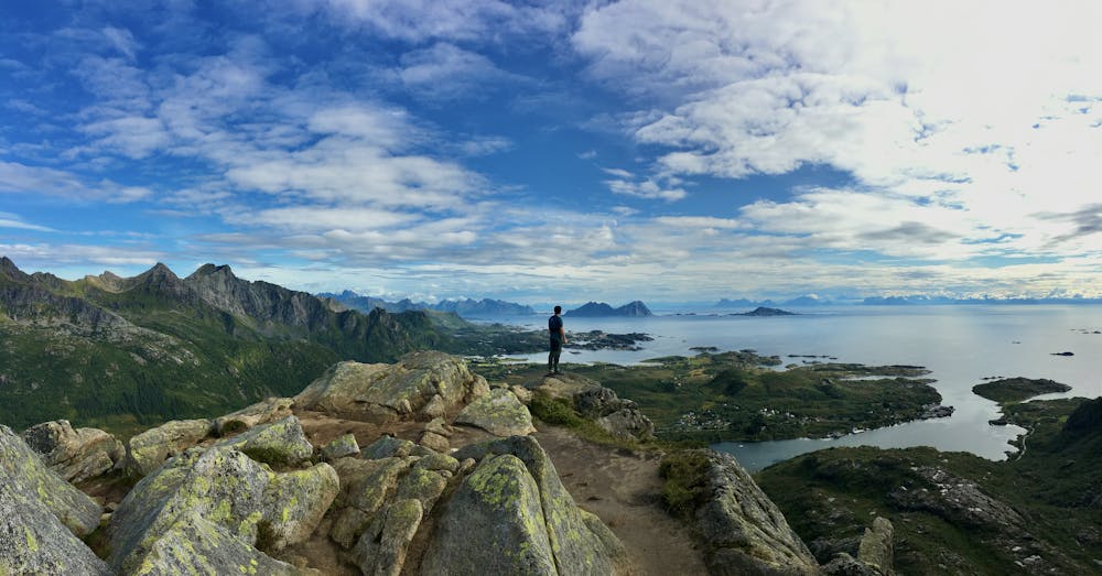
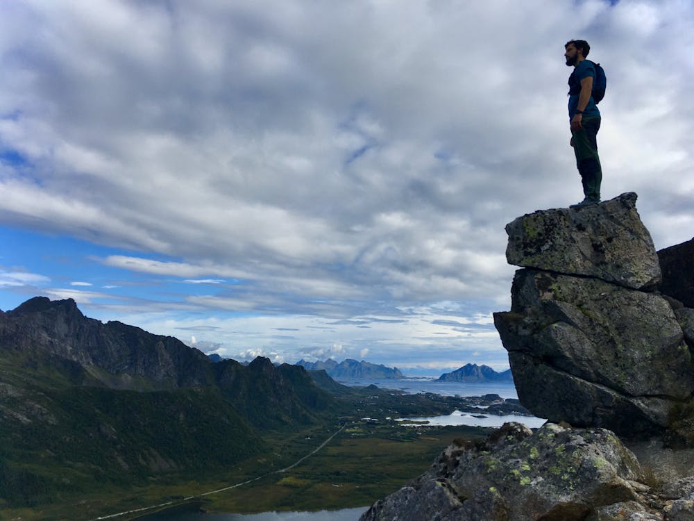
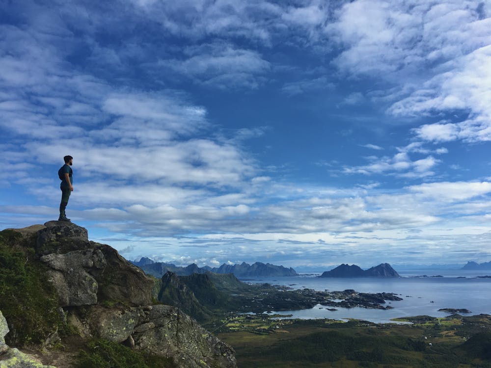
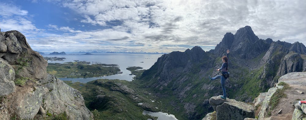
Glomtinden
Lofoten
Easy hike with views to Vågakallen and kabelvåg
Hiking Easy
- Distance
- 7 km
- Ascent
- 439 m
- Descent
- 440 m
- Duration
- 2-3 hrs
- Low Point
- 6 m
- High Point
- 343 m
- Gradient
- 13˚

This is a popular hiking route which is generally considered to be easy. It's not remote, it features medium exposure and is typically done between April and September. From a low point of 6 m to the maximum altitude of 343 m, the route covers 7 km, 439 vertical metres of ascent and 440 vertical metres of descent.
- •
- •
- •
- •
Description
Very easy hike with visible track until the top, last 20 m are quite steep but easy too and not really exposed. Everybody with a regular physical condition could do it.
Difficulty
Easy
Walking along a well-kept trail that’s mostly flat. No obstacles are present.
Medium Exposure

The trail contains some obstacles such as outcroppings and rock which could cause injury.
Remoteness

Close to help in case of emergency.
Best time to visit
Features
- Picturesque
- Summit Hike
- Dog friendly
- Wild flowers
- Family friendly
- Forestry or heavy vegetation