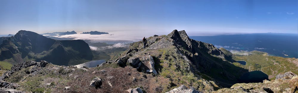
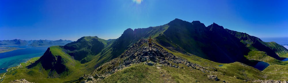
Middagstinden
Lofoten
Beautifull and relatively unknow
Hiking Moderate
- Distance
- 4.4 km
- Ascent
- 681 m
- Descent
- 24 m
- Duration
- 2-3 hrs
- Low Point
- 18 m
- High Point
- 674 m
- Gradient
- 14˚

This is a popular hiking route which is generally considered to be moderate. It's remote, it features medium exposure and is typically done between April and October. From a low point of 18 m to the maximum altitude of 674 m, the route covers 4.4 km, 681 vertical metres of ascent and 24 vertical metres of descent.
- •
- •
- •
- •
- •
- •
Description
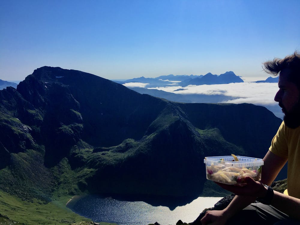
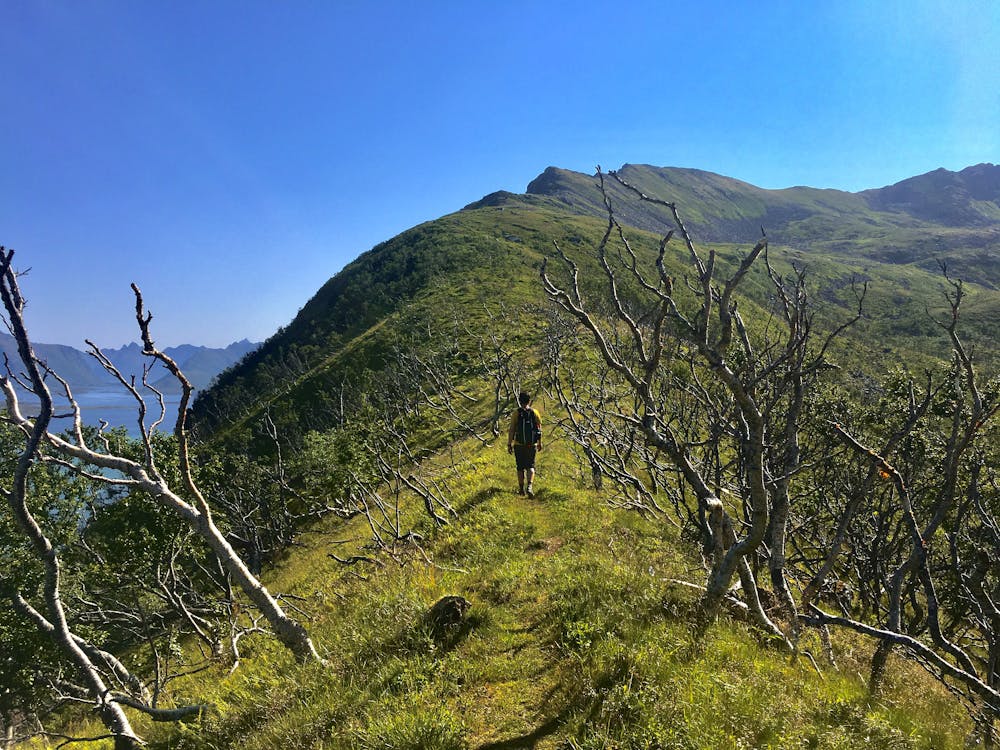
This Hike starts from the road across a sheep track during the first kilometer, after, the ascent goes up through a clear ridge giving an incredible aereal view until the last 150 m aprox. where the hill becomes steeper until you reach the summit.
Difficulty
Moderate
Hiking along trails with some uneven terrain and small hills. Small rocks and roots may be present.
Medium Exposure

The trail contains some obstacles such as outcroppings and rock which could cause injury.
Remoteness
Away from help but easily accessed.
Best time to visit
Features
- Wildlife
- Picturesque
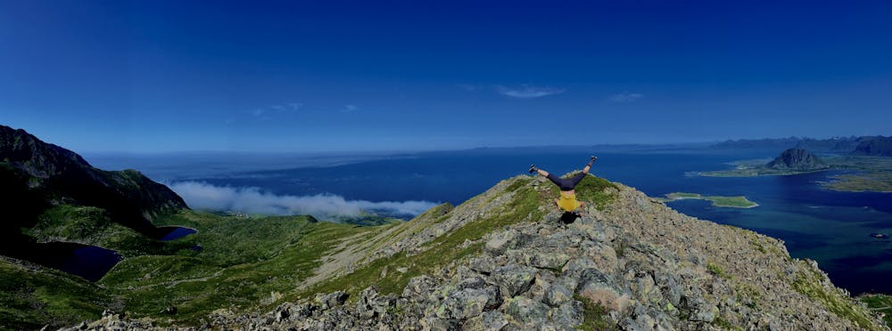
- Summit Hike
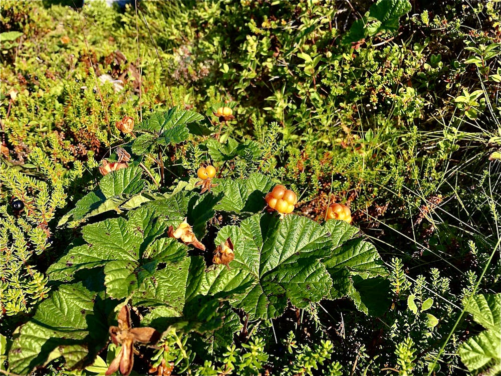
- Wild flowers
- Water features
- Forestry or heavy vegetation