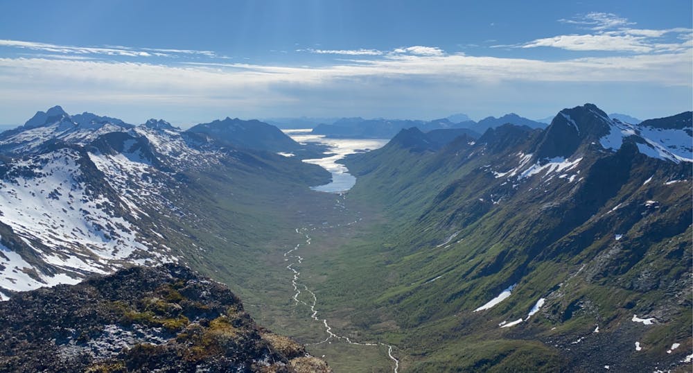
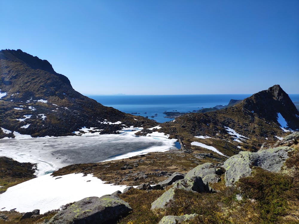
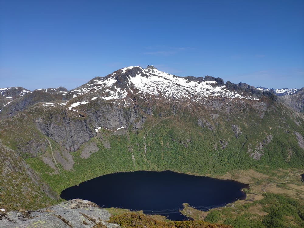
Rundtind-runden
Lofoten
A spectacular round trip
Hiking Extreme
- Distance
- 22 km
- Ascent
- 1.8 km
- Descent
- 1.8 km
- Duration
- 7-8 hrs
- Low Point
- 7 m
- High Point
- 765 m
- Gradient
- 17˚

Begin by ascending Tuva, and follow the ridge to Rundtind/Rundfjellet. Then find the easiest route onto the ridge to Botntind. Find a path down the steep and loose side onto the ridge to Rismålstindan. Follow the ridge down to Nøkksetra before curving around Hans Meyer-fjellet and down the ski hill. The route can be extended in many directions.
- •
- •
- •
Difficulty
Extreme
Scrambling up mountains and along technical trails with moderate fall exposure. Handholds are necessary to navigate the trail in its entirety, although they are not necessary at all times. Some obstacles can be very large and difficult to navigate, and the grades can often be near-vertical. The challenge of the trail and the steepness of the grade results in very strenuous hiking. Hikes of this difficulty blur the lines between "hiking" and "climbing".
High Exposure

Some trail sections have exposed ledges or steep ascents/descents where falling could cause serious injury.
Remoteness
Little chance of being seen or helped in case of an accident.
Best time to visit
Features
- Alpine
- Picturesque
- Summit Hike
- Wild flowers
- Water features