5.7 km away
Himmeltinden west side
Great ski terrain straight above the sea in a remote corner of Lofoten
Difficult Ski Touring
- Distance
- 4.6 km
- Ascent
- 887 m
- Descent
- 887 m
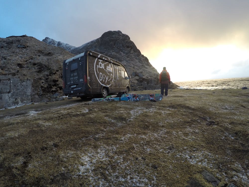
DIY: Mission Lofoten, we walked from Unstad to explore the conditions, we weren't sure what we would find over the first rise, but found a couloir to ride on the other side of the lake.
Ski Touring Difficult

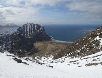
This line is located on the stunning Lofoten peninsula, descending directly from the mountains to the sea. Arriving at the end of the road, past the Unstad surf spot, you head up the track for the Col until you arrive at the lake.
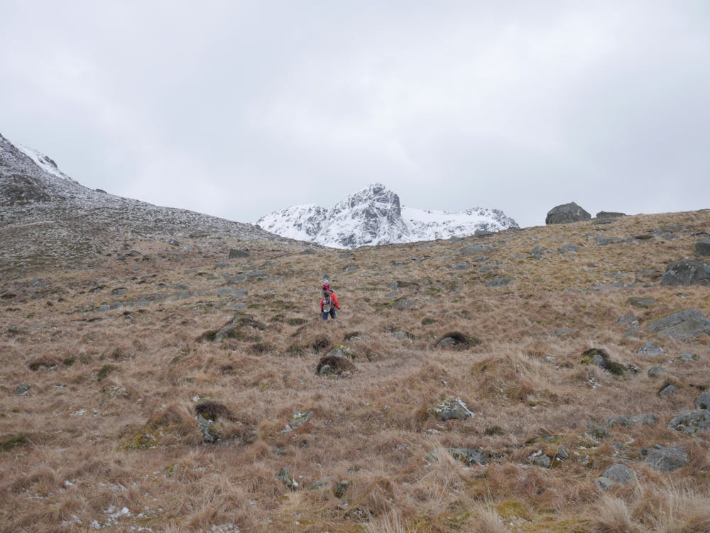
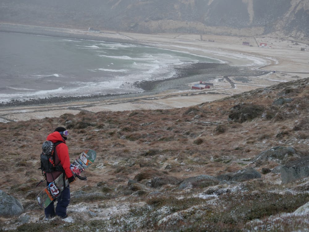
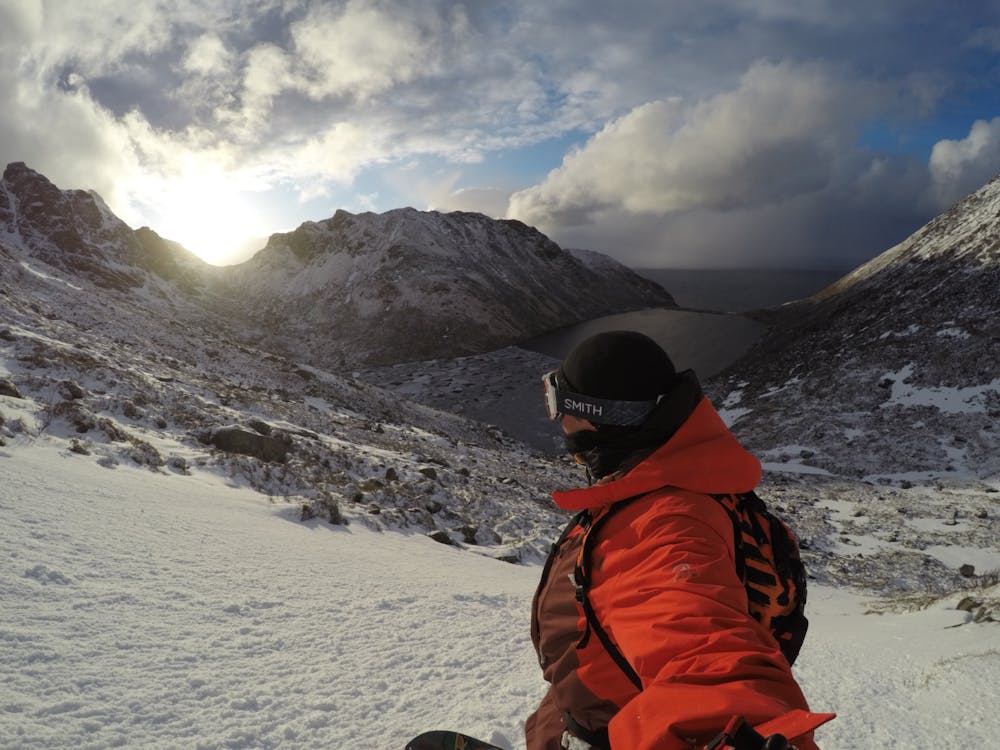
Keep to the left-hand side of the lake, staying relatively high, before traversing the open, rocky bowl to arrive at the bottom of the couloirs.
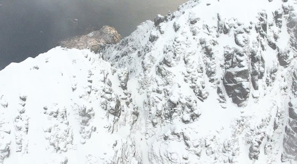
There are numerous lines available, this line being an obvious one to give you the option to continue directly up to the top. The couloir is narrow and the terrain is very rocky, so proceed with caution.
Once at the top, strap in and enjoy the steep line down!
Watch the full video of this line, featured in Xavier de le Rue's web series, DIY: Mission Lofoten: https://www.youtube.com/watch?v=E2wW2yn9fE
Difficult
Serious gradient of 30-38 degrees where a real risk of slipping exists.

Exposure is limited to that of the slope itself. Getting hurt is still likely if the slope is steep and/or the snow is hard.

Little chance of being seen or helped in case of an accident.
5.7 km away
Great ski terrain straight above the sea in a remote corner of Lofoten
Difficult Ski Touring