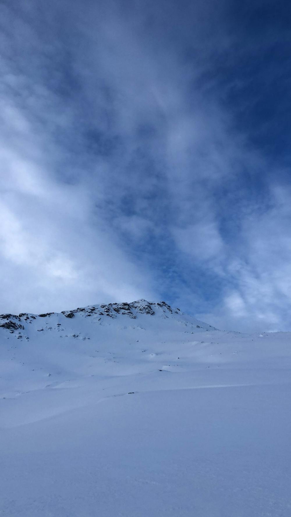
Litletinden
Litletinden Skitour from Dragvik.
Ski Touring Moderate
- Distance
- 13 km
- Ascent
- 1.2 km
- Descent
- 1.2 km
- Duration
- 6-7 hrs
- Low Point
- 51 m
- High Point
- 1.1 km
- Gradient
- 38˚

Park at designated spot adjacent to a garage. Cross field, ascent beneath power lines. Continue over plains before turning east and uphill for best ascent. Cross a stretch of horizontal skinning before entering the gully. From here, move skiers left over big snow fields to northern part of the ridge. Follow ridge to the peak. Allow approx 4-5 hours for the tour.
Difficulty
Moderate
Slopes become slightly steeper at around 25-30 degrees.
Low Exposure (E1)

Exposure is limited to that of the slope itself. Getting hurt is still likely if the slope is steep and/or the snow is hard.
Remoteness
Close to help in case of emergency.
Best time to visit
Equipment required
- Skins