Sengestokken Line
Lofoten
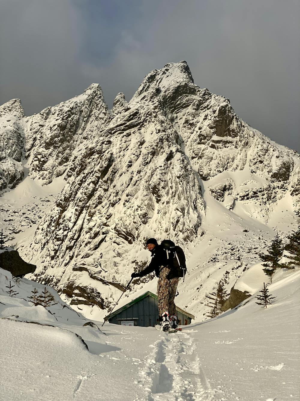
Sengestokken does not look very inviting for riding, but having explored a few times with the crew we found some really nice lines, this narrow rocky run was a fun find.
Ski Touring Severe
- Distance
- 2.8 km
- Ascent
- 585 m
- Descent
- 404 m
- Duration
- 2-3 hrs
- Low Point
- 22 m
- High Point
- 542 m
- Gradient
- 52˚

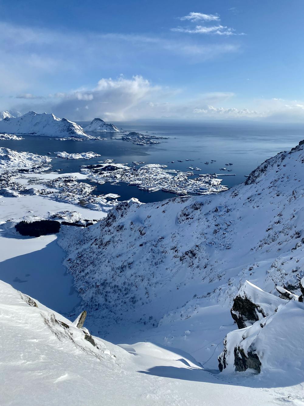
This is a popular ski touring route which is generally considered to be severe. It's remote, it features high exposure (e3) and is typically done between February and March. From a low point of 22 m to the maximum altitude of 542 m, the route covers 2.8 km, 585 vertical metres of ascent and 404 vertical metres of descent. It's graded 5.2 and Labande grade 6. You'll need skins, ice axe and crampons to complete it safely.
- •
- •
Description
This face is very intimidating but there are some nice lines to be found if you go hunting and with good snow conditions this was a fun ride.
Difficulty
Severe
Steep skiing at 38-45 degrees. This requires very good technique and the risk of falling has serious consequences.
High Exposure (E3)

In case of a fall, death is highly likely.
Remoteness

Away from help but easily accessed.
Best time to visit
Features
- Cliffs
- Ski Mountaineering
Equipment required
- Skins
- Ice axe
- Crampons