Rundfjellet: A Thrilling Mountain Run
Lofoten
Mountain running round tour from Svolvær
Trail Running Moderate
- Distance
- 16 km
- Ascent
- 1.3 km
- Descent
- 1.3 km
- Duration
- 3-4 hrs
- Low Point
- 5 m
- High Point
- 764 m
- Gradient
- 19˚

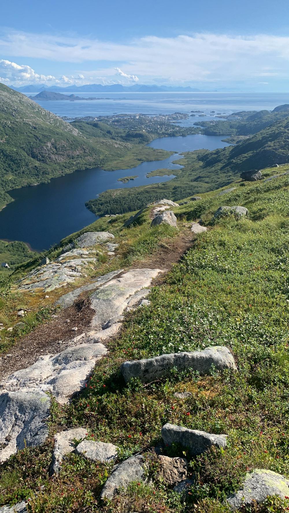
Starting near Lofoten Feriesenter, the trail leads through the treeline to the first summit, Tuva. Passing by the lake, the path descends from the ridge until reaching the lowest point where the lake is visible on the right-hand side. Continuing onward, the ascent to Rundfjellet begins. Descending from the summit can be tricky, requiring some rock downclimbing in certain sections. Ensure to follow a clear path for the descent into the valley and back to Svolvær.
Difficulty
Moderate
Medium Exposure

The trail contains some obstacles such as outcroppings and rock which could cause injury.
Remoteness

Close to help in case of emergency.