Jotunheimen Besseggen Loop
Loop of Jotunheimen that includes the Besseggen Ridge
Hiking Difficult
- Distance
- 81 km
- Ascent
- 4 km
- Descent
- 4 km
- Duration
- 1 day +
- Low Point
- 975 m
- High Point
- 2.5 km
- Gradient
- 20˚
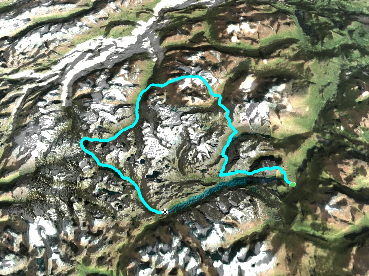
5-6 day loop of Jotunheimen that includes the Besseggen Ridge. Great views and an amazing crossing over Glittertind, Norway's second highest mountain by about 10 meters. There's the option to include a dayhike to Galdhøppigen, Norway's highest mountain. This route includes the (very touristy) Besseggen Ridge. On other stretches of the route, you will not see many people, although you will see sheep and reindeer. The terrain is tough going, as it is very rocky, so make sure to bring sturdy boots and poles. It's an arctic climate, so expect cold, windy and changeable conditions, even in summer.
Description
Itinerary: Day 0: Carpark Gjendesheim - Ridge camp site just before the chains (1.5 hours) Day 1: Ridge camp site - Besseggen - Russvatnet sheltered camp site next to waterfall just past Gloptinden (7 hours) Day 2: sheltered camp site - Nedre Steinbuvann camp site, just past Glitterheim (6-7 hours) Day 3: Glitterheim - Spiterstulen (9-10 hours) Day 4: Spiterstulen - Leirvatnet (7 hours) Day 5: Leirvatnet - Gjendebu - Gjendesheim via ferry (6 hours)
Difficulty
Difficult
Hiking trails where obstacles such as rocks or roots are prevalent. Some obstacles can require care to step over or around. At times, the trail can be worn and eroded. The grade of the trail is generally quite steep, and can often lead to strenuous hiking.
Medium Exposure

The trail contains some obstacles such as outcroppings and rock which could cause injury.
Remoteness
Away from help but easily accessed.
Best time to visit
Features
- Wildlife
- Summit Hike
- Dog friendly
- Wild flowers
- Water features