Memurubu til Surtningssue
Ski tour Memurubu til Surtningssue
Ski Touring Difficult
- Distance
- 8.6 km
- Ascent
- 1.5 km
- Descent
- 255 m
- Duration
- 5-6 hrs
- Low Point
- 1 km
- High Point
- 2.3 km
- Gradient
- 35˚

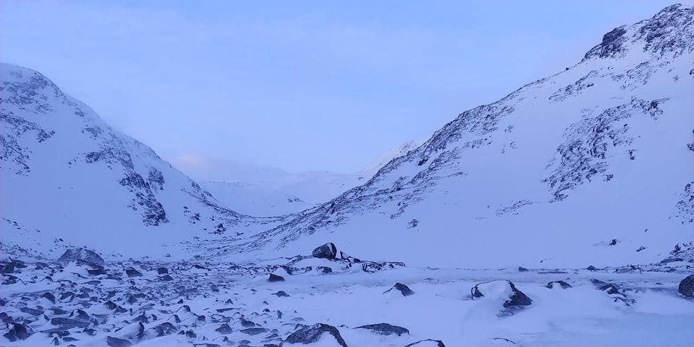
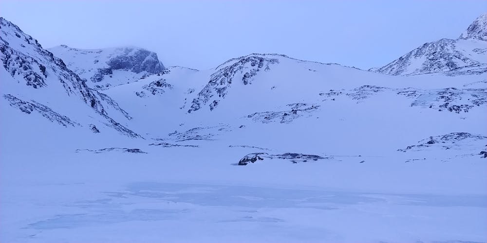
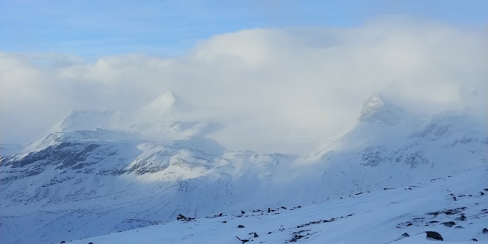
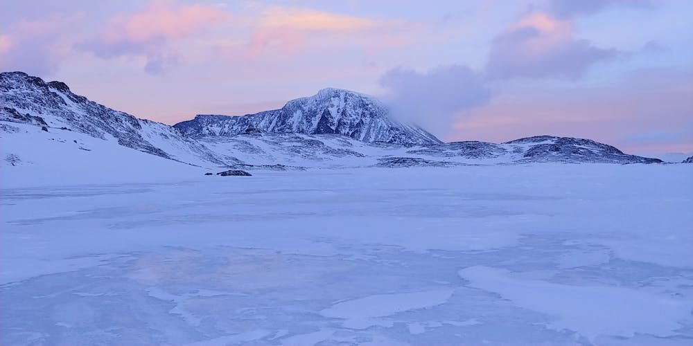
Topp tur fra Memurubu i flotte omgivelser. Ski over the ice from Gjendesheim, 2-3 hours depending on head wind strength. Steep 500 m of ascent to Hesttjønne. Ascent east of point 1623 m to Hestdalen (descent on the west for a great 200m 38 degree couloir). Follow Hestdalen (windblown and icy) to the end and exit on the west to get to the base of the steep post hole climb (crampons) to the summit slope. Easier then to the top. 4-5 hours from Memurubu. The tiny stein nødbu hytte (200 m from the summit ) gives shelter for a much needed break. Decent the same way, or down the scree slope of the summer route if you do not want to ski the 40 degree couloir to the plateau above Hestdalen. A bivouac maybe needed at Memurubu. The trip back over the ice to Gjendesheim is rapid and exciting with a strong wind at your back, and no need for skins on your skis, take only an hour non stop.
- •
- •
- •
- •
Difficulty
Difficult
Serious gradient of 30-38 degrees where a real risk of slipping exists.
Low Exposure (E1)

Exposure is limited to that of the slope itself. Getting hurt is still likely if the slope is steep and/or the snow is hard.
Remoteness

Little chance of being seen or helped in case of an accident.
Best time to visit
Features
- Couloir
- Ski Mountaineering
Equipment required
- Ice axe
- Crampons