6.7 km away
Preikestolen
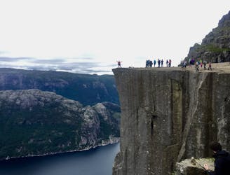
An iconic cliff hanging 604 meters above Lysefjorden.
Difficult Hiking
- Distance
- 7.4 km
- Ascent
- 435 m
- Descent
- 435 m
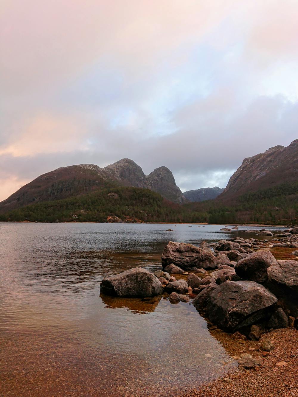
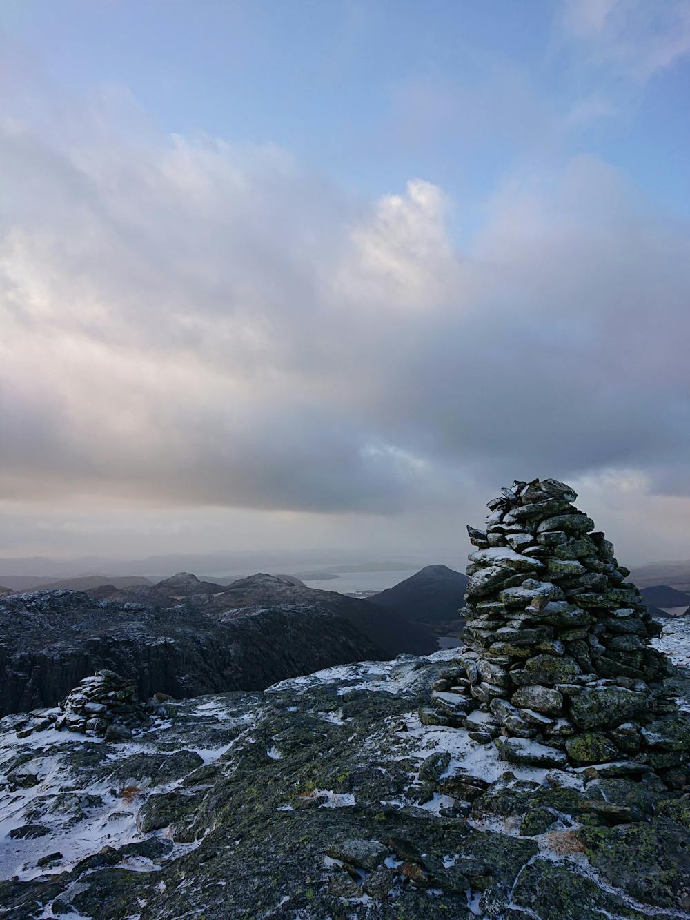
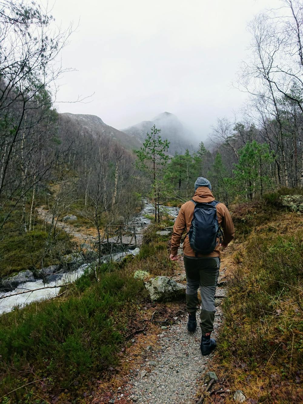
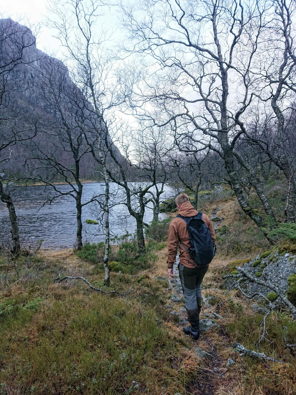
Hikeing in spectacular landscape
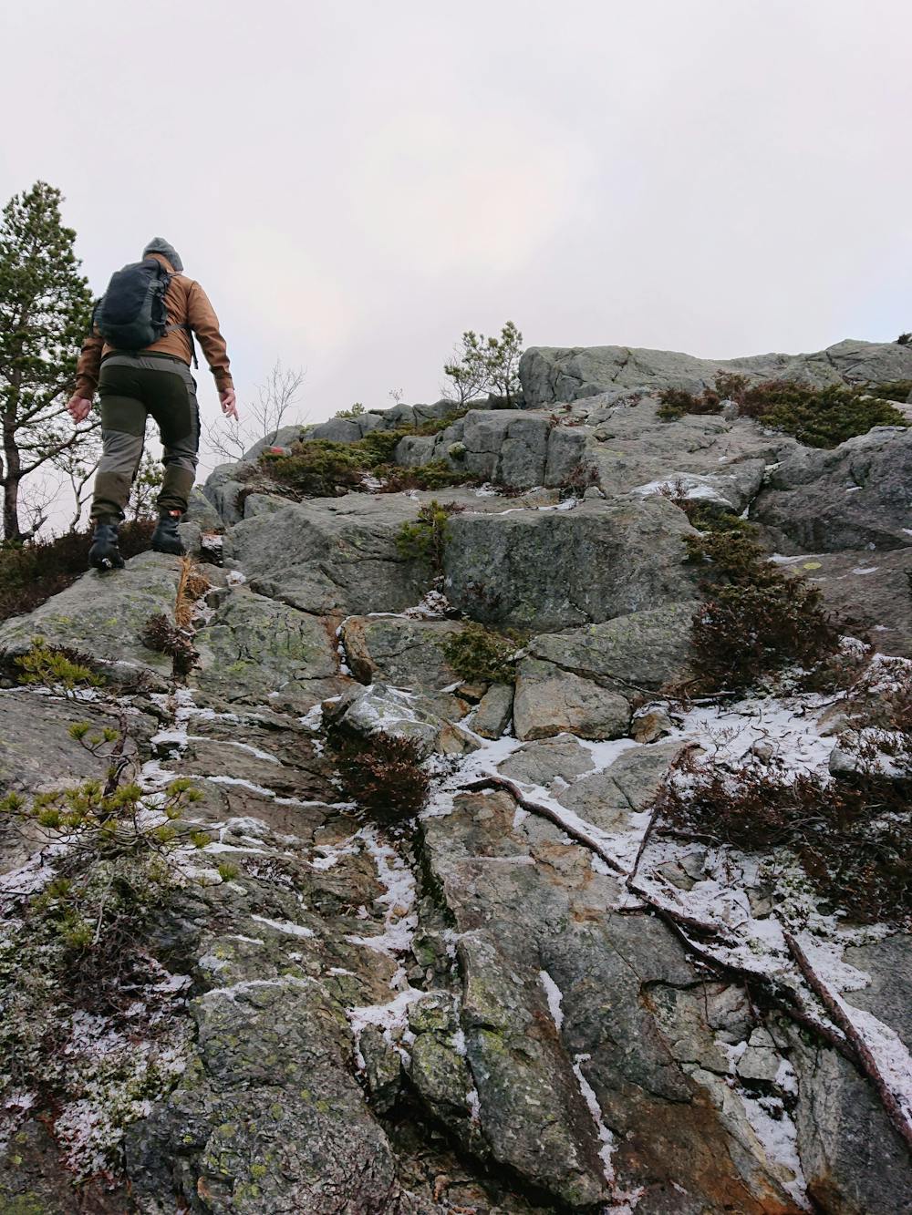
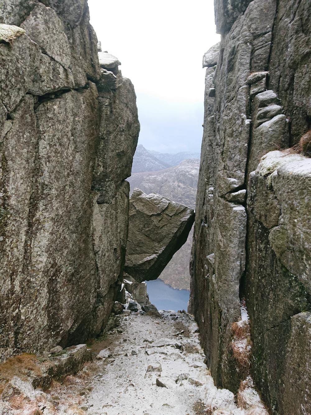
Hiking Difficult

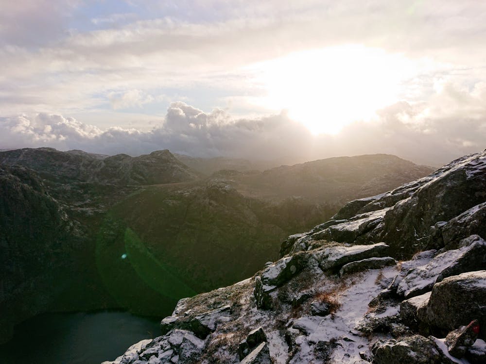
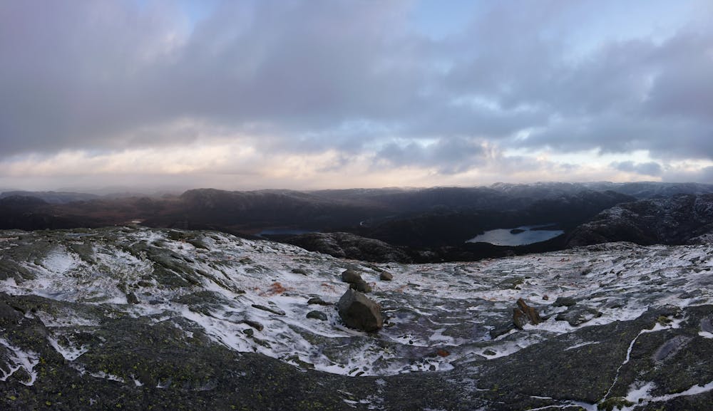
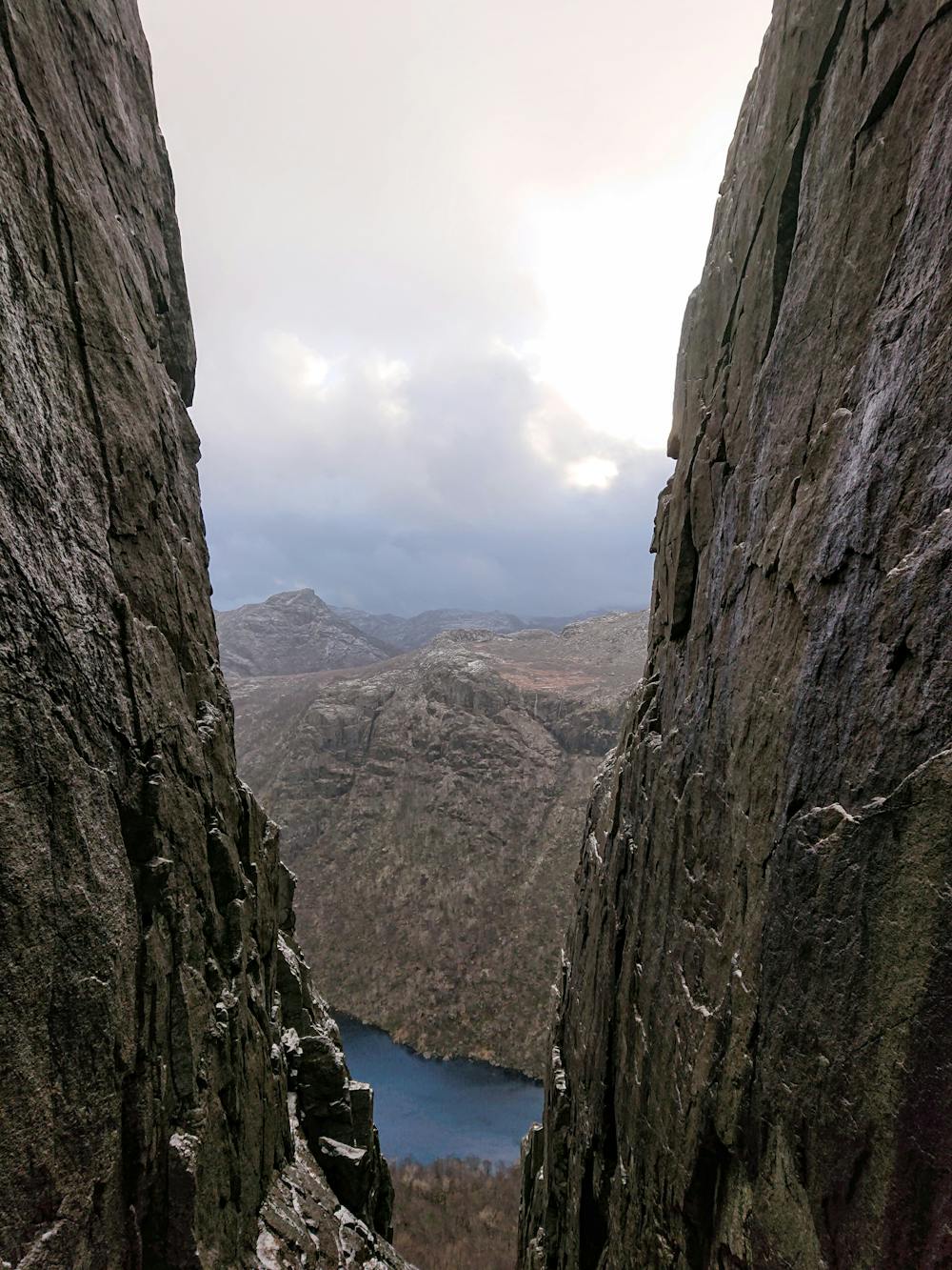
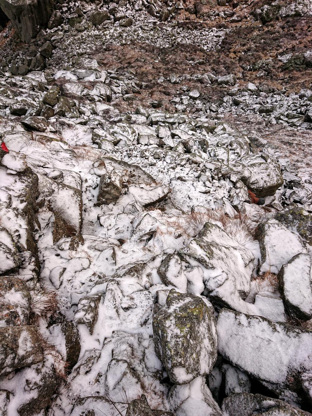
This hike will take you to two twin summits with breathtaking views of the surroundings. The hike is marked very well and it is no problem following the path. The acsents and descents are very steep with lots of rocks and roots you have to step over. Good hiking boots are recommended.
Difficult
Hiking trails where obstacles such as rocks or roots are prevalent. Some obstacles can require care to step over or around. At times, the trail can be worn and eroded. The grade of the trail is generally quite steep, and can often lead to strenuous hiking.

Some trail sections have exposed ledges or steep ascents/descents where falling could cause serious injury.
Little chance of being seen or helped in case of an accident.
6.7 km away
An iconic cliff hanging 604 meters above Lysefjorden.
Difficult Hiking