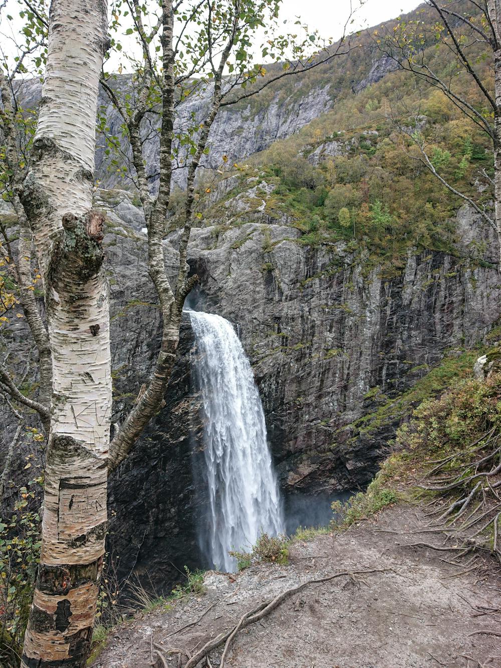
Månafossen
Short hike to a beautiful waterfall
Hiking Moderate
- Distance
- 830 m
- Ascent
- 107 m
- Descent
- 106 m
- Duration
- 0-1 hrs
- Low Point
- 144 m
- High Point
- 251 m
- Gradient
- 14˚

This is a popular hiking route which is generally considered to be moderate. It's very remote, it features high exposure and is typically done between April and October. From a low point of 144 m to the maximum altitude of 251 m, the route covers 830 m, 107 vertical metres of ascent and 106 vertical metres of descent.
Description
Short and relatively steep hike to a very spectacular waterfall. The trail is well marked and easy to follow. The steep parts has chains to make it less demanding to get up. The parking has a little fee.
Difficulty
Moderate
Hiking along trails with some uneven terrain and small hills. Small rocks and roots may be present.
High Exposure

Some trail sections have exposed ledges or steep ascents/descents where falling could cause serious injury.
Remoteness
Little chance of being seen or helped in case of an accident.
Best time to visit
Features
- Wildlife
- Picturesque
- Dog friendly
- Water features
- Family friendly
- Forestry or heavy vegetation