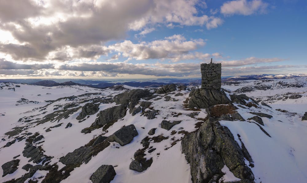
Reiarstofjellet, 854m
Hike with amazing views
Hiking Difficult
- Distance
- 11 km
- Ascent
- 682 m
- Descent
- 682 m
- Duration
- 3-4 hrs
- Low Point
- 267 m
- High Point
- 830 m
- Gradient
- 15˚

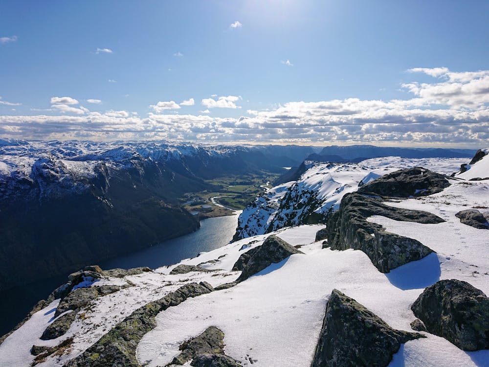
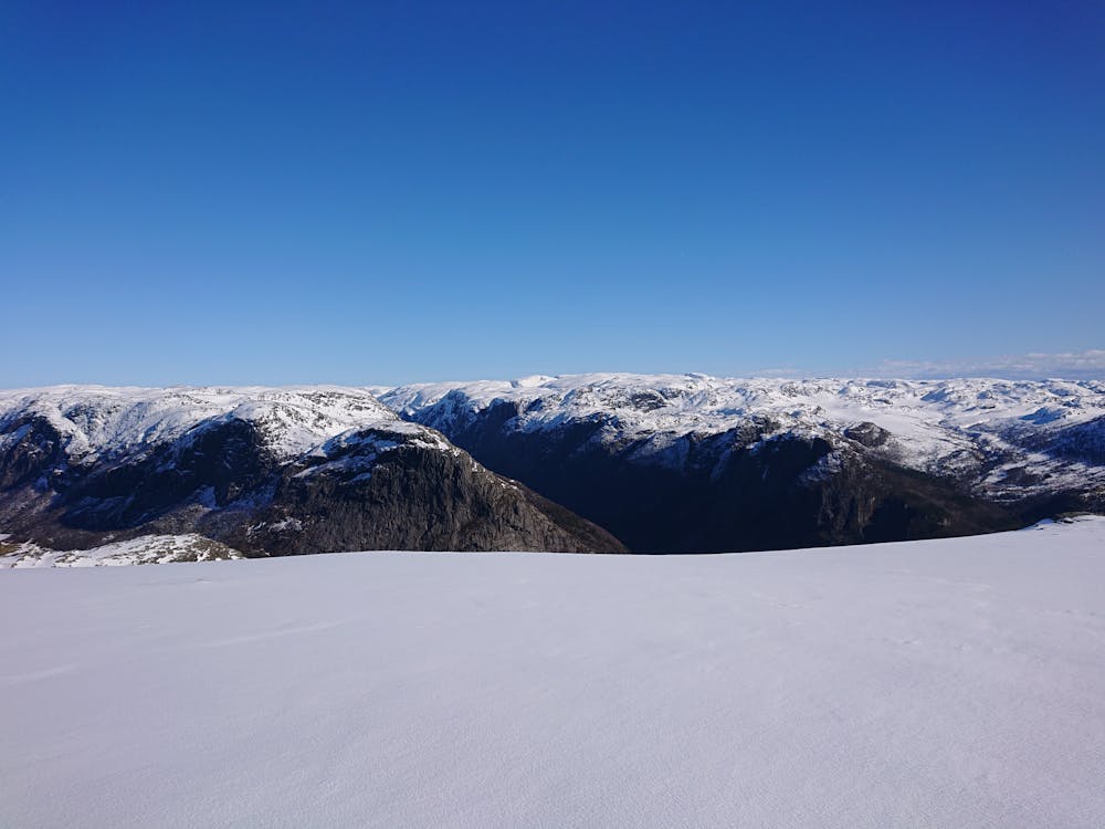
This is a popular hiking route which is generally considered to be difficult. It's extremely remote, it features high exposure and is typically done in May, June, July, August and October. From a low point of 267 m to the maximum altitude of 830 m, the route covers 11 km, 682 vertical metres of ascent and 682 vertical metres of descent.
- •
- •
- •
- •
Description
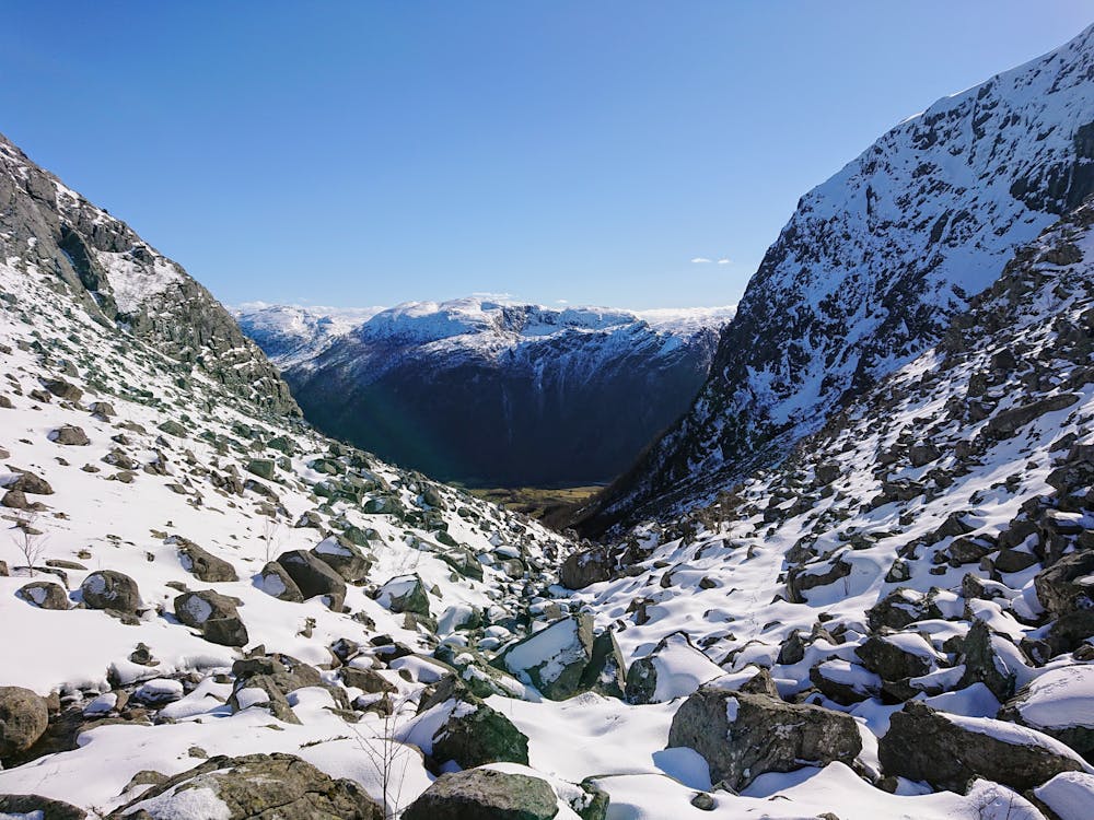
Follow the small path up the mountain pass. Once on top, there is no path. A lot of big rocks and uneven terrain near the top of the pass. The view on the summit is very nice on clear days. Be careful close to the cliffs. For a shorter hike, you can skip Tindafjell.
Difficulty
Difficult
Hiking trails where obstacles such as rocks or roots are prevalent. Some obstacles can require care to step over or around. At times, the trail can be worn and eroded. The grade of the trail is generally quite steep, and can often lead to strenuous hiking.
High Exposure

Some trail sections have exposed ledges or steep ascents/descents where falling could cause serious injury.
Remoteness

In the high mountains or remote conditions, all individuals must be completely autonomous in every situation.
Best time to visit
Features
- Alpine
- Wildlife
- Picturesque
- Summit Hike
- Water features