Tverrfjellet
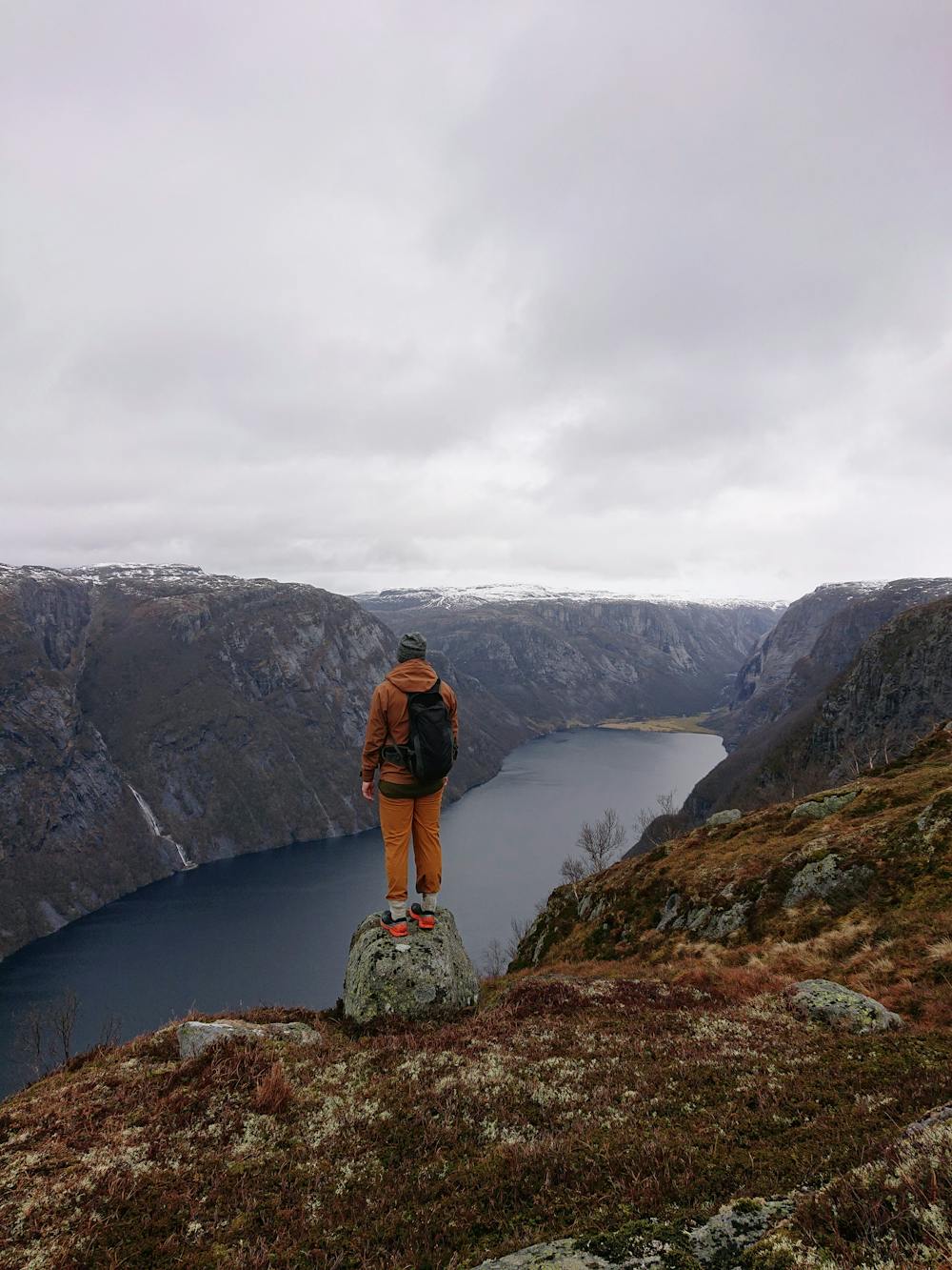
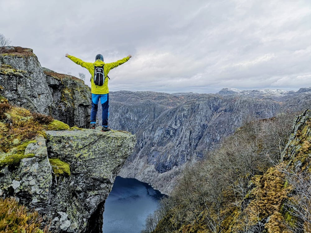
Short, steep hike with incrredible views
Hiking Difficult
- Distance
- 7.6 km
- Ascent
- 792 m
- Descent
- 791 m
- Duration
- 2-3 hrs
- Low Point
- 114 m
- High Point
- 756 m
- Gradient
- 23˚

This is a popular hiking route which is generally considered to be difficult. It's extremely remote, it features high exposure and is typically done between May and October. From a low point of 114 m to the maximum altitude of 756 m, the route covers 7.6 km, 792 vertical metres of ascent and 791 vertical metres of descent.
- •
- •
- •
- •
- •
Description
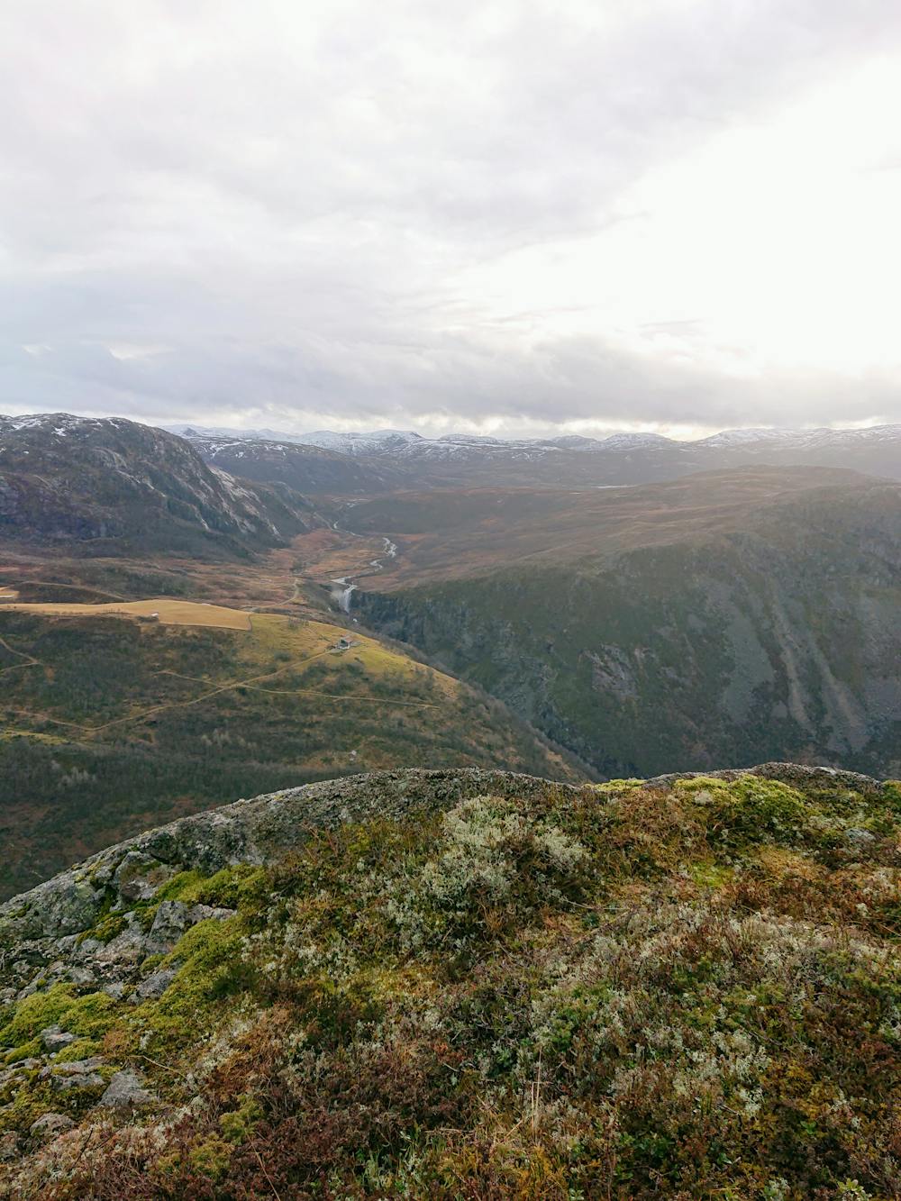
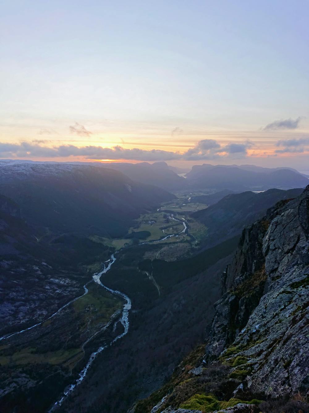
Lots of spectacular viewpoints overlooking the two valleys. The climb is extremely steep.
Difficulty
Difficult
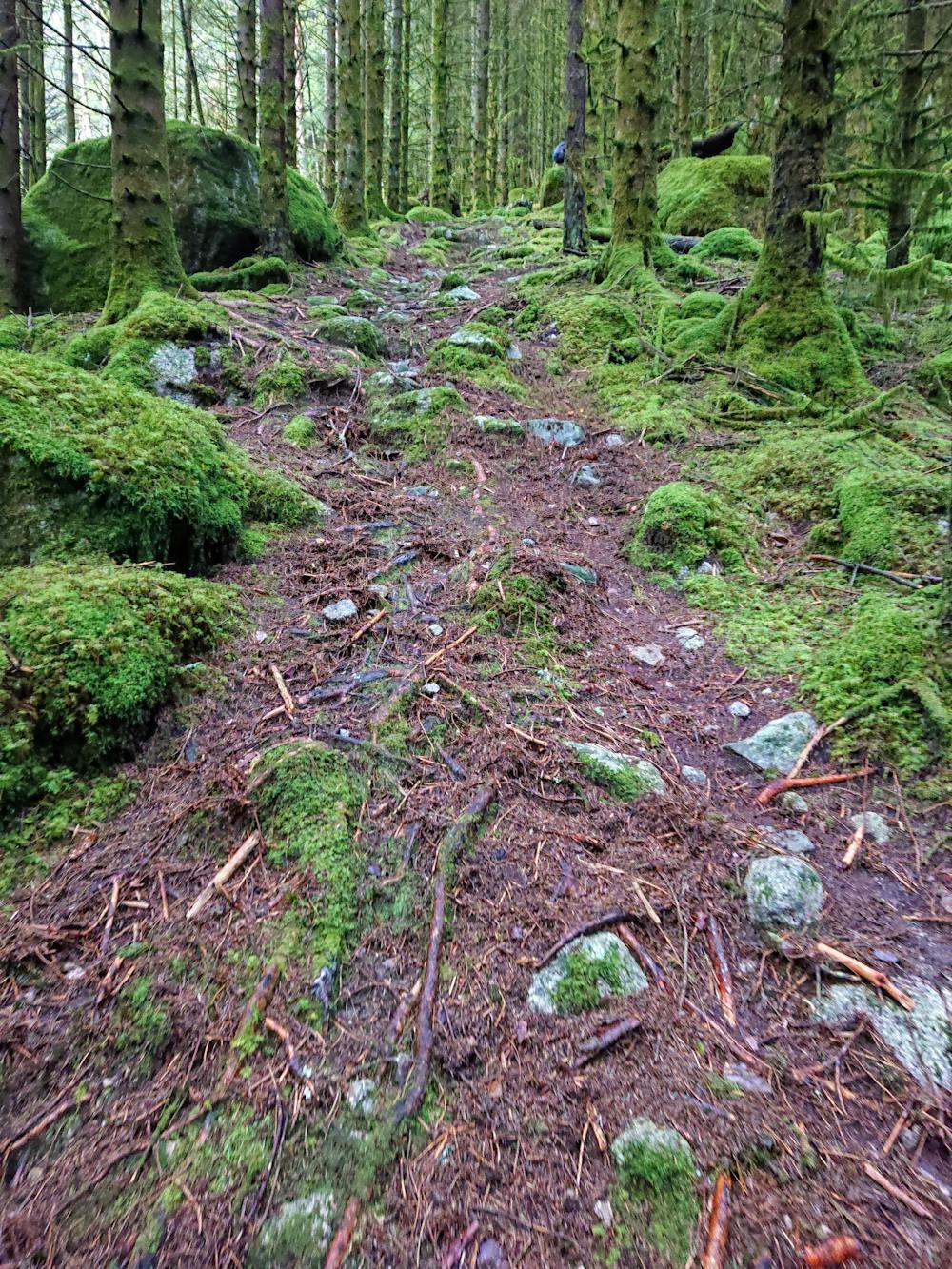
Hiking trails where obstacles such as rocks or roots are prevalent. Some obstacles can require care to step over or around. At times, the trail can be worn and eroded. The grade of the trail is generally quite steep, and can often lead to strenuous hiking.
High Exposure

Some trail sections have exposed ledges or steep ascents/descents where falling could cause serious injury.
Remoteness

In the high mountains or remote conditions, all individuals must be completely autonomous in every situation.
Best time to visit
Features
- Alpine
- Wildlife
- Picturesque
- Summit Hike
- Water features
- Forestry or heavy vegetation