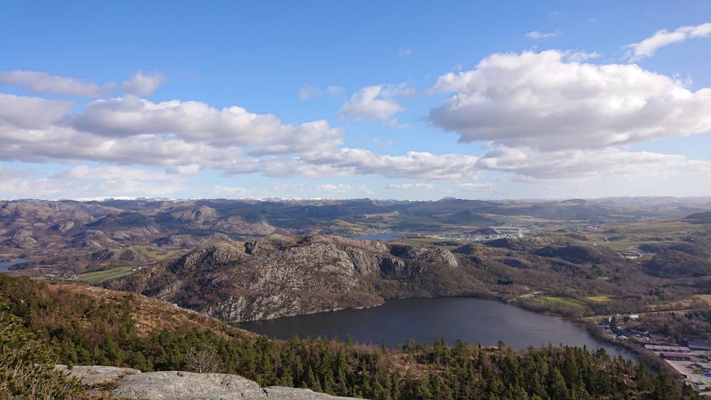
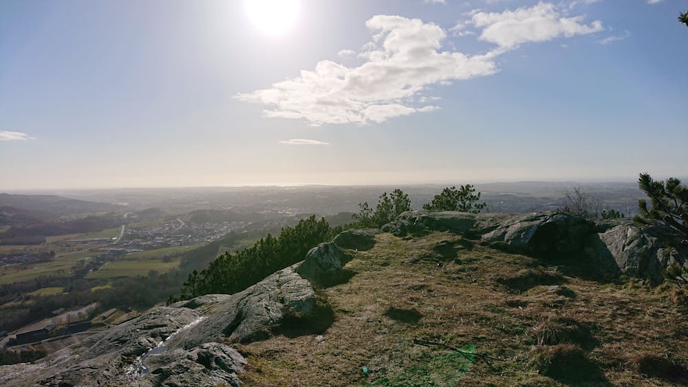
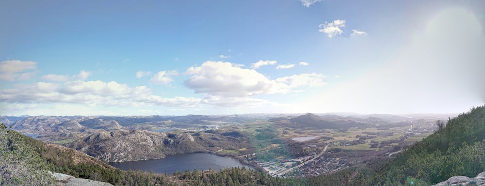
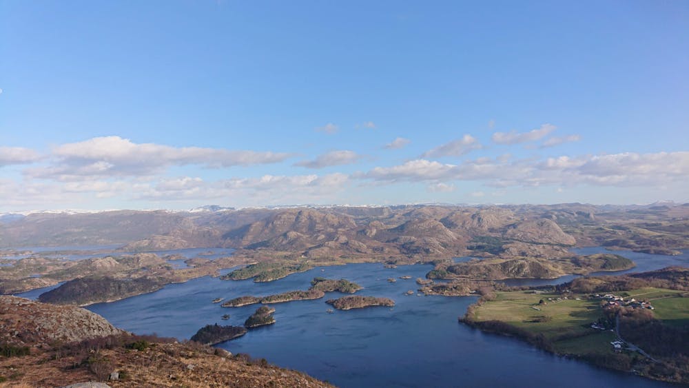
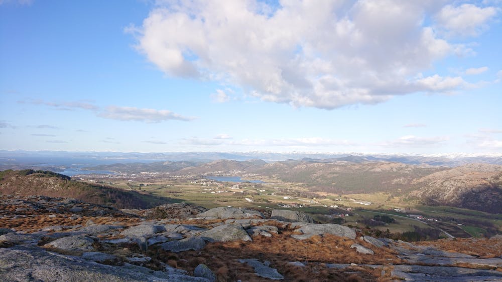
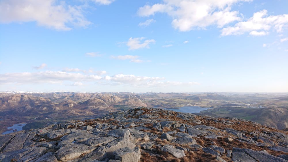
Vassfjellet and Mattirudlå
Scenic hike in the hills of Sandnes
Hiking Difficult
- Distance
- 10 km
- Ascent
- 460 m
- Descent
- 453 m
- Duration
- 2-3 hrs
- Low Point
- 130 m
- High Point
- 333 m
- Gradient
- 13˚

This is a popular hiking route which is generally considered to be difficult. It's remote, it features medium exposure and is typically done between March and November. From a low point of 130 m to the maximum altitude of 333 m, the route covers 10 km, 460 vertical metres of ascent and 453 vertical metres of descent.
- •
- •
- •
- •
- •
- •
- •
- •
- •
- •
- •
- •
Description
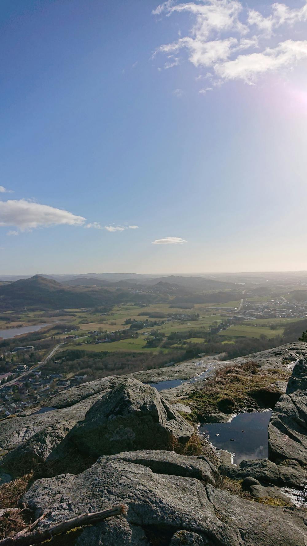
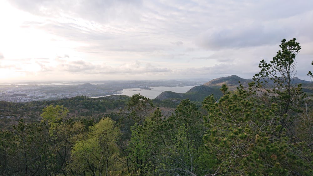
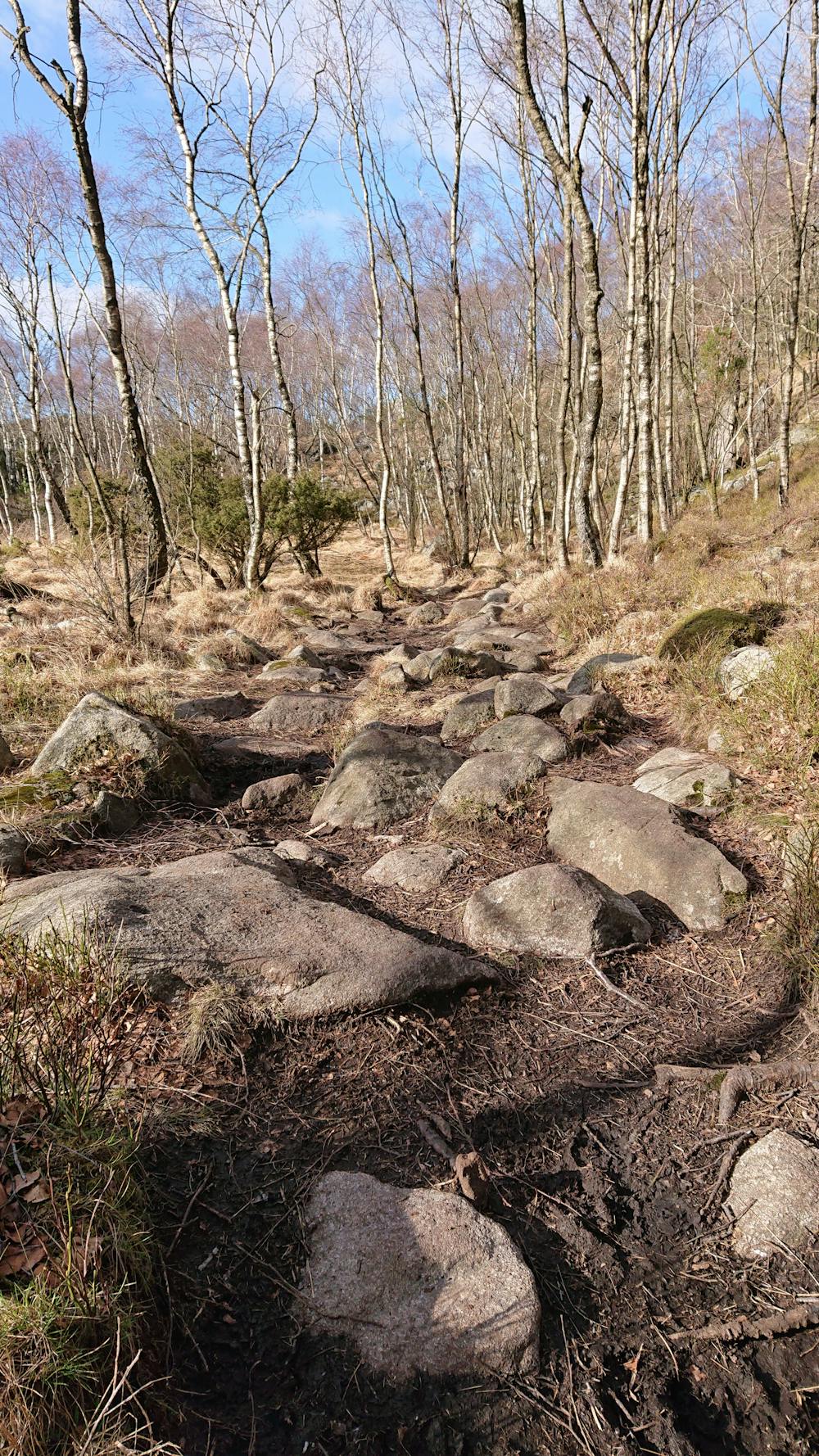
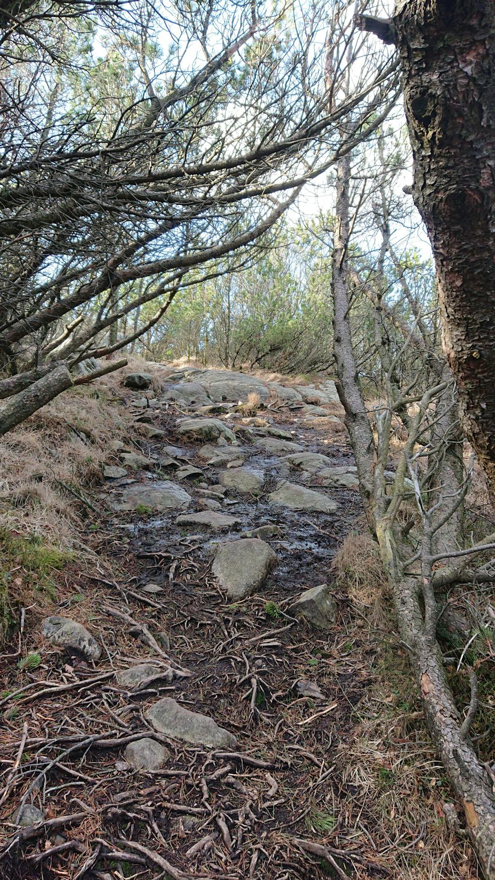
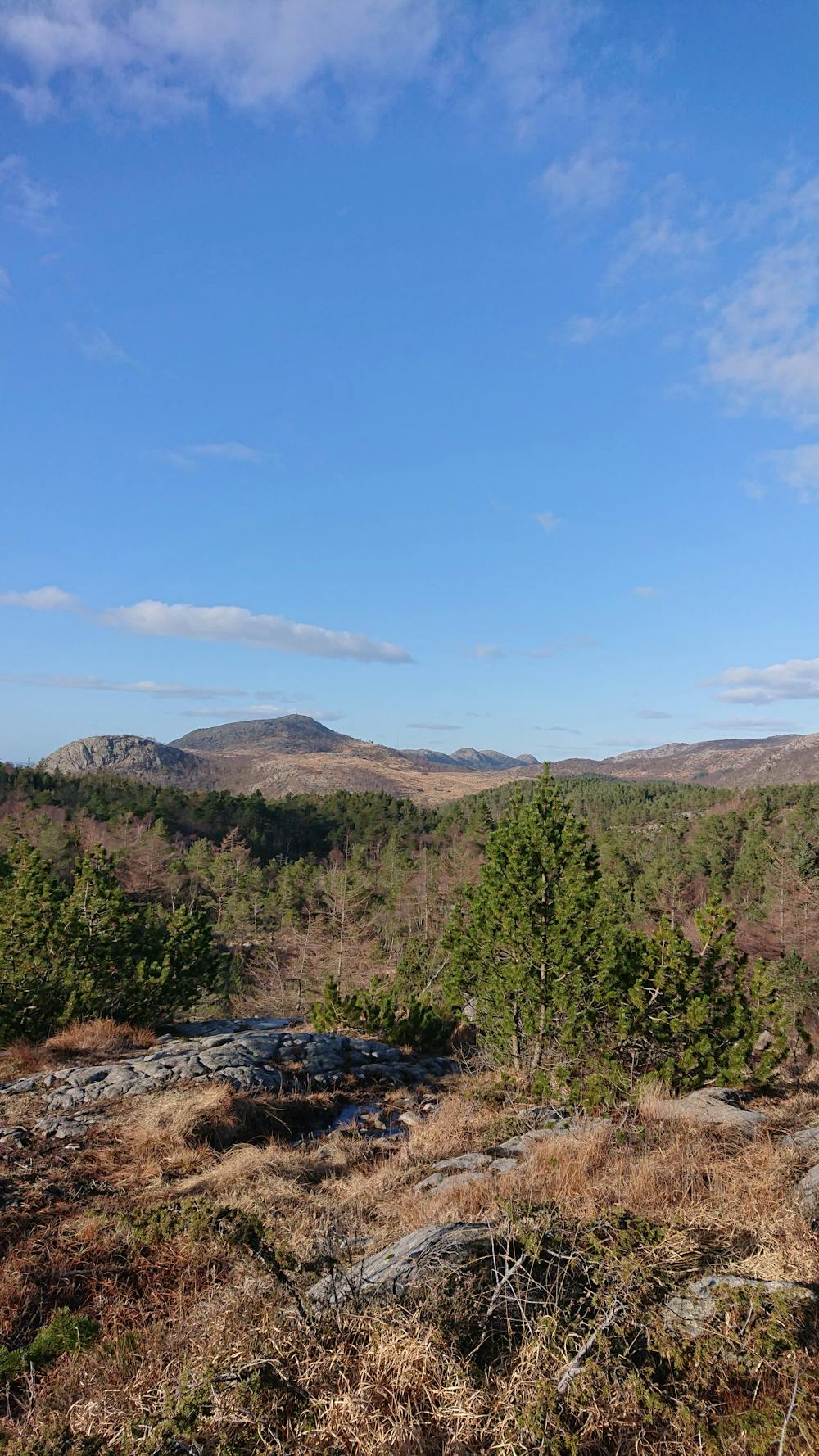
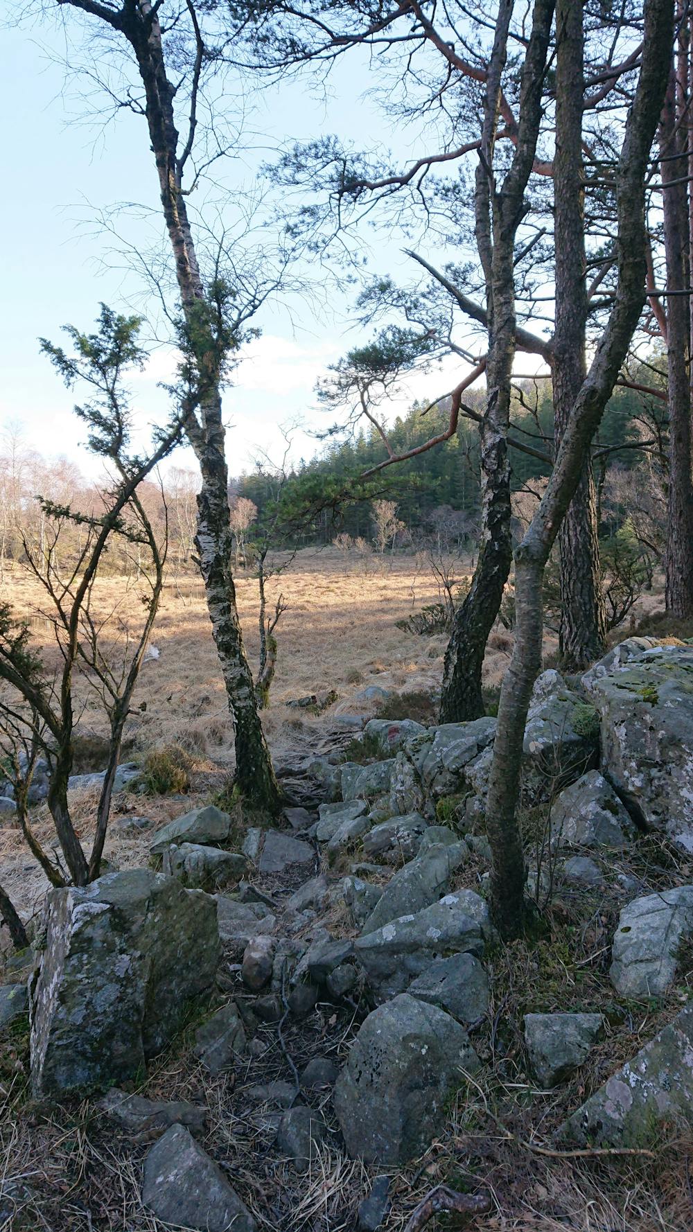
Scenic hike close to Sandnes. A lot of rocks and small obstacles along the path. Hiking boots recommended.
Difficulty
Difficult
Hiking trails where obstacles such as rocks or roots are prevalent. Some obstacles can require care to step over or around. At times, the trail can be worn and eroded. The grade of the trail is generally quite steep, and can often lead to strenuous hiking.
Medium Exposure

The trail contains some obstacles such as outcroppings and rock which could cause injury.
Remoteness
Away from help but easily accessed.
Best time to visit
Features
- Wildlife
- Picturesque
- Summit Hike
- Dog friendly
- Water features
- Family friendly
- Forestry or heavy vegetation