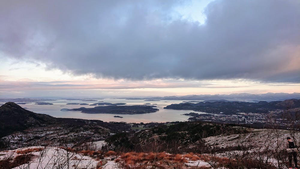
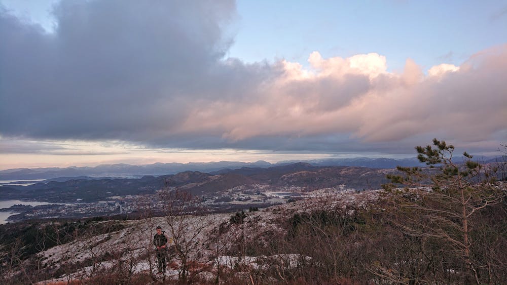
Jødestadfjellet
Short hike with great views
Trail Running Moderate
- Distance
- 6.2 km
- Ascent
- 319 m
- Descent
- 319 m
- Duration
- 1-2 hrs
- Low Point
- 31 m
- High Point
- 318 m
- Gradient
- 9˚

This is a popular trail running route which is generally considered to be moderate. It's remote, it features medium exposure and is typically done between March and November. From a low point of 31 m to the maximum altitude of 318 m, the route covers 6.2 km, 319 vertical metres of ascent and 319 vertical metres of descent.
- •
- •
Description
The trails in Sandnes are perfect for trail running. Spectacular views everywhere, ridges, and peaks. Lots of different trails to choose from.
Difficulty
Moderate
Medium Exposure

The trail contains some obstacles such as outcroppings and rock which could cause injury.
Remoteness
Away from help but easily accessed.