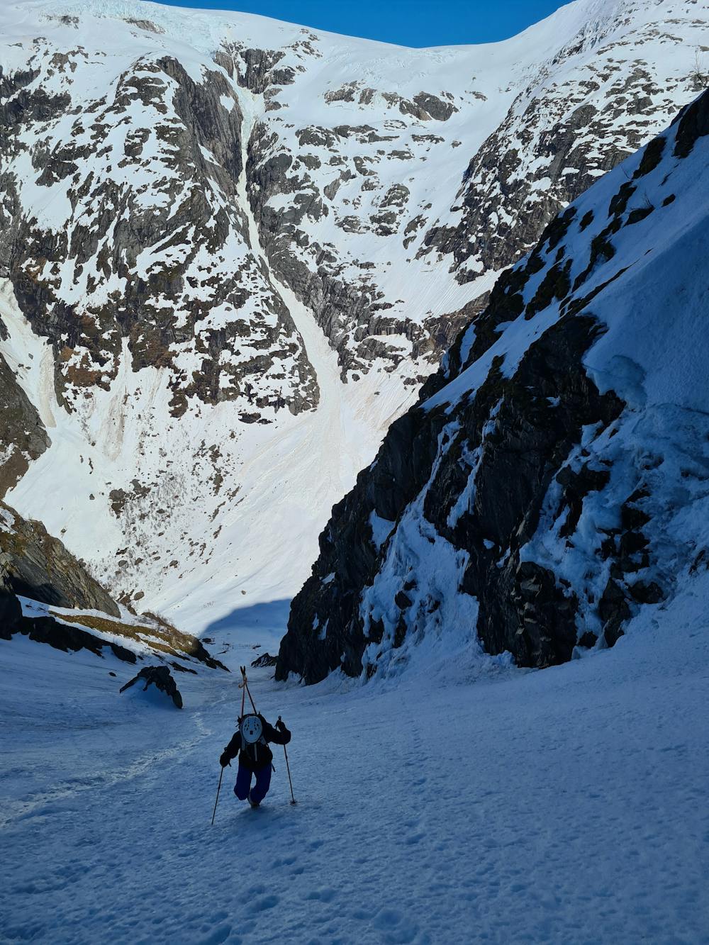
Lundaskaret
Steep and wide couloir
Freeride Skiing Severe
- Distance
- 1.3 km
- Ascent
- 0 m
- Descent
- 646 m
- Low Point
- 340 m
- High Point
- 986 m
- Gradient
- 48˚

This is a popular freeride skiing route which is generally considered to be severe. It's not remote, it features medium exposure (e2) and is typically done between April and June. From a low point of 340 m to the maximum altitude of 986 m, the route covers 1.3 km, 0 vertical metres of ascent and 646 vertical metres of descent.
Description
Park in front of Fjærlandstunnelen. Walk across the the road, and follow the river on its right. Boots up.
Difficulty
Severe
Steep skiing at 38-45 degrees. This requires very good technique and the risk of falling has serious consequences.
Medium Exposure (E2)

As well as the slope itself, there are some obstacles (such as rock outcrops) which could aggravate injury.
Remoteness

Close to help in case of emergency.
Best time to visit
Features
- Couloir