Blåfjell
Climbing the Blåfjell near Askvoll, Norway
Hiking Moderate
- Distance
- 8.6 km
- Ascent
- 631 m
- Descent
- 632 m
- Duration
- 2-3 hrs
- Low Point
- 10 m
- High Point
- 497 m
- Gradient
- 17˚
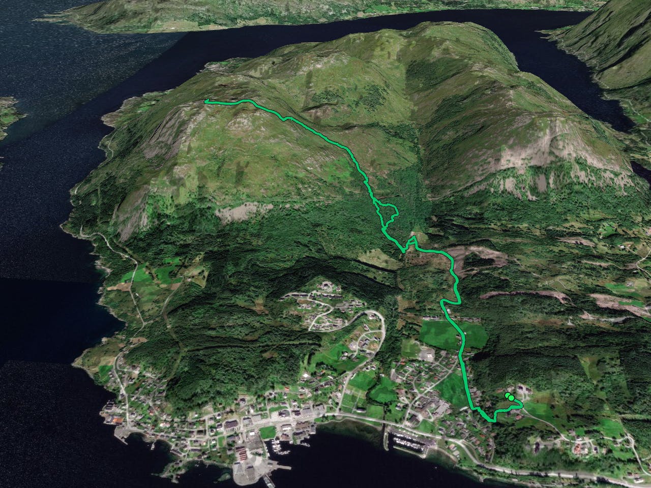
This is a popular hiking route which is generally considered to be moderate. It's remote, it features medium exposure and is typically done between April and September. From a low point of 10 m to the maximum altitude of 497 m, the route covers 8.6 km, 631 vertical metres of ascent and 632 vertical metres of descent.
- •
- •
- •
- •
- •
Description
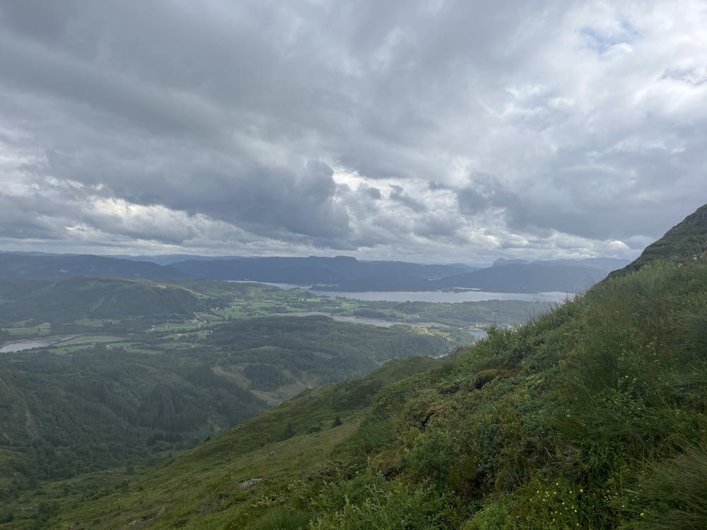
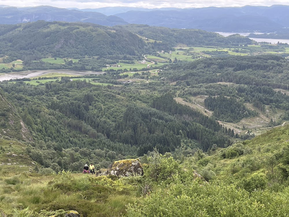
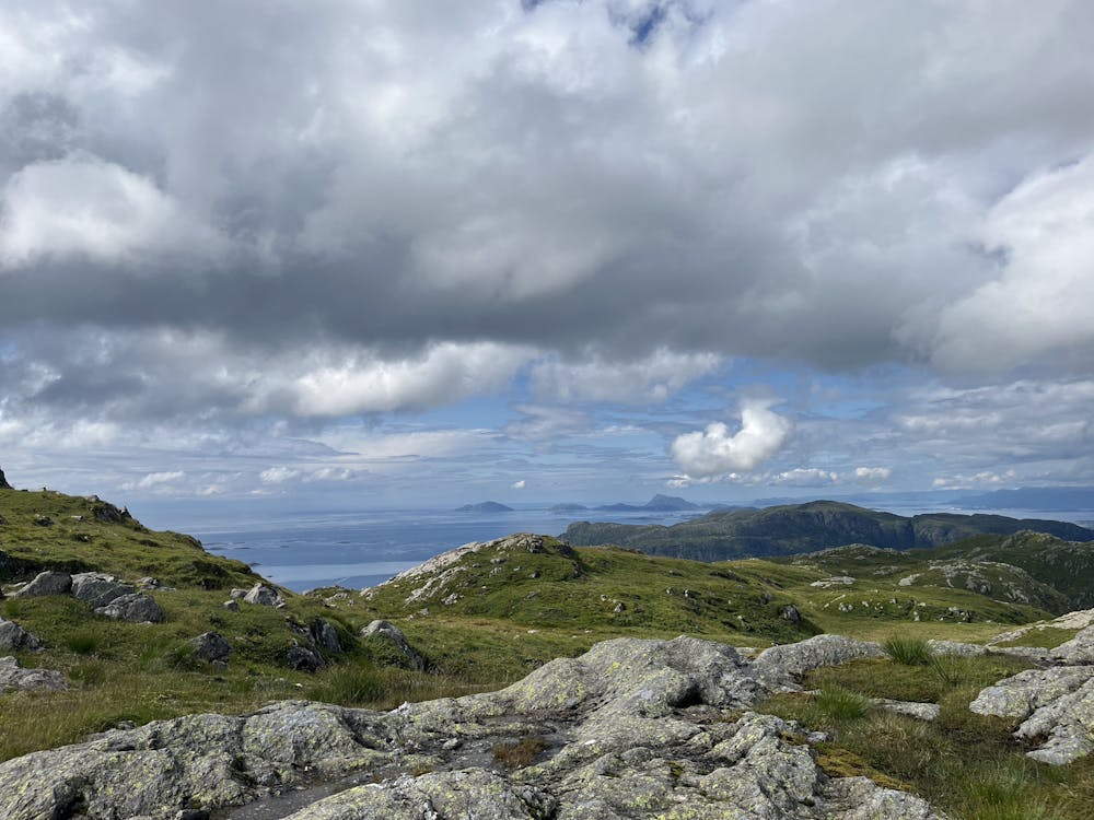
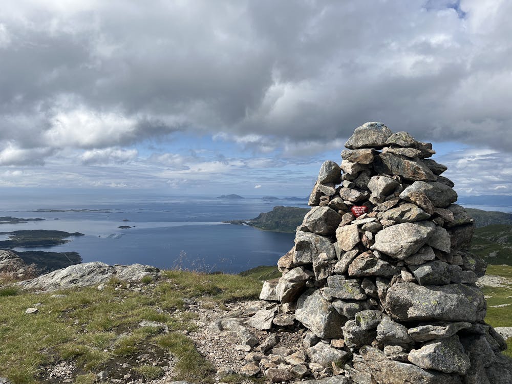
Nice afternoon climb to the Blåfjell at 537 meters above sea level.
Difficulty
Moderate
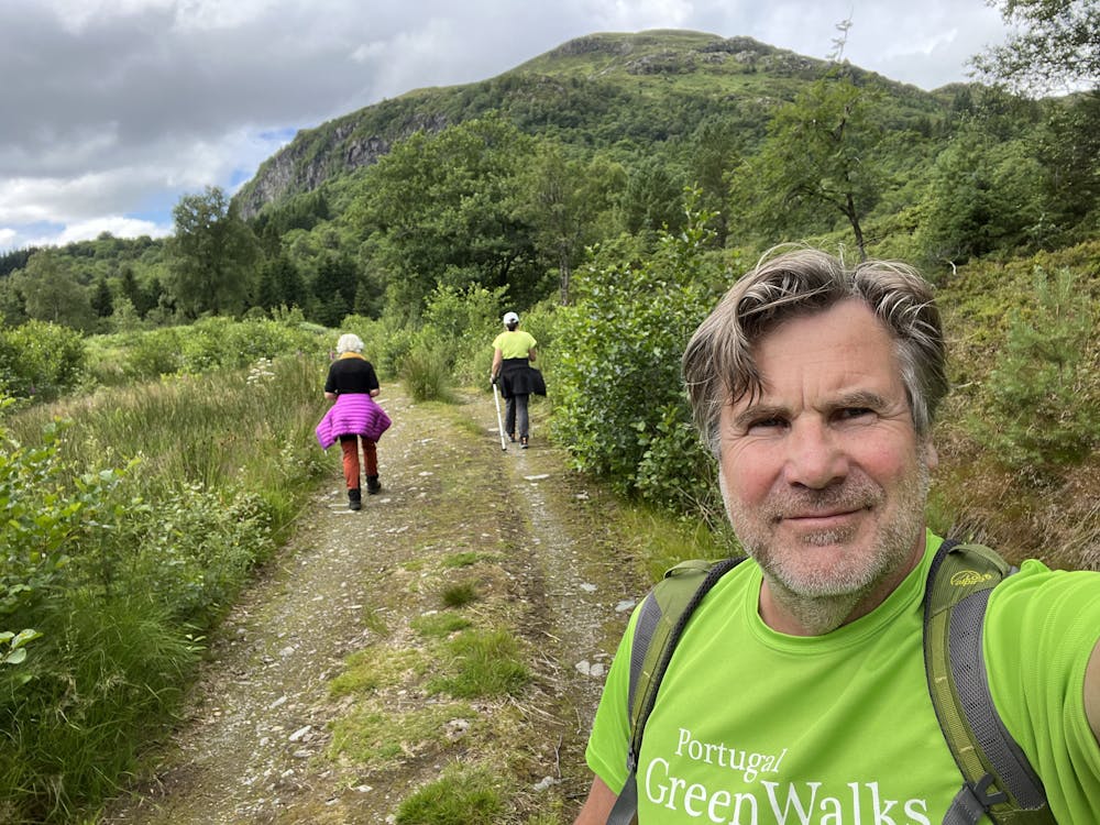
Hiking along trails with some uneven terrain and small hills. Small rocks and roots may be present.
Medium Exposure

The trail contains some obstacles such as outcroppings and rock which could cause injury.
Remoteness
Away from help but easily accessed.
Best time to visit
Features
- Picturesque
- Summit Hike
- Dog friendly
- Wild flowers
- Water features
- Forestry or heavy vegetation