The great Nærøyfjord tour - day 2
Day 2 of 2 on the complete route along the Nærøyfjord World Heritage fjord
Ski Touring Difficult
- Distance
- 35 km
- Ascent
- 2.8 km
- Descent
- 3.9 km
- Low Point
- 0 m
- High Point
- 1.8 km
- Gradient
- 29˚

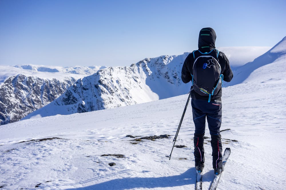
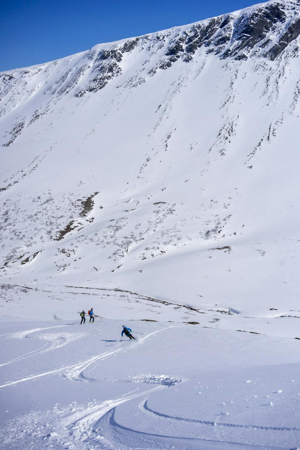
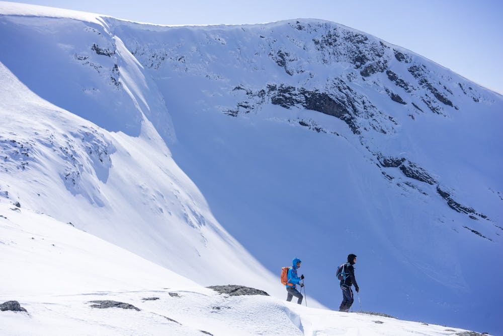
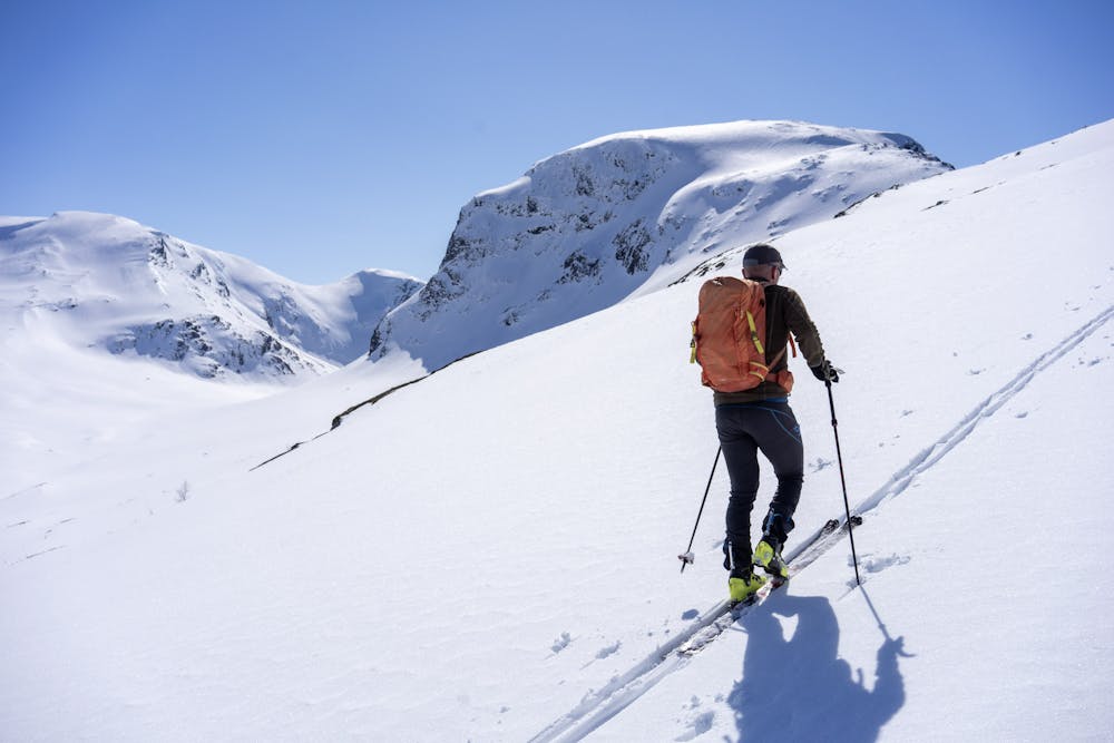
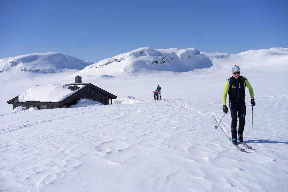
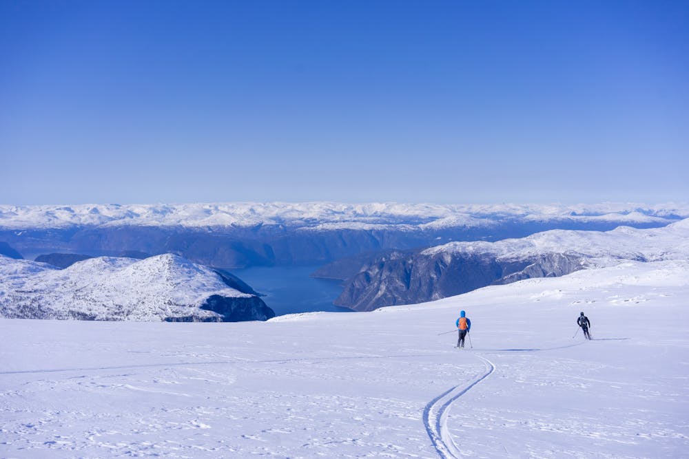
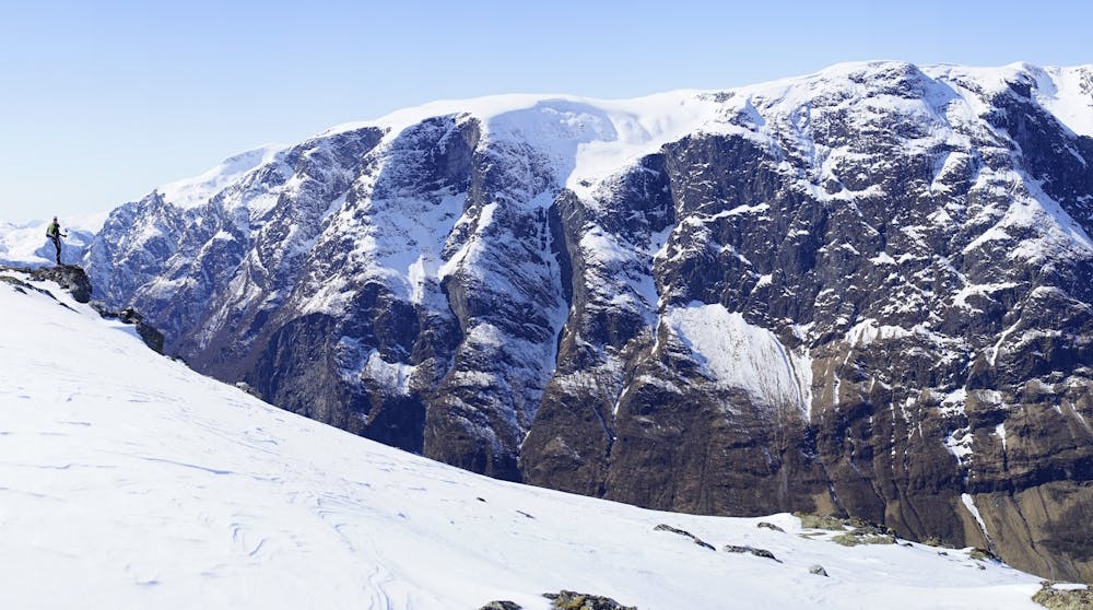
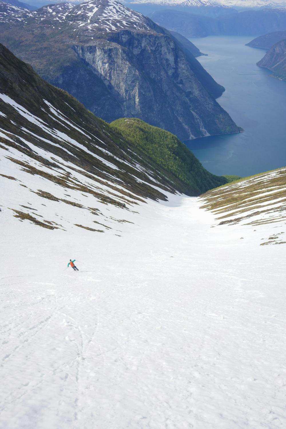
Starting the day from the Grindaflet mountain hut in an easy climb. This terrain gives you multiple option to choose the best peaks and downhills. The route chosen this day is somewhat affected by icy conditions. Many faces and couloirs to choose in particular around the remote Nisedal valley. The last descent from Stiganosi to Undredal has to be done with extreme caution. First there is a steep section from Grånosi to 1391 m.a.s.l. Then while booting on the trail the track passes a ledge with hanging icicles over at 600 m.a.s.l. The ice typically dropping in afternoon when melted. A good alternative is to descend to Stigen and get a pickup by boat.
- •
- •
- •
- •
- •
- •
- •
- •
Difficulty
Difficult
Serious gradient of 30-38 degrees where a real risk of slipping exists.
High Exposure (E3)

In case of a fall, death is highly likely.
Remoteness
Little chance of being seen or helped in case of an accident.
Best time to visit
Features
- Face
- Couloir
- Ski Mountaineering
Equipment required
- Skins