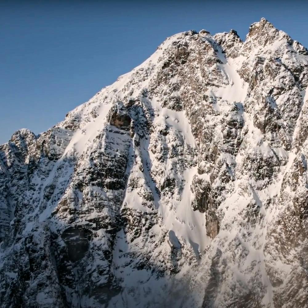
The Archlorch
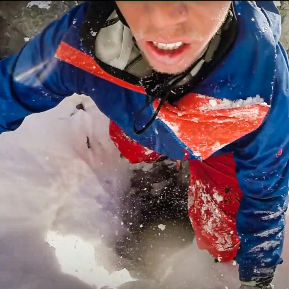
Myself and Samuel Anthamatten decided to attempt this line in Svalbard "the big line of our trip" whilst filming for Degrees North.
Freeride Skiing Extreme
- Distance
- 693 m
- Ascent
- 6 m
- Descent
- 595 m
- Low Point
- 688 m
- High Point
- 1.3 km
- Gradient
- 64˚

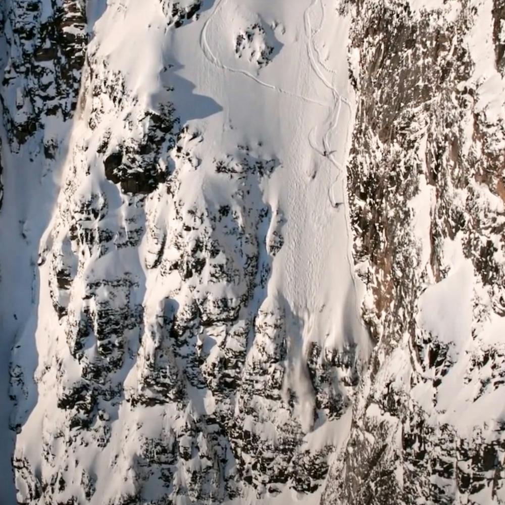
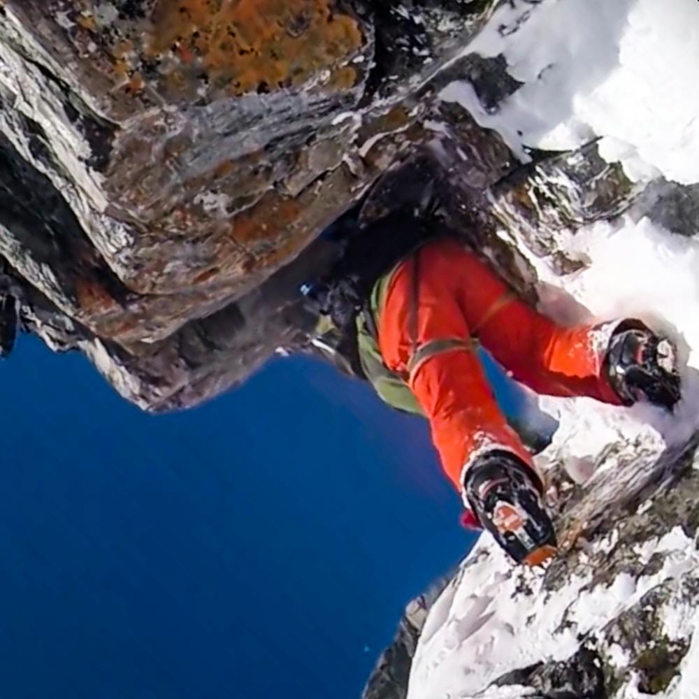
A pretty exposed line, that has a funny little hole/tunnel - giving the line its name!- that you have to wiggle through to pass through to the top part of the line.
- •
- •
- •
- •
- •
Description
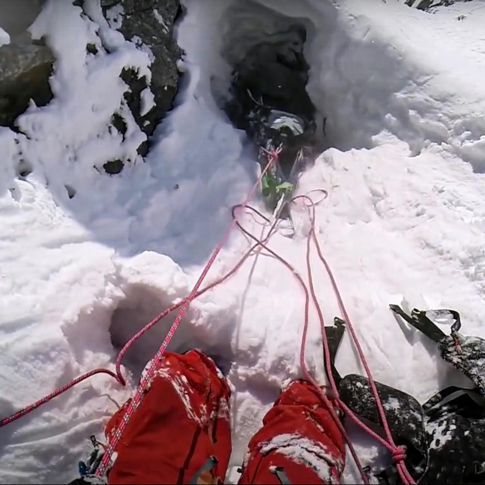
The line is pretty exposed at the top, and requires a rappel as well as a second rappel after the exposed middle section - then it is party time to the bottom! You can check it out in Degrees North: https://www.youtube.com/watch?v=yTsg16ERYNg
Difficulty
Extreme
Extreme skiing terrain above 45 degrees. These routes are reserved for experienced experts.
Extreme Exposure (E4)

In case of a fall, the skier faces certain death.
Remoteness
In the high mountains or remote conditions, all individuals must be completely autonomous in every situation.
Best time to visit
Features
- Cliffs
- Couloir
Equipment required
- Rope
- Ice axe
- Crampons