Fulgtinden
Lyngen
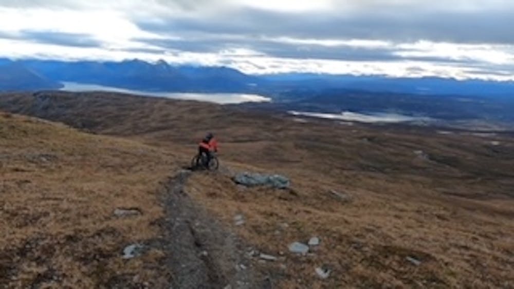
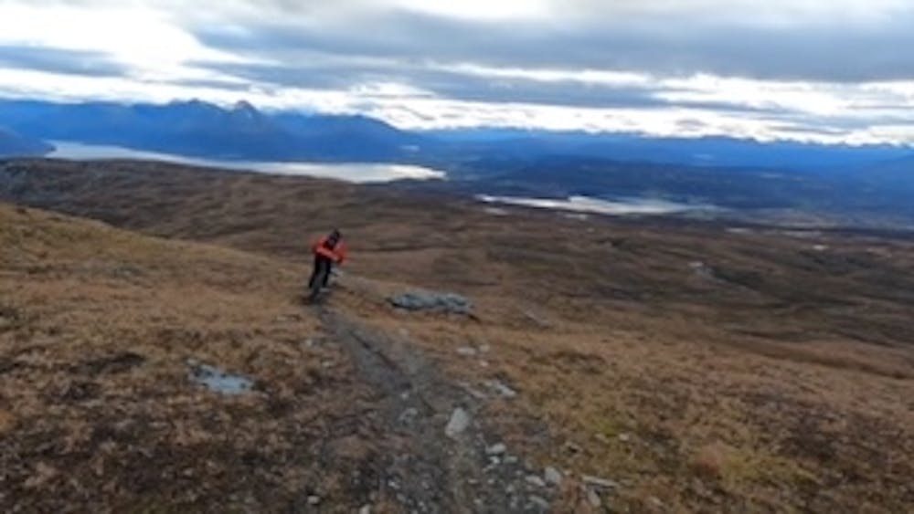
Single track on Fugltinden
Mountain Biking Difficult
- Distance
- 6.4 km
- Ascent
- 20 m
- Descent
- 948 m
- Duration
- 0-1 hrs
- Low Point
- 83 m
- High Point
- 1 km
- Gradient
- 15˚

To get to the start of the trail, you drive north of Storsteinnes about 11 km. Follow sign to "Sandøyra". There is possible to park before the road barrier.
- •
- •
- •
Description
When you have parked and going for the trail, you are following a gravel road about 1500 meters. Then take left on the trail.
Follow the trail on the south side of Storelvdalen. When you get over the three limit, you are crossing a stream and after a while turning north. And start climbing the last part on the backside. The trail will eventually be turning east.
Difficulty
Difficult
Mostly stable trail tread with some variability featuring larger and more unavoidable obstacles that may include, but not be limited to: bigger stones, roots, steps, and narrow curves. Compared to lower intermediate, technical difficulty is more advanced and grades of slopes are steeper. Ideal for upper intermediate riders.
Medium Exposure

The trail contains some obstacles such as outcroppings and rock which could cause injury.
Remoteness
Away from help but easily accessed.
Best time to visit
Features
- Technical
- Singletrack
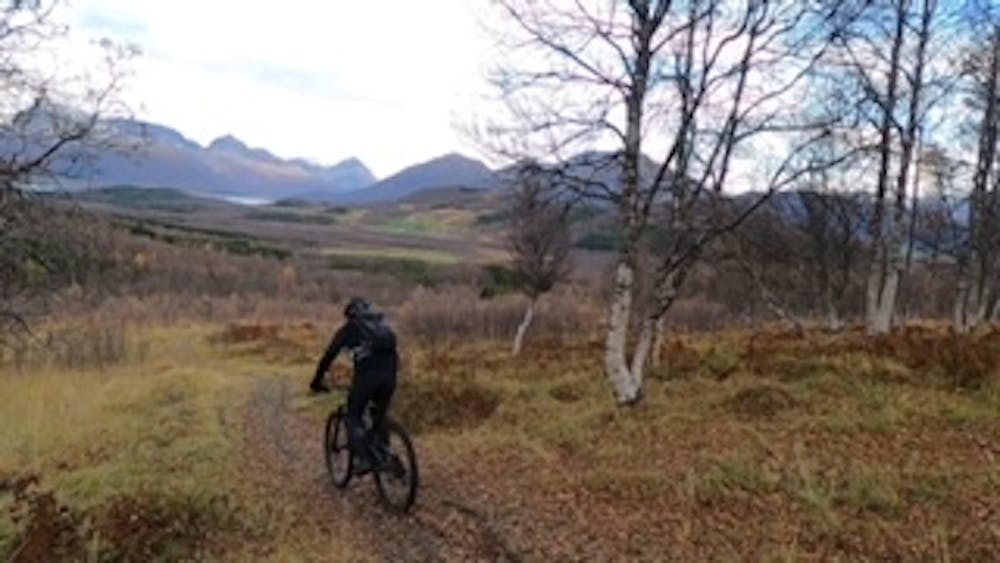
- In the forest
- Roots
- Rock Rolls
- Rock Slabs
- Wooden Feature