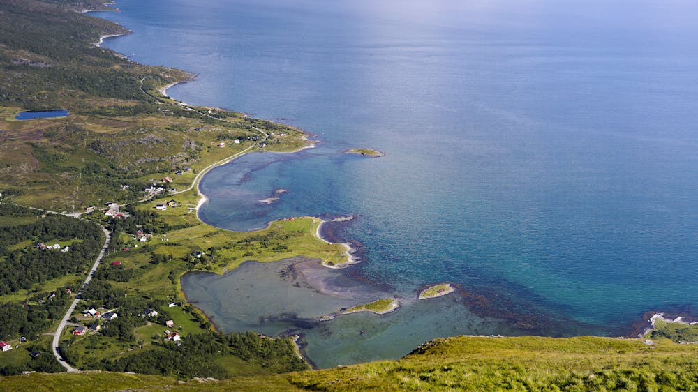
Gjøvarden
Lyngen
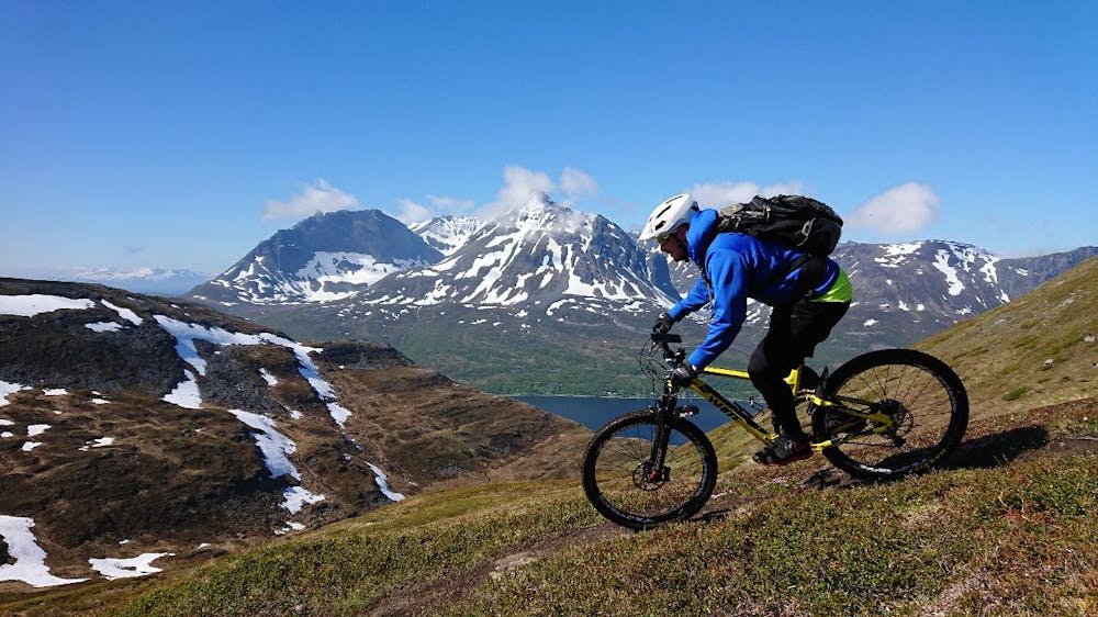
Mountainbike trip to Gjøvarden
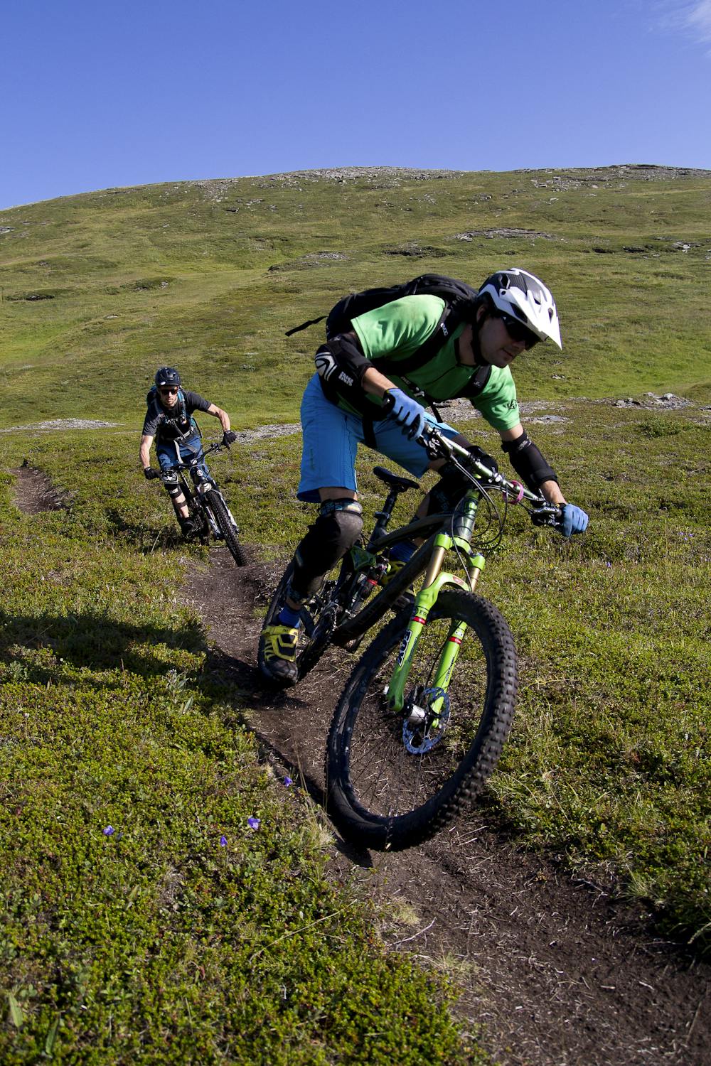
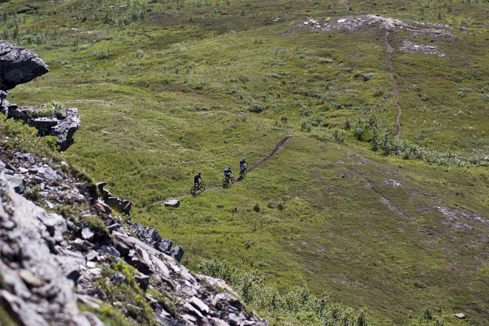
Mountain Biking Difficult
- Distance
- 2.4 km
- Ascent
- 0 m
- Descent
- 441 m
- Duration
- 0-1 hrs
- Low Point
- 62 m
- High Point
- 504 m
- Gradient
- 12˚
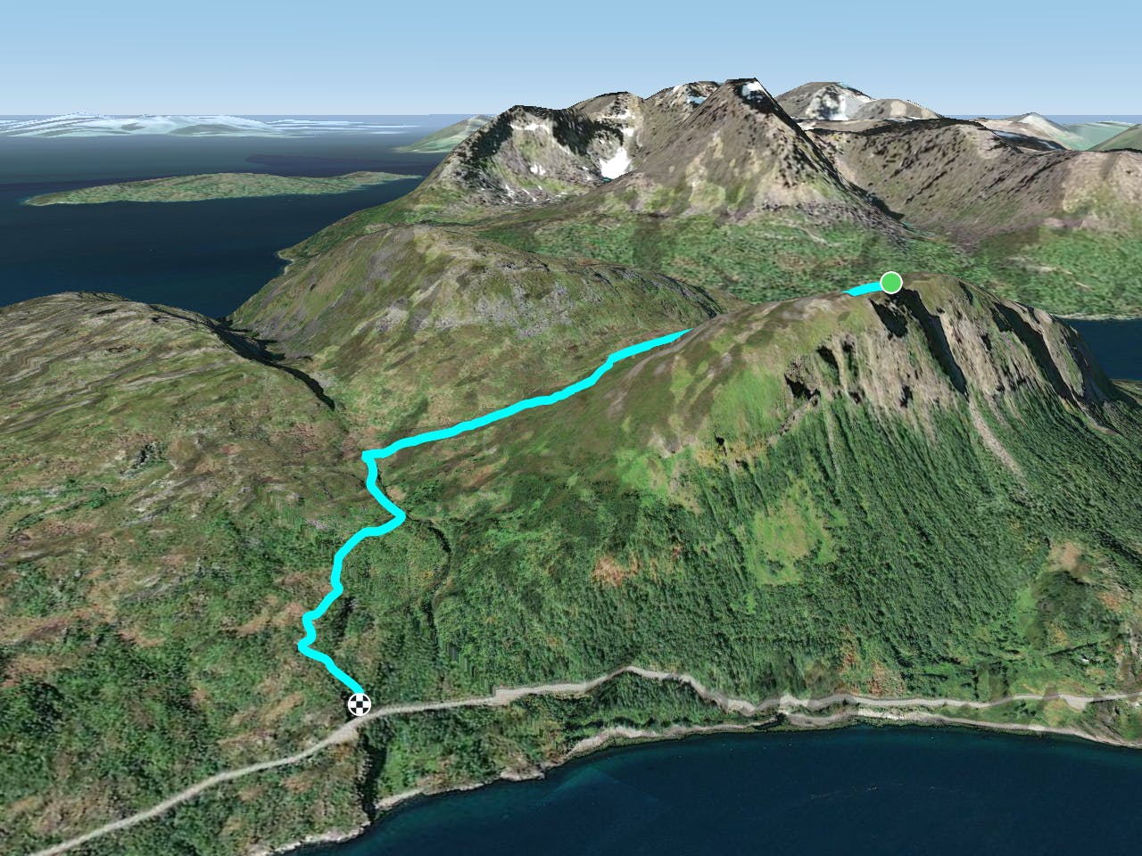
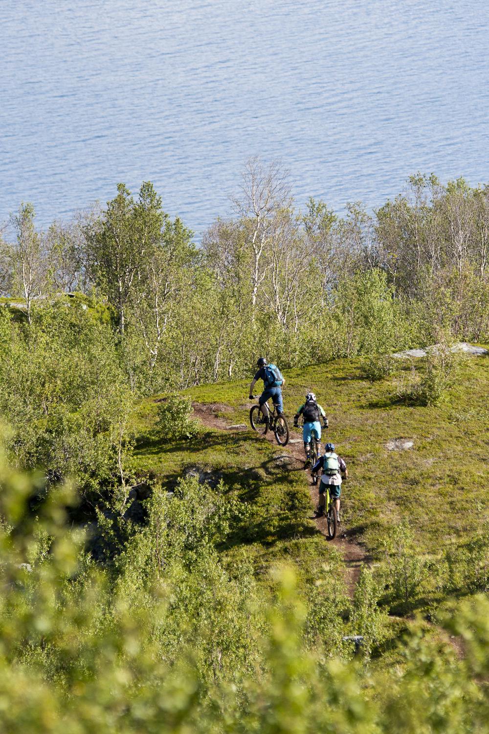
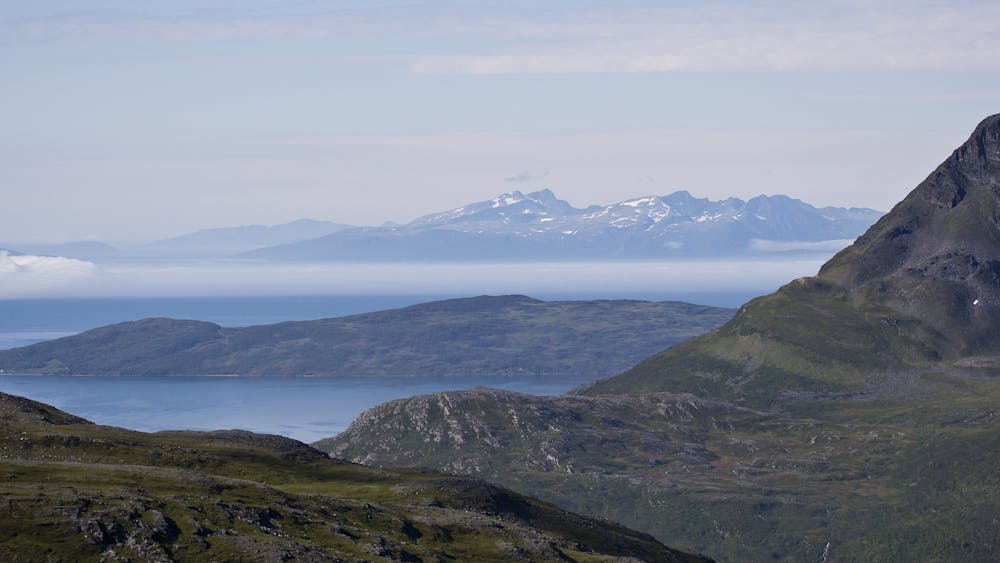
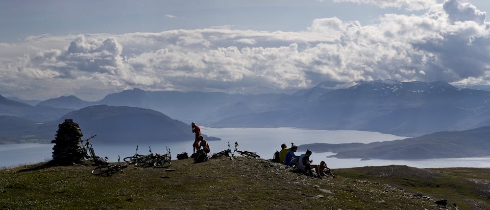
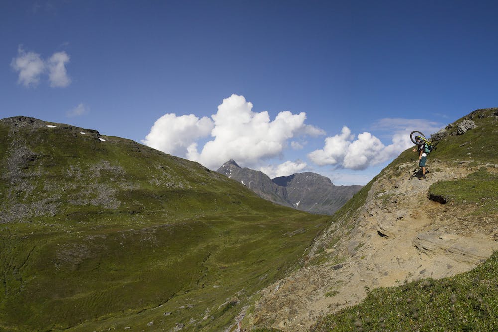
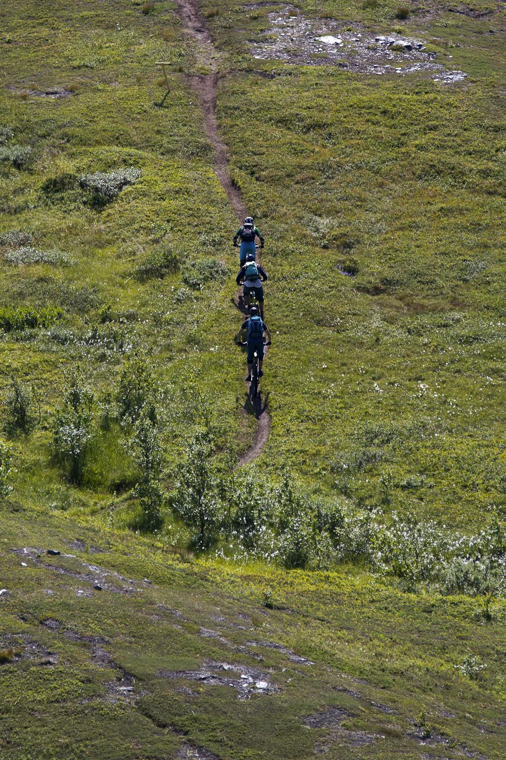
This is an authentic summit climb. It’s common to hike up in summer or ski up in winter, but it’s not so often you can ride up to a mountain summit by bike. Start this trail across the road from the car park by the Rakto river. The first 150 m is steep and often slippery. It may be easiest to carry your bike up this section. Follow the trail all the way up to 220 m above sea level then turn right towards the mountain Gjøvarden. The terrain is flatter where you turn but the trail gets steeper again after about 500 m. There is one step on this route, which is good to keep in mind when you are riding down. When you reach the shoulder of the mountain, you will see an impressive chute. Continue left to the top. Follow the same route down. The upper part of the ride is relatively steep, but the terrain is easy. Control your speed and avoid rear wheel lock braking. The steep section is followed by nice flowy sections with relaxed rolling. Remember the step about half way down and to turn onto the trail down to the car park. The last steep section will challenge your riding skills one more time. !

- •
- •
- •
- •
- •
- •
- •
- •
- •
- •
Difficulty
Difficult
Mostly stable trail tread with some variability featuring larger and more unavoidable obstacles that may include, but not be limited to: bigger stones, roots, steps, and narrow curves. Compared to lower intermediate, technical difficulty is more advanced and grades of slopes are steeper. Ideal for upper intermediate riders.
Medium Exposure

The trail contains some obstacles such as outcroppings and rock which could cause injury.
Remoteness

Close to help in case of emergency.
Best time to visit
Features
- Flow
- Technical
- Picturesque
- Singletrack