Mannfjellaksla
Lyngen
Flowy trail with great views
Mountain Biking Moderate
- Distance
- 8.8 km
- Ascent
- 559 m
- Descent
- 559 m
- Duration
- 1-2 hrs
- Low Point
- 87 m
- High Point
- 582 m
- Gradient
- 14˚

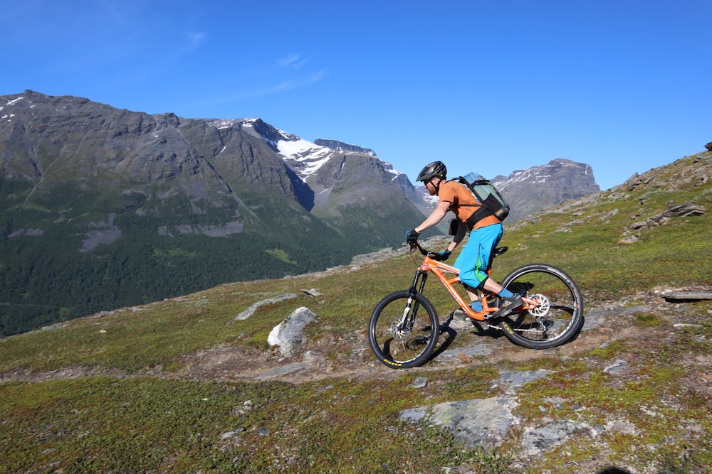
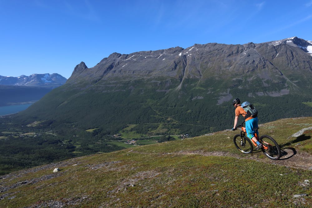
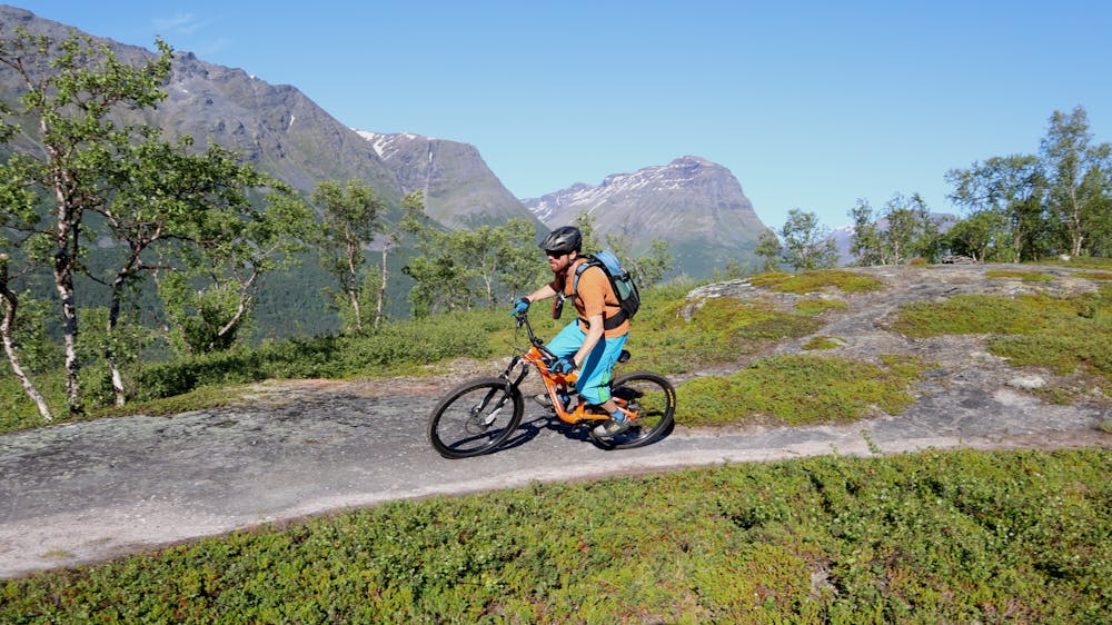
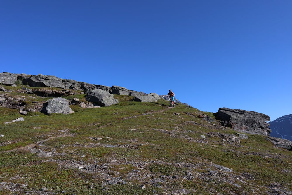
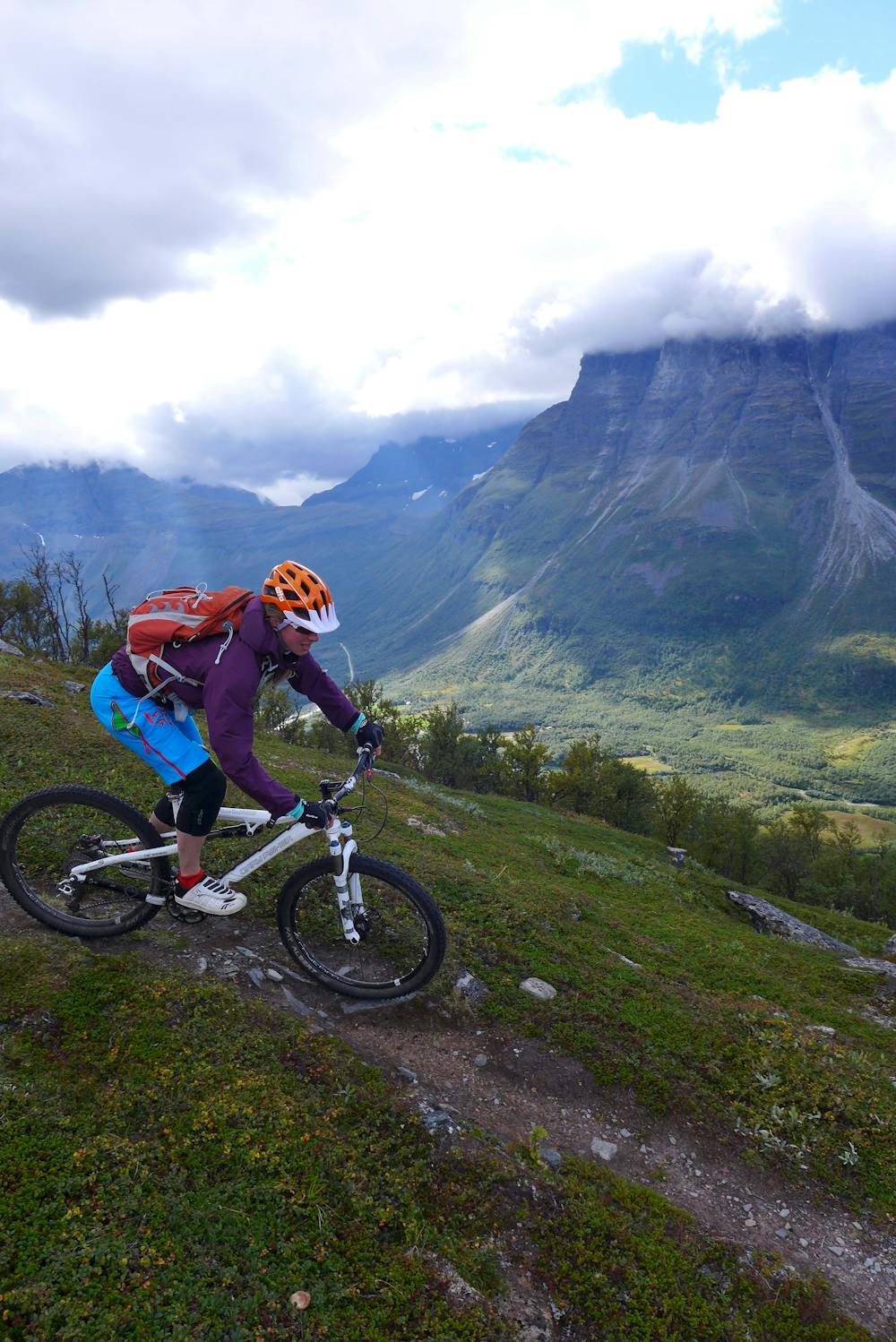
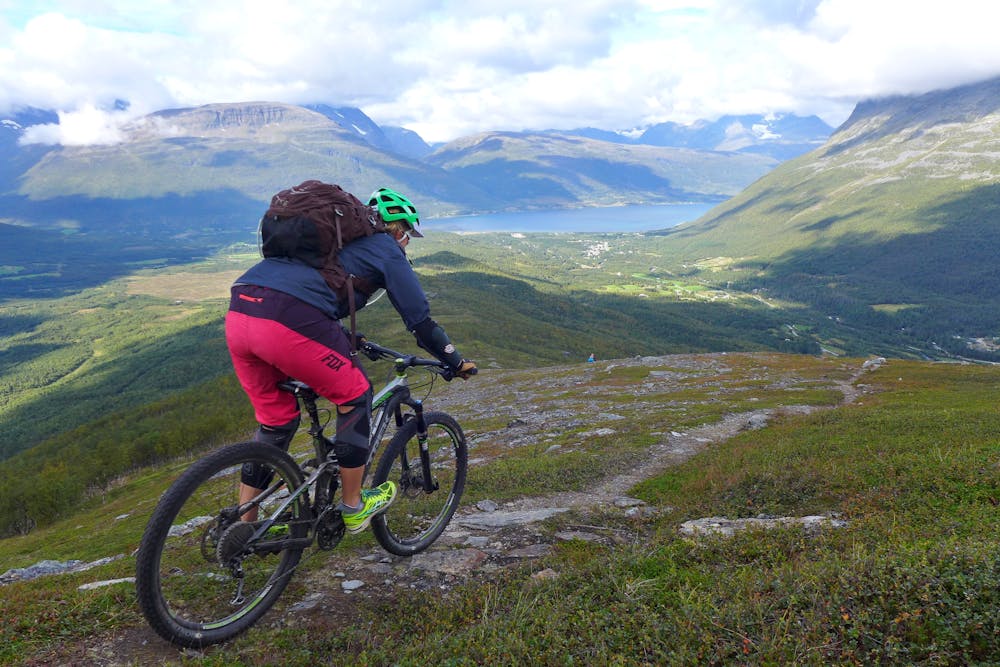
The Manndalsaksla trail goes to a ridge on the mountain Mannfjellet. The route leads through a Nordic pine forest up to very scenic open area with views of Hattefjellet, the majestic peak Otertinden and the Storfjord. Start by following the forest road towards the ridge. After 100 m turn left and enter the trail into the pine forest. The trail is marked with red paint on the trees. The upper section is not marked, but the trail is clear and easy to follow. It’s possible to ride most of the way up through the forest and there are duckboards over the swamps. The upper part of the trail gets a bit steeper and for most bikers it’s easier to walk up. Follow the same route down. The trail has some short steep steps and loose gravel spots that are graded S2, but this is mostly a natural flowy and playful S1 trail. Tip: In the autumn it’s possible to find tasty blueberries and lingonberries right beside the trail.
- •
- •
- •
- •
- •
- •
Difficulty
Moderate
Mostly stable trail tread with some variability, with unavoidable obstacles 8in/20cm tall or less. Other obstacles such as rock gullies and steep sections may exist. Ideal for lower intermediate riders.
Medium Exposure

The trail contains some obstacles such as outcroppings and rock which could cause injury.
Remoteness
Away from help but easily accessed.
Best time to visit
Features
- Flow
- Hike a bike
- Picturesque
- Singletrack
- Roots