Nordlenangsåsen
Lyngen
Easy trail in Nord-Lenangen
Mountain Biking Moderate
- Distance
- 4.1 km
- Ascent
- 184 m
- Descent
- 189 m
- Duration
- 0-1 hrs
- Low Point
- 7 m
- High Point
- 161 m
- Gradient
- 14˚

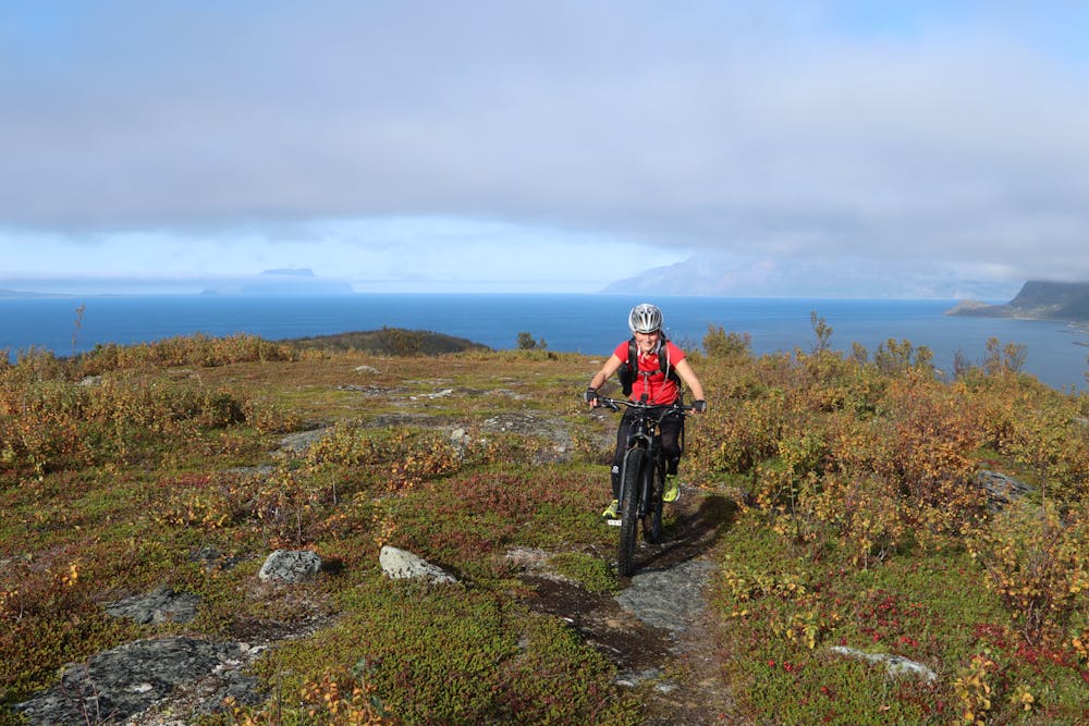
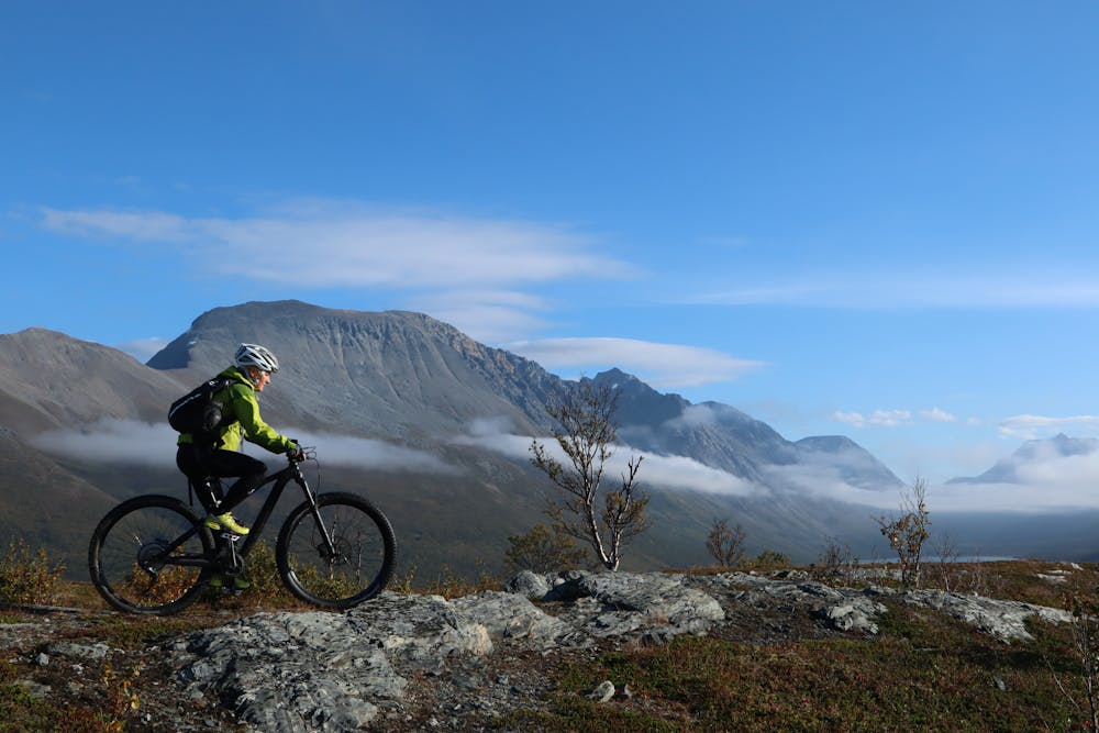
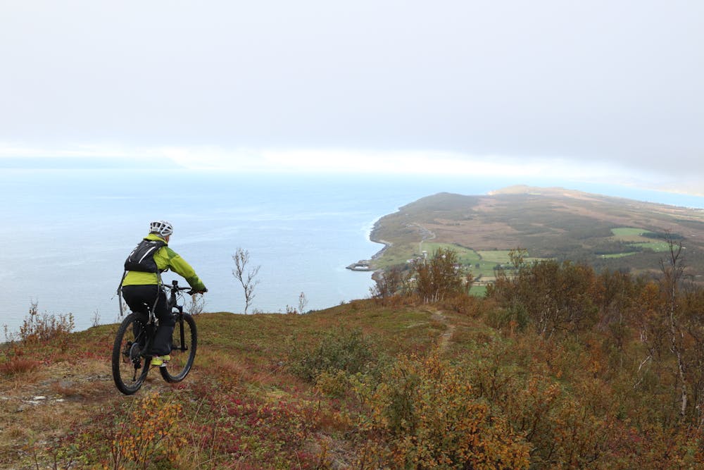
This is the easiest trail in Lyngen. It takes you up to an open landscape with views of the fjord on both sides and steep mountains in the background.
Start the trip from the gravel pit and follow the steep forest road uphill. After a while, this narrows into a trail. The upper plateau offers relaxing single trail riding.
The trail disappears briefly about half way. It’s a good idea to follow the slickrock ridges until the trail reappears. The northern highest point marks the start of a flowy single trail down to Slettvoll. It’s narrow but mostly easy to ride. There are couple of short steeper sections. The lower section has some water erosion damage that demands more attention when riding.
We recommend returning the same way and enjoying the view in the opposite direction and the trail down to Koppmolsenet.
The alternative is to ride 4 km on the road. The route down from the southern highest point is an S1 graded trail.
The final part of the trail is quite steep, but wide.
! You may meet horses on this trail.
! Not recommended to ride this trail 1.5. - 30.6.
- •
- •
- •
Difficulty
Moderate
Mostly stable trail tread with some variability, with unavoidable obstacles 8in/20cm tall or less. Other obstacles such as rock gullies and steep sections may exist. Ideal for lower intermediate riders.
Low Exposure

The path is on completely flat land and potential injury is limited to falling over.
Remoteness
Close to help in case of emergency.
Best time to visit
Features
- Flow
- Singletrack
- In the forest