Sarafossen
Visit the spectacular Sarafossen waterfall
Mountain Biking Moderate
- Distance
- 4.9 km
- Ascent
- 227 m
- Descent
- 233 m
- Duration
- 0-1 hrs
- Low Point
- 104 m
- High Point
- 307 m
- Gradient
- 10˚

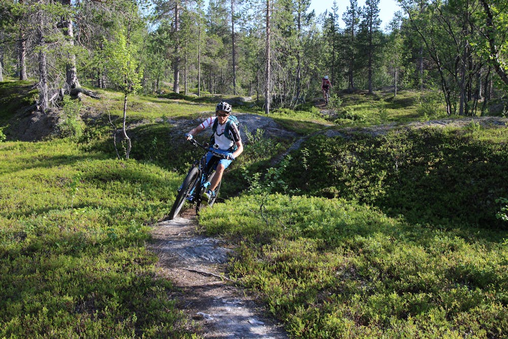
The Sara trail is a beautiful ride on natural trails near Reisa National Park. The route goes through the northern boreal forest. Even the drive up the valley is a unique experience with breathtaking mountain views. There are two options for completing this trip. You can either ride up and down the same way or ride a traverse on the gravel road to the start of the steeper path up to the spectacular Sarafossen waterfall. If you choose the latter, you will need to push your bike more, but you will get straight to the viewpoint. Regardless of which option you choose, the trails are clear and easy to follow. The route down is high quality natural single trail riding. In the upper part, you need to cross a small swamp. There are also couple of steps and short technical sections during the ride that you need to be aware of. The rest is pure flow and play.
Description
It’s also possible to ride down the trail on the north-eastern side. We estimate the level of difficulty for this route as S3.
Tip: You can get to the top of the waterfall from the highest point.
Difficulty
Moderate
Mostly stable trail tread with some variability, with unavoidable obstacles 8in/20cm tall or less. Other obstacles such as rock gullies and steep sections may exist. Ideal for lower intermediate riders.
Medium Exposure

The trail contains some obstacles such as outcroppings and rock which could cause injury.
Remoteness
Away from help but easily accessed.
Best time to visit
Features
- Flow
- Hike a bike
- Picturesque
- Singletrack
- In the forest