E8 Overgård to Oteren tree skiing
Lyngen
A large area of nicely spaced trees which are not threatened by avalanche and therefore suitable for high avalanche risk/low visibility days.
Ski Touring Moderate
- Distance
- 2 km
- Ascent
- 322 m
- Descent
- 323 m
- Duration
- 1-2 hrs
- Low Point
- 94 m
- High Point
- 412 m
- Gradient
- 38˚

Much as we'd all like the weather and conditions to be perfect every day, they sadly aren't. As such, it's good to have a few ideas up your sleeve to salvage a ski day when the weather is bad or avalanche risk is making the higher peaks too dangerous.
- •
- •
Description
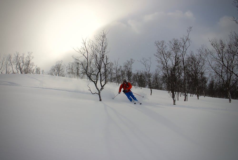
This area of trees, on the E8 between Overgård and Oteren is one such place. These trees are largely sheltered from possible avalanches coming down and nicely spaced for skiing.
The line shown here is merely to indicate the vague area you're aiming for rather than a specific route suggestion.
The further north you go past the line here, the safer the terrain becomes. If you ski south of the line shown there is some steep ground above you which could cause problems on high avalanche risk days.
This is a popular area with frustrated ski tourers desperate to get some skiing in despite the conditions, so there skiing here has the added bonus that you're unlikely to need to break trail!
Difficulty
Moderate
Slopes become slightly steeper at around 25-30 degrees.
Low Exposure (E1)

Exposure is limited to that of the slope itself. Getting hurt is still likely if the slope is steep and/or the snow is hard.
Remoteness

Little chance of being seen or helped in case of an accident.
Best time to visit
Features
- Tree Skiing
Equipment required
- Skins