1.5 km away
Langdaltinden (928m)
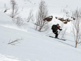
A hidden pearl for an afternoon tour which offers great skiing
Moderate Ski Touring
- Distance
- 5.5 km
- Ascent
- 902 m
- Descent
- 902 m
Ski Mountanering from Andorra Team 2022
Ski Touring Easy

This is a popular ski touring route which is generally considered to be easy. It's not remote, it features low exposure (e1) and is typically done between December and April. From a low point of 23 m to the maximum altitude of 1.1 km, the route covers 19 km, 1520 vertical metres of ascent and 1521 vertical metres of descent. It's graded 3.3 and Labande grade 1. You'll need skins to complete it safely.
Skimo
Easy
Wide gentle slopes at around 20 degrees or less.

Exposure is limited to that of the slope itself. Getting hurt is still likely if the slope is steep and/or the snow is hard.
Close to help in case of emergency.
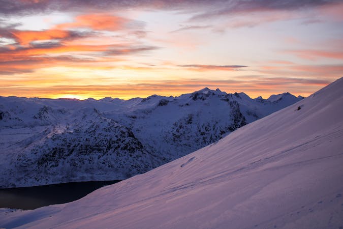
1.5 km away
A hidden pearl for an afternoon tour which offers great skiing
Moderate Ski Touring
10 routes · Ski Touring