3.6 km away
Langdaltinden (928m)
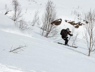
A hidden pearl for an afternoon tour which offers great skiing
Moderate Ski Touring
- Distance
- 5.5 km
- Ascent
- 902 m
- Descent
- 902 m
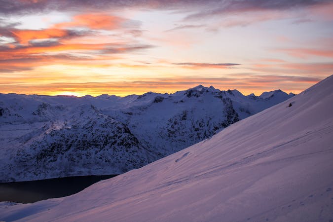
If all other peaks seems horrifying in Lyngen Alps
Ski Touring Easy

When arriving in Lyngen Alps with a dream to ski I instantly realized my skiing ability is not fit for the intimidating terrain in the area. While living in Lyngen I will try to look and publish beautiful smooth non avalanche terrain routes.
For this route the parking is available at small pockets next to the road.
Overall the climb is not steep therefore avalanche risk is very low. Only be careful going too close to the east side of the ridge due to probability of wind slabs.
The mountain top will greet you with remarkable view and decent cairn with guestbook so you can log your trip and say something inspiring to others.
Easy
Wide gentle slopes at around 20 degrees or less.

Exposure is limited to that of the slope itself. Getting hurt is still likely if the slope is steep and/or the snow is hard.

Away from help but easily accessed.
3.6 km away
A hidden pearl for an afternoon tour which offers great skiing
Moderate Ski Touring
10 routes · Ski Touring