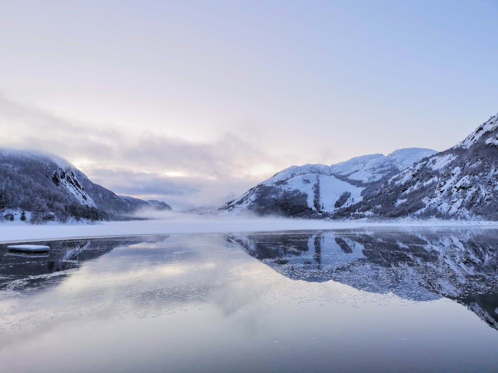
Bjørnestad 2
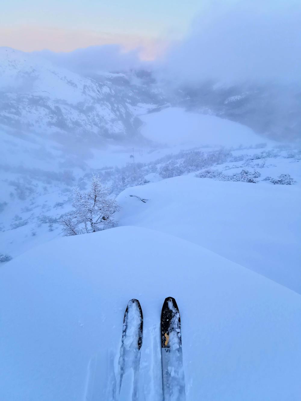
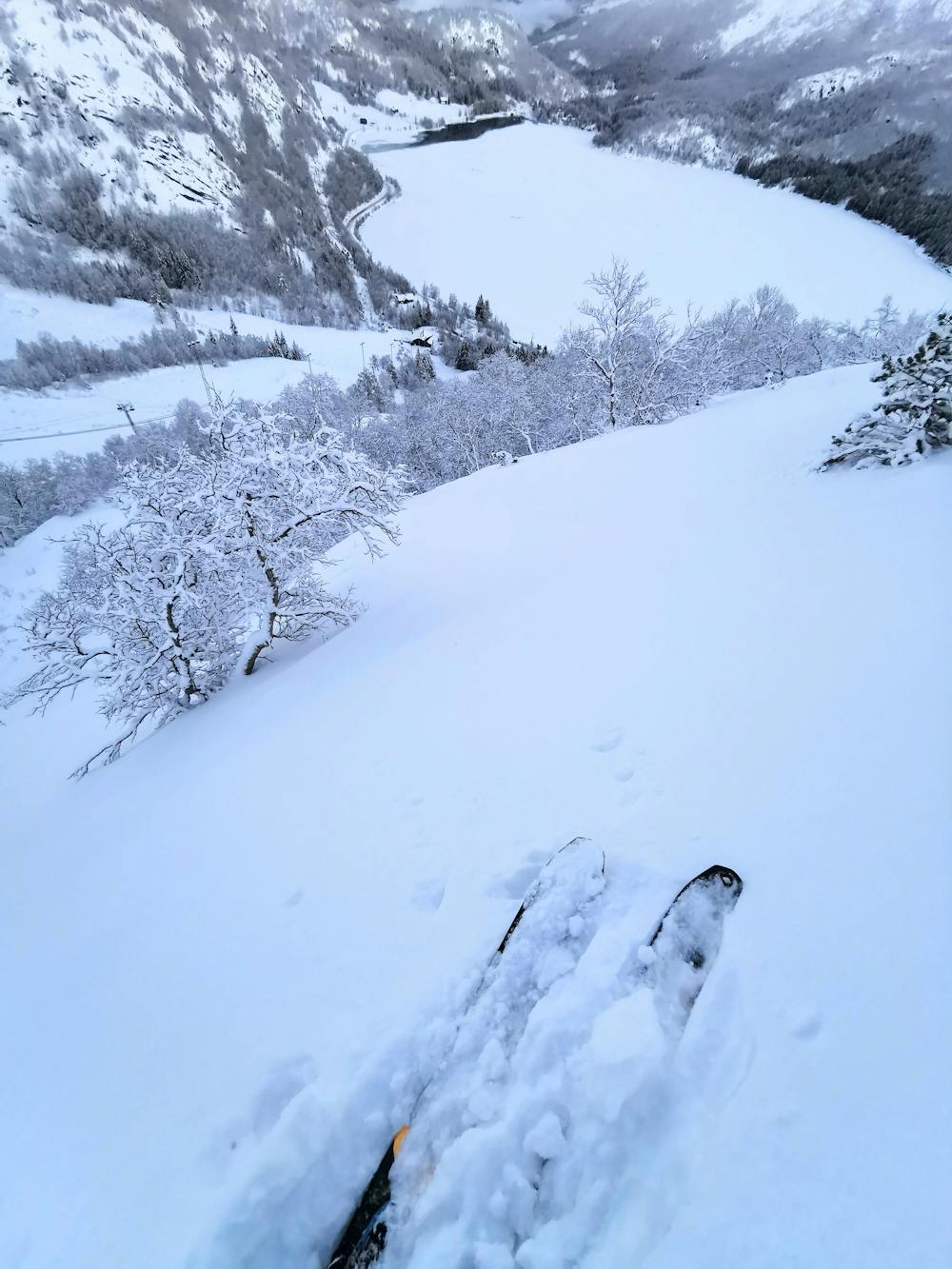
Awesome line with trees and steep skiing!
Freeride Skiing Moderate
- Distance
- 1.1 km
- Ascent
- 1 m
- Descent
- 293 m
- Low Point
- 366 m
- High Point
- 659 m
- Gradient
- 25˚

This is a popular freeride skiing route which is generally considered to be moderate. It's not remote, it features medium exposure (e2) and is typically done between January and March. From a low point of 366 m to the maximum altitude of 659 m, the route covers 1.1 km, 1 vertical metres of ascent and 293 vertical metres of descent. It's graded 3.2 and Labande grade 4. You'll need skins to complete it safely.
- •
- •
- •
- •
- •
Description
Fun shredding down Bjørnestad. Be aware of trees and some 40-45 degree sections.
Difficulty
Moderate
Slopes become slightly steeper at around 25-30 degrees.
Medium Exposure (E2)

As well as the slope itself, there are some obstacles (such as rock outcrops) which could aggravate injury.
Remoteness

Close to help in case of emergency.
Best time to visit
Features
- Face
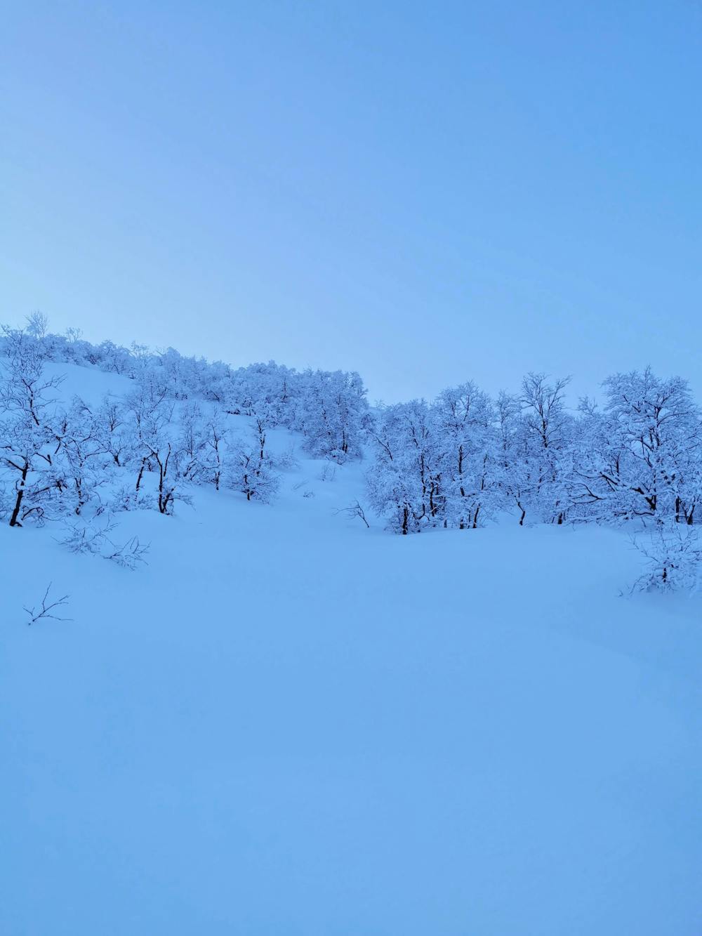
- Trees
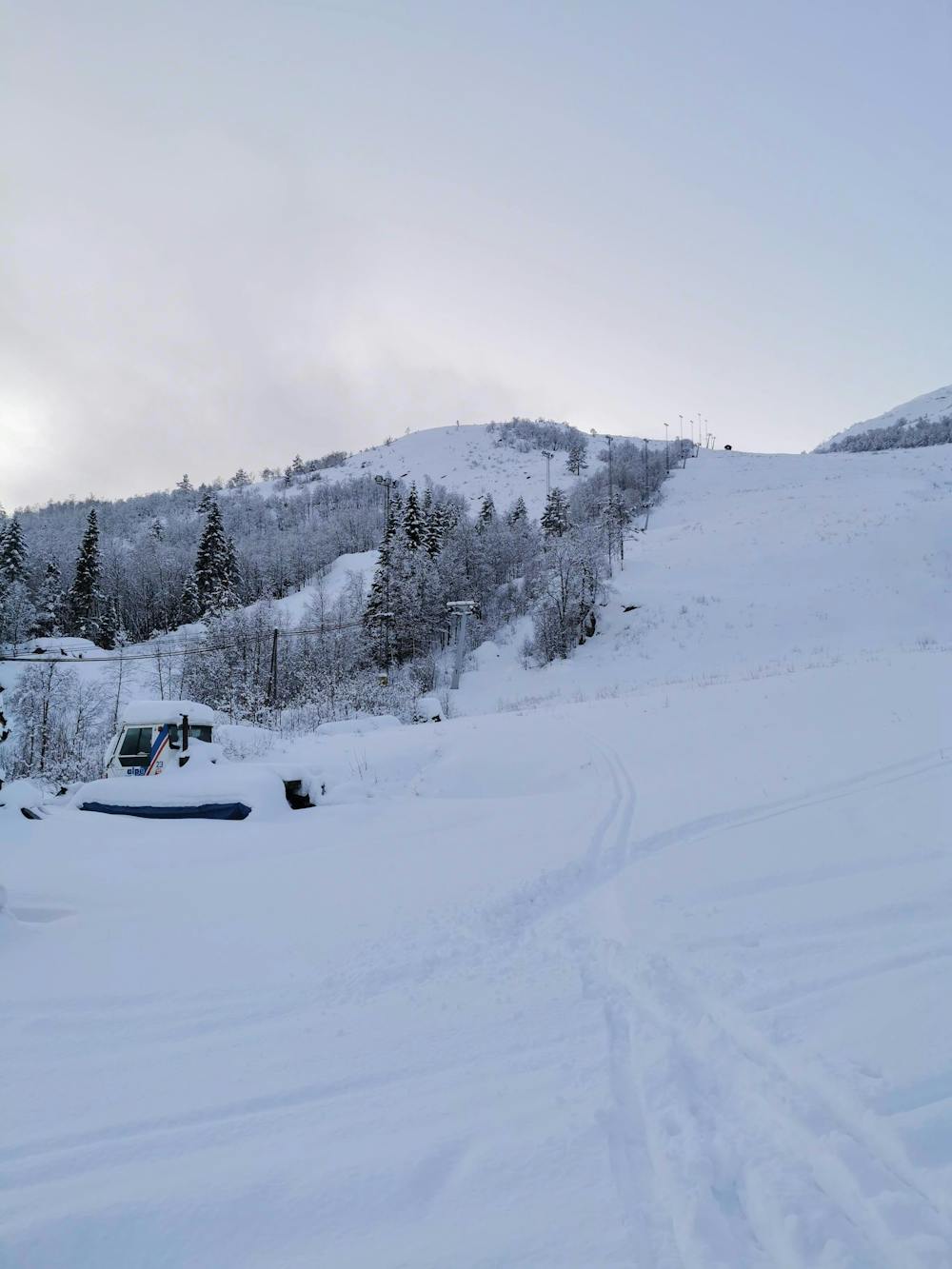
- Walk Required
Equipment required
- Skins