Bergeheia, 621m
Short and steep hike with very nice view
Hiking Difficult
- Distance
- 4.8 km
- Ascent
- 498 m
- Descent
- 498 m
- Duration
- 1-2 hrs
- Low Point
- 142 m
- High Point
- 574 m
- Gradient
- 17˚

This is a popular hiking route which is generally considered to be difficult. It's very remote, it features high exposure and is typically done between May and September. From a low point of 142 m to the maximum altitude of 574 m, the route covers 4.8 km, 498 vertical metres of ascent and 498 vertical metres of descent.
- •
- •
Description
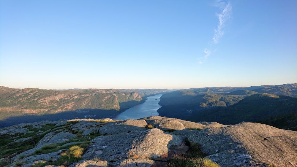
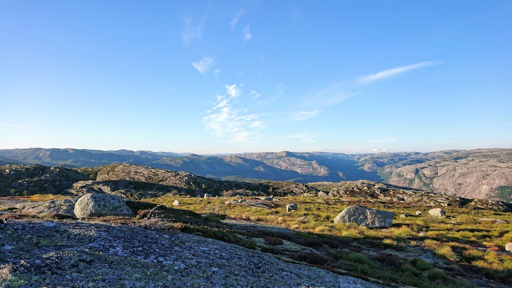
Ther is a lot of slippery vegetation and roots up the last climb. Other than that, the trail goes on gravel road. Very nice view of the lake, on the summit.
Difficulty
Difficult
Hiking trails where obstacles such as rocks or roots are prevalent. Some obstacles can require care to step over or around. At times, the trail can be worn and eroded. The grade of the trail is generally quite steep, and can often lead to strenuous hiking.
High Exposure

Some trail sections have exposed ledges or steep ascents/descents where falling could cause serious injury.
Remoteness
Little chance of being seen or helped in case of an accident.
Best time to visit
Features
- Wildlife
- Picturesque
- Summit Hike
- Forestry or heavy vegetation