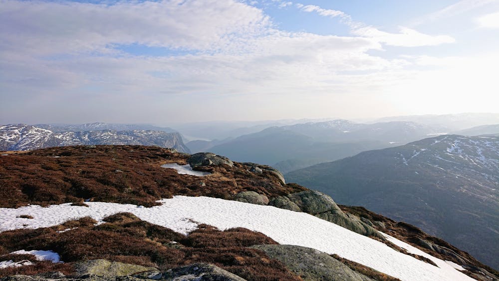
Hest, 819m
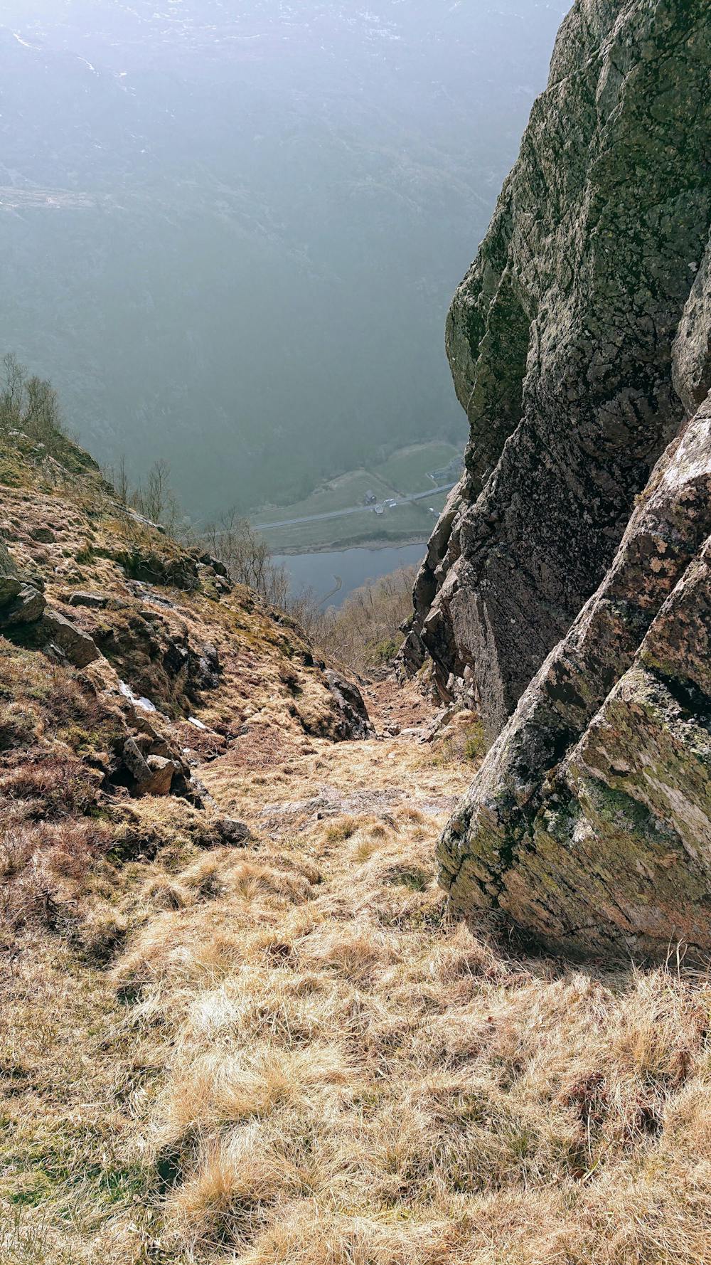
Challenging scrambling up near vertical wall
Hiking Extreme
- Distance
- 5.2 km
- Ascent
- 613 m
- Descent
- 613 m
- Duration
- 2-3 hrs
- Low Point
- 223 m
- High Point
- 811 m
- Gradient
- 17˚

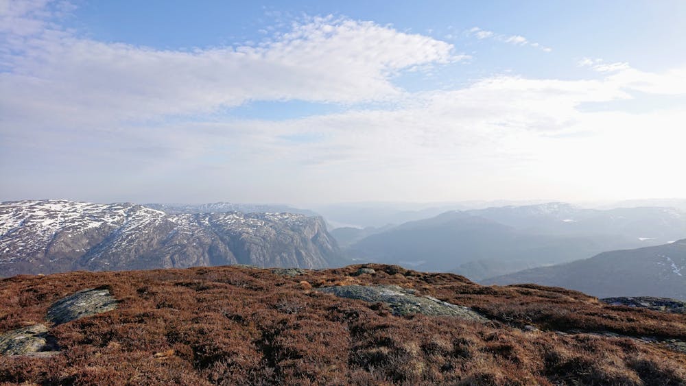
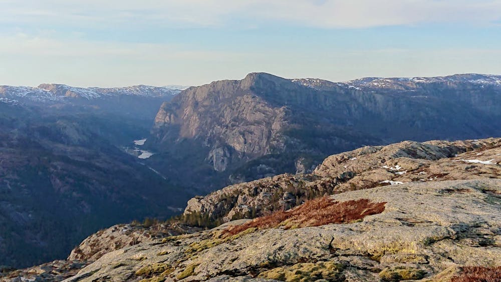
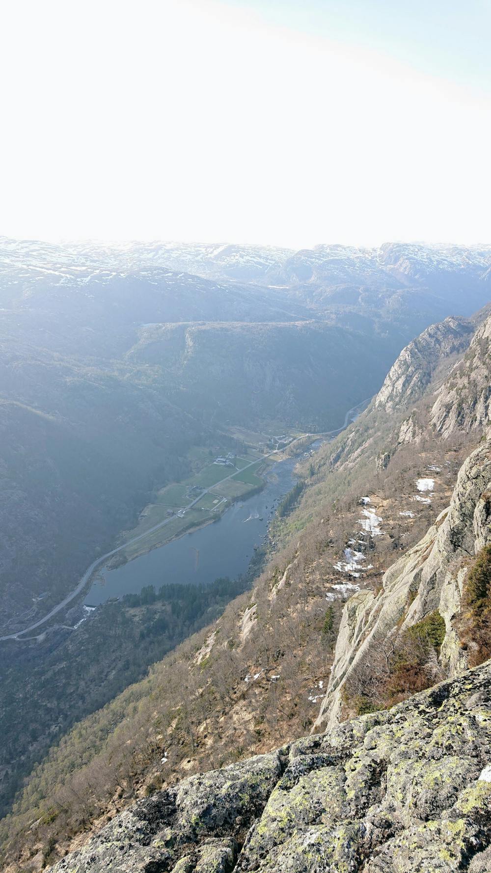
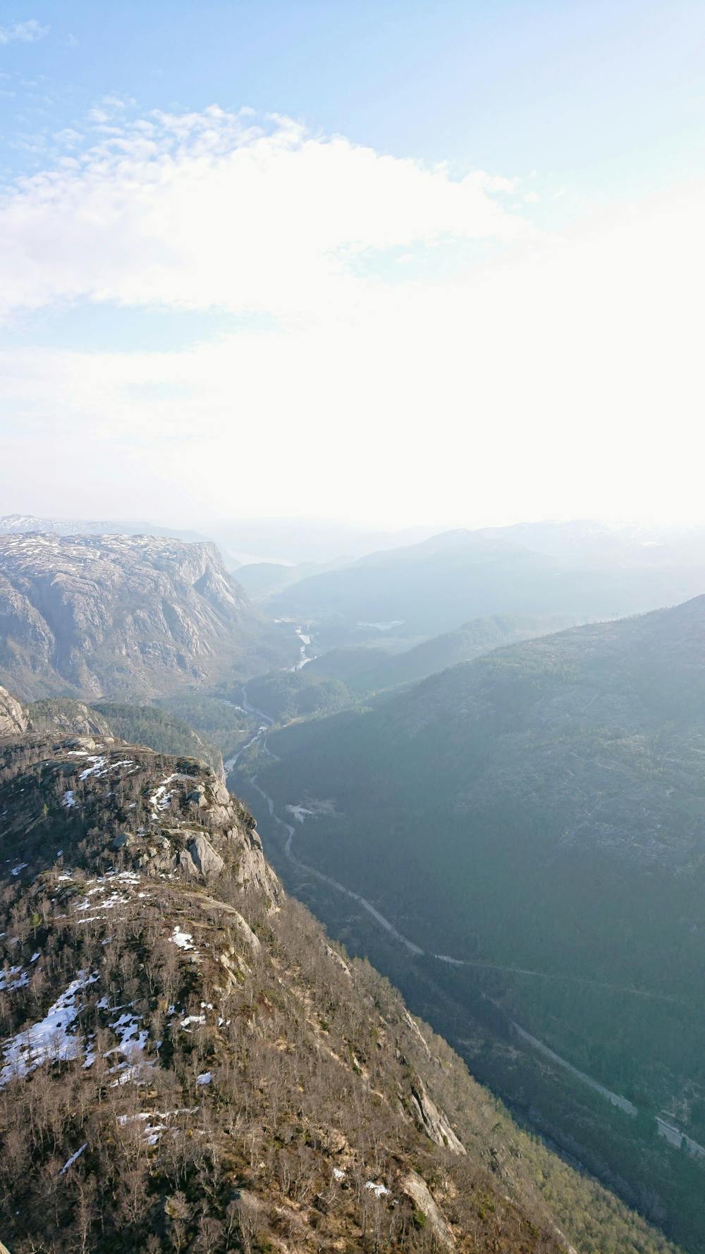
No real path and poor markings due to very little use. Most parts of the hike are very steep with lose rocks and slippery vegetation. Do not try this unless you know what you are doing. If you do this hike, let somebody know. The summit has a very rewarding 360 view of the surroundings.
- •
- •
- •
- •
- •
- •
Difficulty
Extreme
Scrambling up mountains and along technical trails with moderate fall exposure. Handholds are necessary to navigate the trail in its entirety, although they are not necessary at all times. Some obstacles can be very large and difficult to navigate, and the grades can often be near-vertical. The challenge of the trail and the steepness of the grade results in very strenuous hiking. Hikes of this difficulty blur the lines between "hiking" and "climbing".
Extreme Exposure

Some trail sections are extremely exposed where falling will almost certainly result in serious injury or death.
Remoteness

Little chance of being seen or helped in case of an accident.
Best time to visit
Features
- Alpine
- Wildlife
- Picturesque
- Summit Hike
- Forestry or heavy vegetation