Hilleknuten, 1209m
Hinking the highest peak in the area
Hiking Moderate
- Distance
- 6.8 km
- Ascent
- 561 m
- Descent
- 559 m
- Duration
- 2-3 hrs
- Low Point
- 637 m
- High Point
- 1.2 km
- Gradient
- 14˚

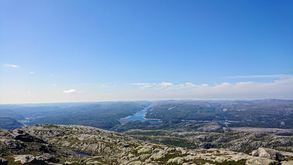
This is a popular hiking route which is generally considered to be moderate. It's remote, it features medium exposure and is typically done between June and September. From a low point of 637 m to the maximum altitude of 1.2 km, the route covers 6.8 km, 561 vertical metres of ascent and 559 vertical metres of descent.
- •
- •
- •
Description
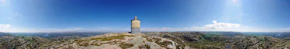
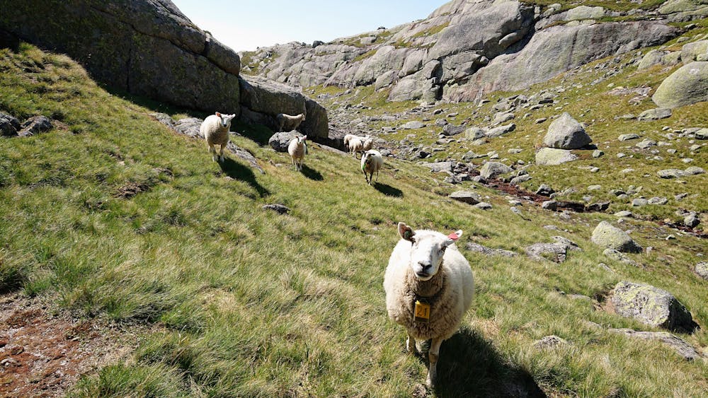
The hike starts from the bottom of the ski resort. The trail is mostly well marked and easy to follow. Beautiful 360 view on the summit. You might encounter sheep along the trail. Hiking boots are recommended.
Difficulty
Moderate
Hiking along trails with some uneven terrain and small hills. Small rocks and roots may be present.
Medium Exposure

The trail contains some obstacles such as outcroppings and rock which could cause injury.
Remoteness
Away from help but easily accessed.
Best time to visit
Features
- Wildlife
- Picturesque
- Summit Hike
- Dog friendly
- Wild flowers
- Water features
- Family friendly