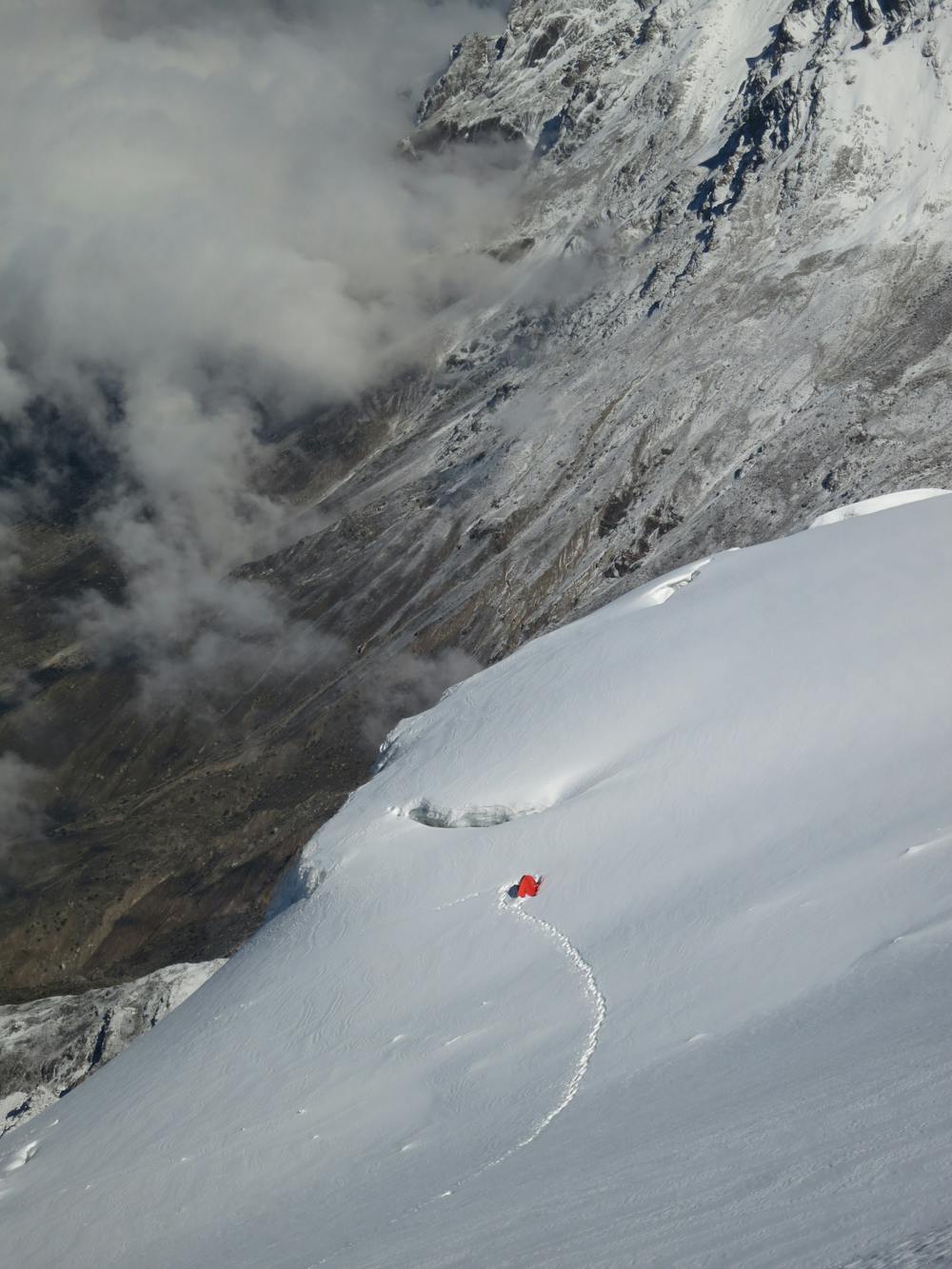
Koser Gunge - Skardu
Koser Gunge - Skardu
Alpine Climbing Moderate
- Distance
- 15 km
- Ascent
- 3.7 km
- Descent
- 326 m
- Low Point
- 2.4 km
- High Point
- 5.8 km
- Gradient
- 32˚

This is a popular alpine climbing route which is generally considered to be moderate. It's remote, it features low exposure and is typically done all year round. From a low point of 2.4 km to the maximum altitude of 5.8 km, the route covers 15 km, 3709 vertical metres of ascent and 326 vertical metres of descent. You'll need ice axe, bivy kit, crampons and glacier kit to complete it safely.
Description
Easy 6000m-peak at the outskirts of Skardu (Sildi). Perfect for acclimatization.
Difficulty
Moderate
May involve slightly more complex glacier hikes, easy but possibly long rock ridges and steep snow up to 45 degrees. Equivalent to PD, PD+
Low Exposure

The route is well protected or easy enough that protection is not required.
Remoteness

Away from help but easily accessed.
Best time to visit
Equipment required
- Ice axe
- Bivy Kit
- Crampons
- Glacier kit