Ishinca
Hochtour - Überschreitung
Alpine Climbing Difficult
- Distance
- 13 km
- Ascent
- 1.1 km
- Descent
- 1.1 km
- Low Point
- 4.4 km
- High Point
- 5.5 km
- Gradient
- 24˚

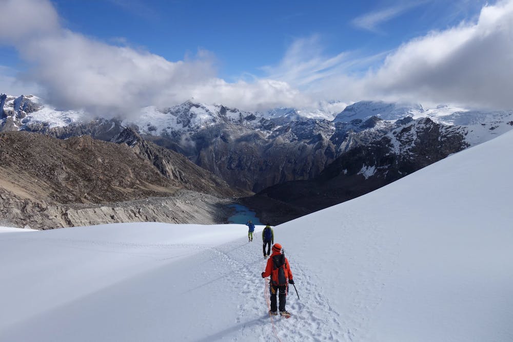
This is a popular alpine climbing route which is generally considered to be difficult. It's extremely remote, it features medium exposure and is typically done between June and August. From a low point of 4.4 km to the maximum altitude of 5.5 km, the route covers 13 km, 1132 vertical metres of ascent and 1133 vertical metres of descent. You'll need ice axe, crampons and glacier kit to complete it safely.
Description
Tourenbericht: https://www.suedtirolalpin.it/post/ishinca
Difficulty
Difficult
The beginning of truly technical terrain which might involve pitched climbing on rock and/or ice, exposed terrain and complex route finding in ascent and descent. Equivalent to AD, AD+
Medium Exposure

The route features some exposed and/or difficult to protect sections.
Remoteness

In the high mountains or remote conditions, all individuals must be completely autonomous in every situation.
Best time to visit
Equipment required
- Ice axe
- Crampons
- Glacier kit