Huayhuash Circuit Via Alpine Route
Arguably one of, if not the best multi-day hiking routes in the world!
Hiking Severe
- Distance
- 99 km
- Ascent
- 5.8 km
- Descent
- 6.8 km
- Duration
- 1 day +
- Low Point
- 3.2 km
- High Point
- 5.1 km
- Gradient
- 18˚

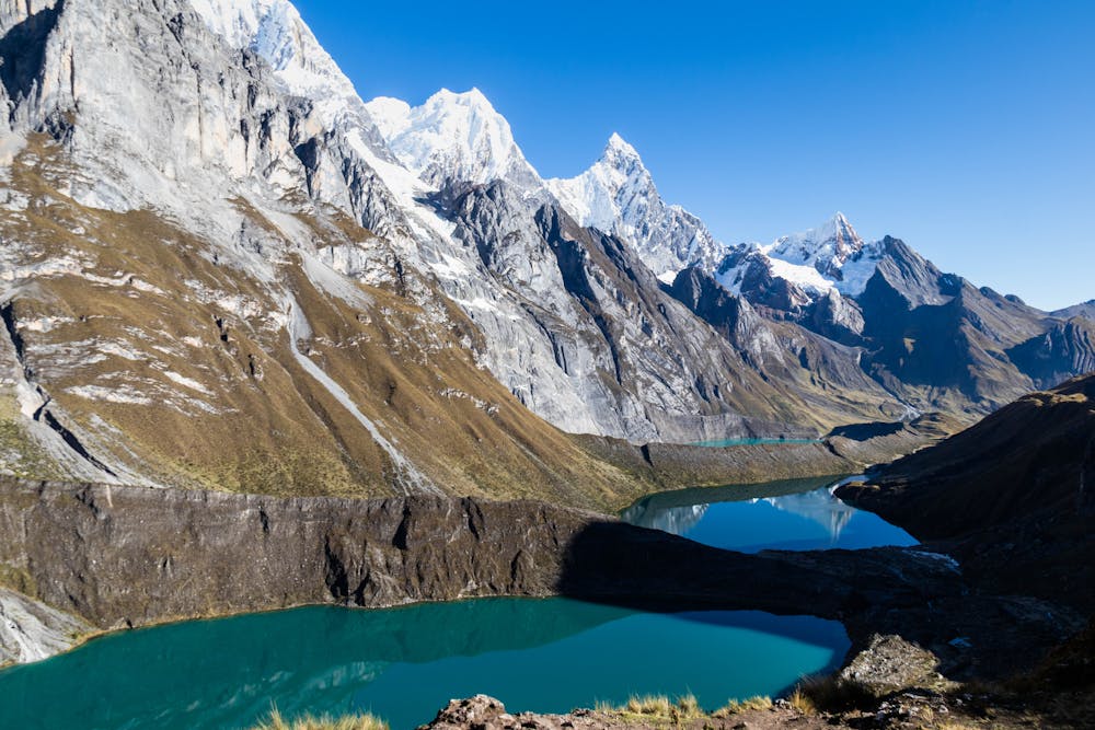
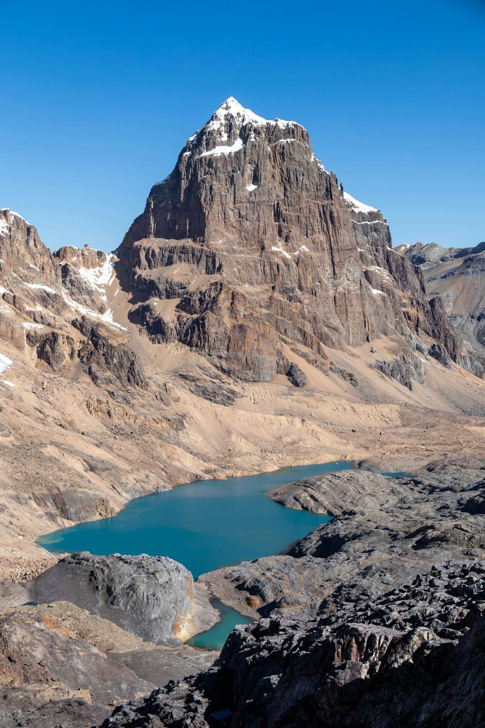
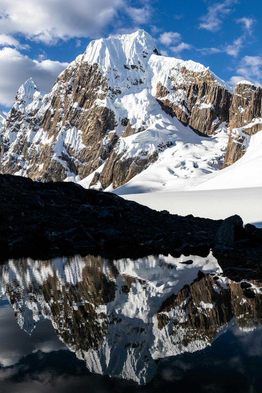
There are many different ways to hike the Huayhuash circuit. Typically this is an 8-10 day trek through the valleys meandering your way through the spectacular Andes mountains.
- •
- •
- •
Description
This route includes a number of alpine circuits that take in the all the best views, but don't require any specialised climbing or mountaineering gear.
This is a magnificent 7-8 day trek, with an abundance of beautiful alpine lakes and stunning mountain peaks. If you are looking to get off the beaten path and fully explore one of the best multi-day hikes in the world, then this is the route for you.
You can either hike this trail independently or with a guided group. Guided groups generally stick to the valley circuit. If you are wanting to hike the alpine circuits on this route, which I highly recommend, you either have to hike independently or hire a private guide.
No technical mountaineering gear is required for this route, however expert route finding skills and some light scrambling is required in a few places. On the descent from Paso del Trapecio, the route takes the alpine circuit over the glacier.
The glacier has retreated significantly over the years, however this is the most technical part of the route. Once you reach the glacier, you either make the short 100-200m crossing (do so at your own risk), or you can scramble around on the rocks to the left.
Due to the remote nature and high elevation of this trail, make sure you are well prepared before attempting this route independently. Most of the route is over 4000m ASL with the two high points topping out at over 5000m.
This route can be done in 7 days, but I'd recommend going slow and completing it in 8 days. The views here are outstanding and you will want to spend many hours taking in the breath-taking scenery.
Difficulty
Severe
Hiking challenging trails where simple scrambling, with the occasional use of the hands, is a distinct possibility. The trails are often filled with all manner of obstacles both small and large, and the hills are very steep. Obstacles and challenges are often unexpected and can be unpredictable.
High Exposure

Some trail sections have exposed ledges or steep ascents/descents where falling could cause serious injury.
Remoteness

In the high mountains or remote conditions, all individuals must be completely autonomous in every situation.
Best time to visit
Features
- Alpine
- Picturesque
- Water features