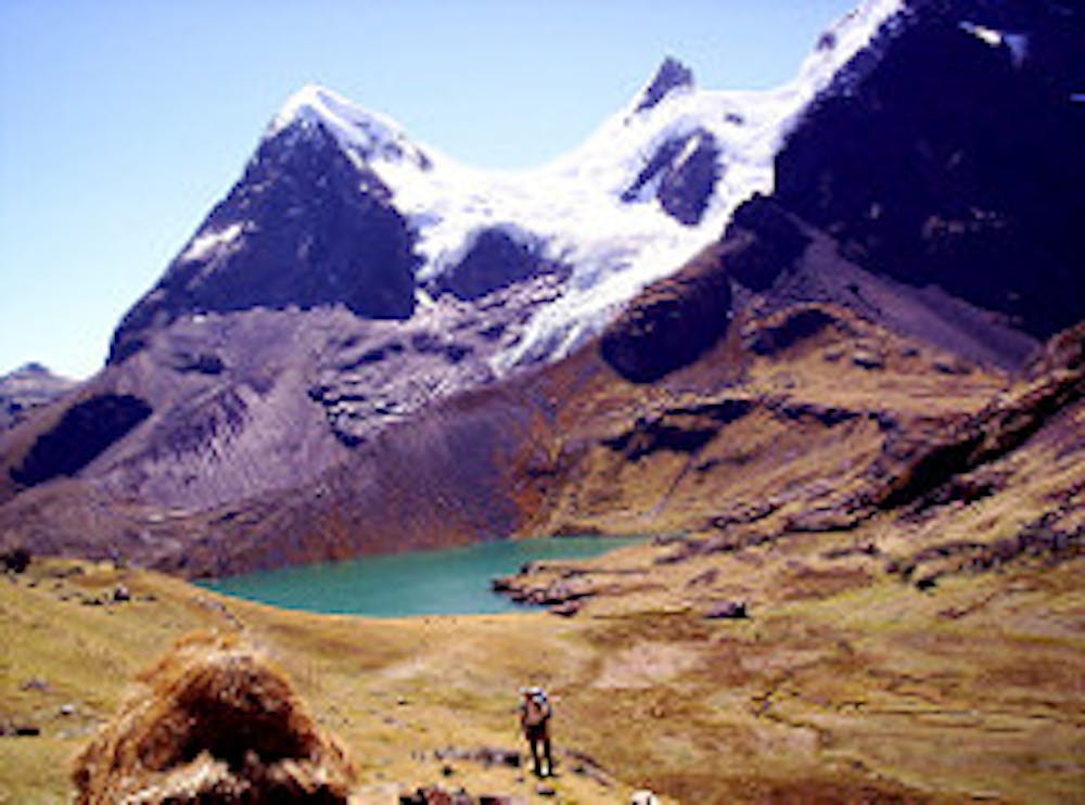
Ausangate - Camping Trek - 5 Days
Circumnavigation of the Ausangate Nevada
Hiking Difficult
- Distance
- 69 km
- Ascent
- 3.5 km
- Descent
- 3.5 km
- Duration
- 1 day +
- Low Point
- 3.8 km
- High Point
- 5.4 km
- Gradient
- 21˚

This is a popular hiking route which is generally considered to be difficult. It's very remote, it features medium exposure and is typically done between March and September. From a low point of 3.8 km to the maximum altitude of 5.4 km, the route covers 69 km, 3511 vertical metres of ascent and 3513 vertical metres of descent.
Description
Ausangate Nevada - 3rd Highest Peak of Peru
Difficulty
Difficult
Hiking trails where obstacles such as rocks or roots are prevalent. Some obstacles can require care to step over or around. At times, the trail can be worn and eroded. The grade of the trail is generally quite steep, and can often lead to strenuous hiking.
Medium Exposure

The trail contains some obstacles such as outcroppings and rock which could cause injury.
Remoteness

Little chance of being seen or helped in case of an accident.
Best time to visit
Features
- Alpine
- Wildlife
- Picturesque