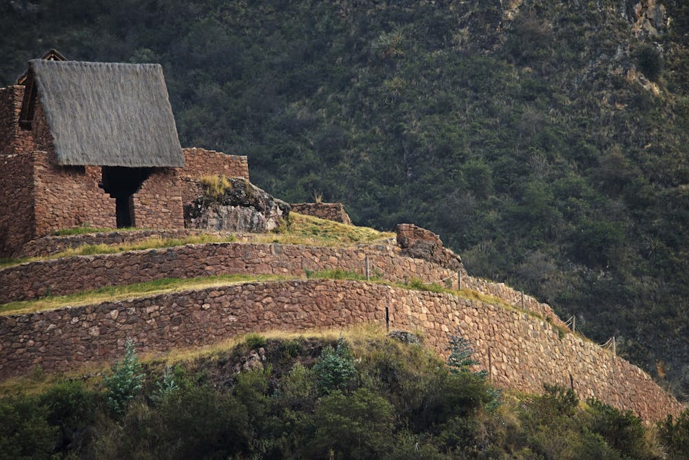
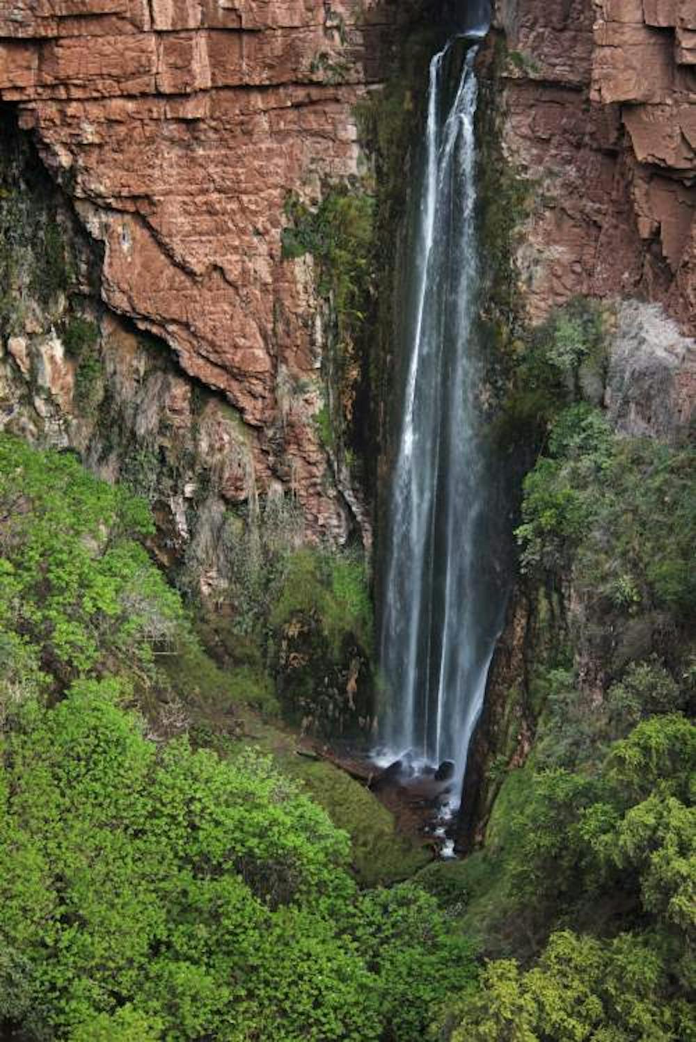
Perolniyoc Waterfall & Raqaypata Archaeological complex
Hike From Soqma to Raqaypata & Perolniyoc Waterfall
Hiking Moderate
- Distance
- 9.3 km
- Ascent
- 756 m
- Descent
- 758 m
- Duration
- 3-4 hrs
- Low Point
- 3.2 km
- High Point
- 3.6 km
- Gradient
- 19˚

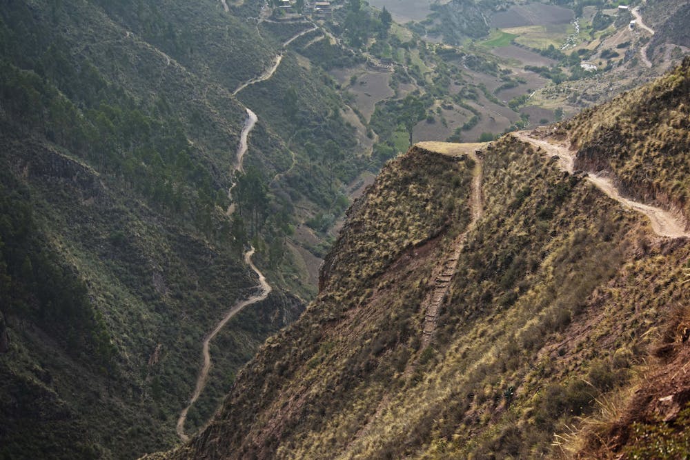
This is a popular hiking route which is generally considered to be moderate. It's remote, it features high exposure and is typically done between April and November. From a low point of 3.2 km to the maximum altitude of 3.6 km, the route covers 9.3 km, 756 vertical metres of ascent and 758 vertical metres of descent.
- •
- •
- •
Description
Beautiful hike to an Inca fortress and an 80 meter water fall by Las Qolqas Eco Resort
Difficulty
Moderate
Hiking along trails with some uneven terrain and small hills. Small rocks and roots may be present.
High Exposure

Some trail sections have exposed ledges or steep ascents/descents where falling could cause serious injury.
Remoteness

Away from help but easily accessed.
Best time to visit
Features
- Historical
- Picturesque
- Summit Hike
- Water features
- Family friendly