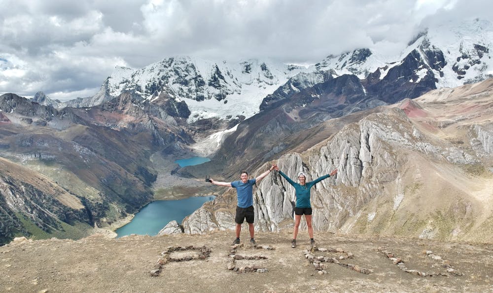
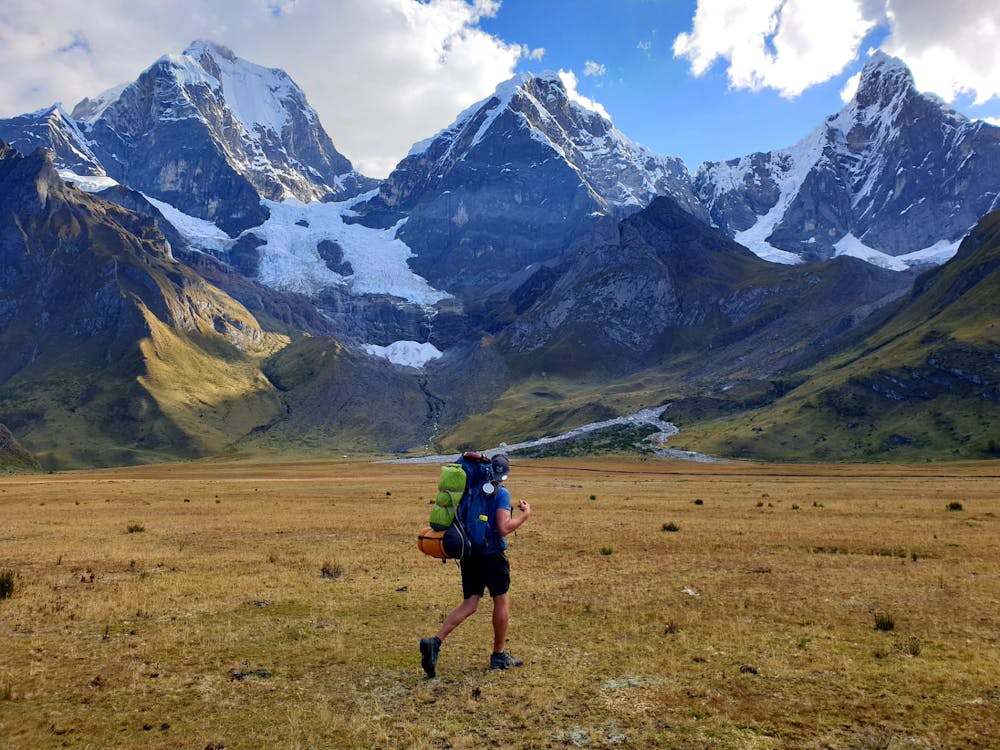
Huyahuash - 6 days Circuit
Tour de la cordillère Huayhuash en counter-clockwise.
Hiking Severe
- Distance
- 89 km
- Ascent
- 5.6 km
- Descent
- 5.6 km
- Duration
- 1 day +
- Low Point
- 3.5 km
- High Point
- 5 km
- Gradient
- 18˚

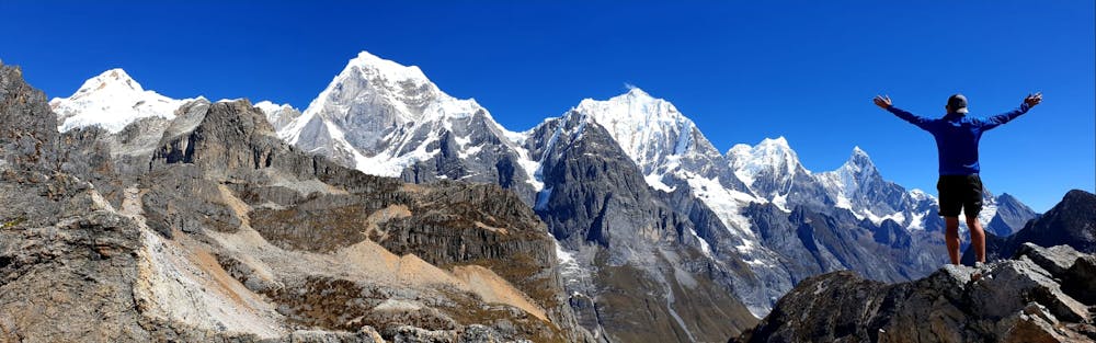
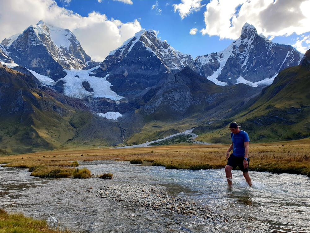
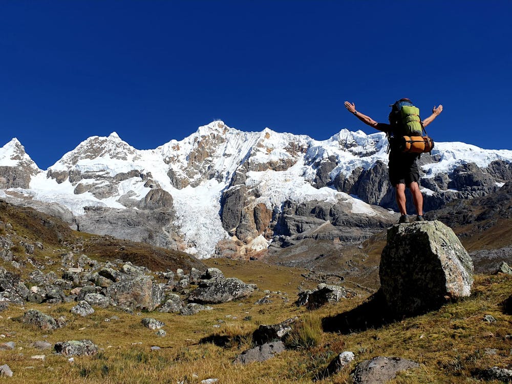
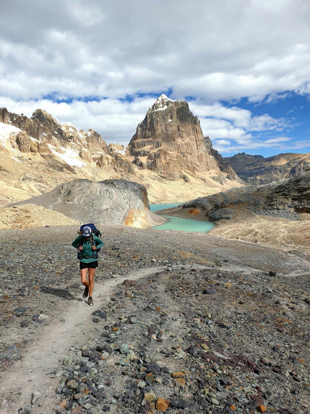
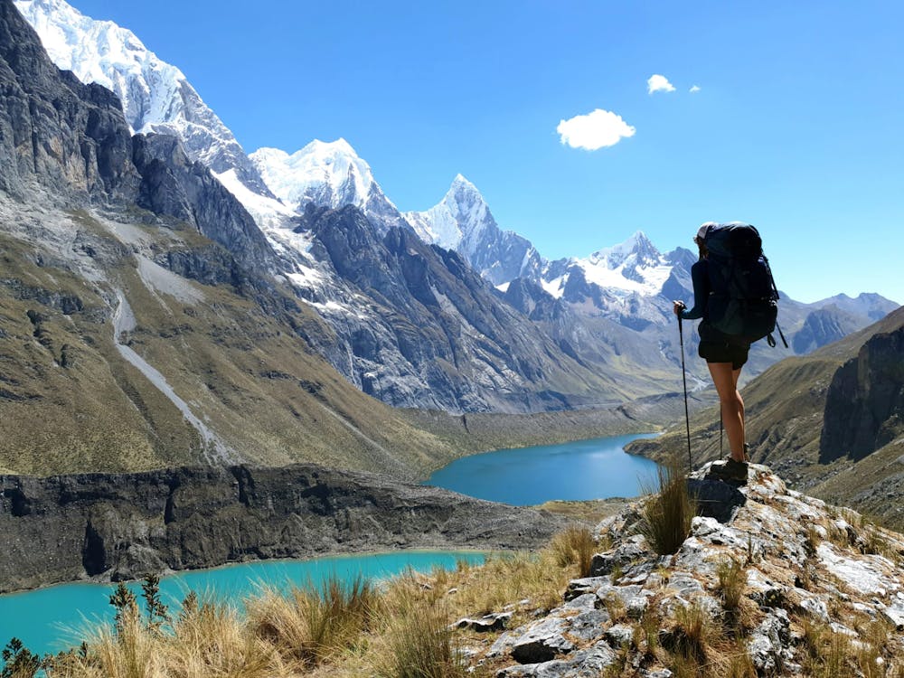
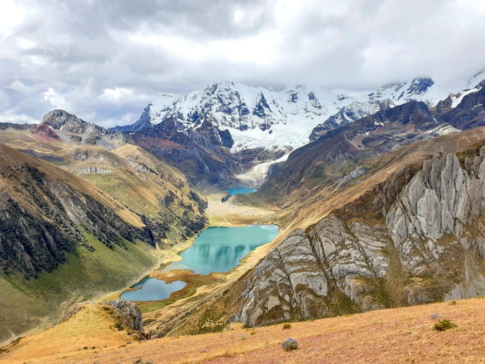
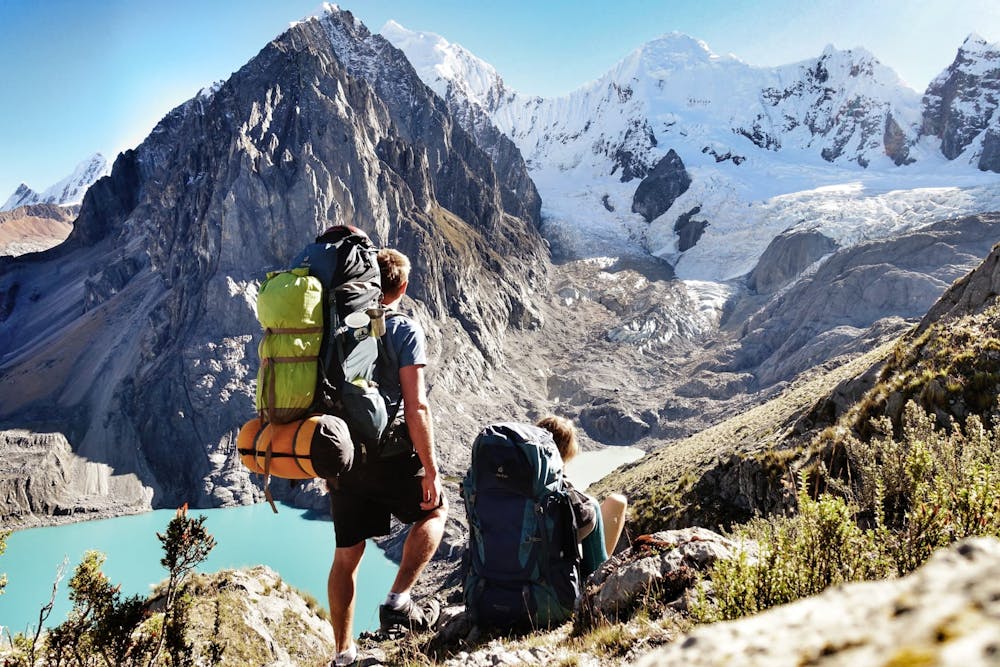
This is a popular hiking route which is generally considered to be severe. It's very remote, it features medium exposure and is typically done between April and September. From a low point of 3.5 km to the maximum altitude of 5 km, the route covers 89 km, 5617 vertical metres of ascent and 5634 vertical metres of descent.
- •
- •
- •
- •
- •
- •
- •
- •
- •
Description
check our blog - https://ancha-et-marty.wixsite.com/ouramazingjourney/blog
Difficulty
Severe
Hiking challenging trails where simple scrambling, with the occasional use of the hands, is a distinct possibility. The trails are often filled with all manner of obstacles both small and large, and the hills are very steep. Obstacles and challenges are often unexpected and can be unpredictable.
Medium Exposure

The trail contains some obstacles such as outcroppings and rock which could cause injury.
Remoteness

Little chance of being seen or helped in case of an accident.
Best time to visit
Features
- Alpine
- Wildlife
- Picturesque
- Water features