Buribid Mountain Range (BMR) - 18K Trail Running Route
Brgy. Tibolo, Sta. Cruz, Davao del Sur
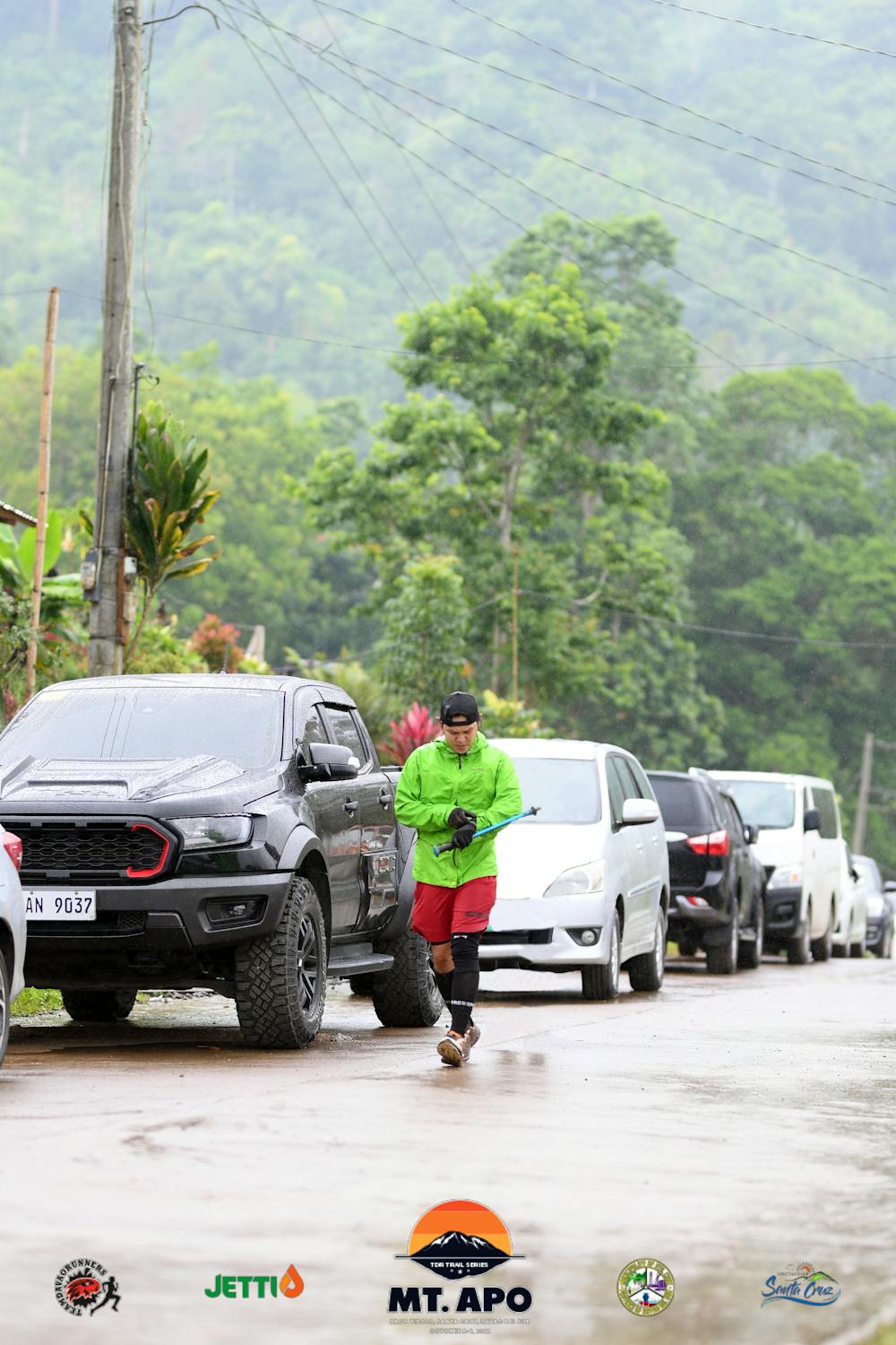
Trail Running Difficult
- Distance
- 20 km
- Ascent
- 1.5 km
- Descent
- 1.5 km
- Duration
- 3-4 hrs
- Low Point
- 350 m
- High Point
- 1.5 km
- Gradient
- 16˚

This is a popular trail running route which is generally considered to be difficult. It's remote, it features medium exposure and is typically done between September and November. From a low point of 350 m to the maximum altitude of 1.5 km, the route covers 20 km, 1532 vertical metres of ascent and 1521 vertical metres of descent.
Description
1,500m Average Elevation
Difficulty
Difficult
Medium Exposure

The trail contains some obstacles such as outcroppings and rock which could cause injury.
Remoteness
Away from help but easily accessed.