Mt. B'lalaan via Brgy. Nabilan Trail
Brgy. Nabilan to Mt. B'lalaan Backtrail
Hiking Moderate
- Distance
- 12 km
- Ascent
- 515 m
- Descent
- 514 m
- Duration
- 3-4 hrs
- Low Point
- 37 m
- High Point
- 441 m
- Gradient
- 14˚

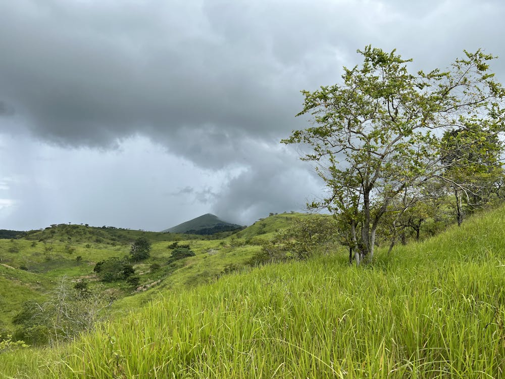
This is a popular hiking route which is generally considered to be moderate. It's remote, it features medium exposure and is typically done in March, April, May, October, November and December. From a low point of 37 m to the maximum altitude of 441 m, the route covers 12 km, 515 vertical metres of ascent and 514 vertical metres of descent.

- •
- •
Description
Brgy. Nabilan to Mt. B'lalaan Backtrail
Difficulty
Moderate
Hiking along trails with some uneven terrain and small hills. Small rocks and roots may be present.
Medium Exposure

The trail contains some obstacles such as outcroppings and rock which could cause injury.
Remoteness
Away from help but easily accessed.
Best time to visit
Features
- Picturesque