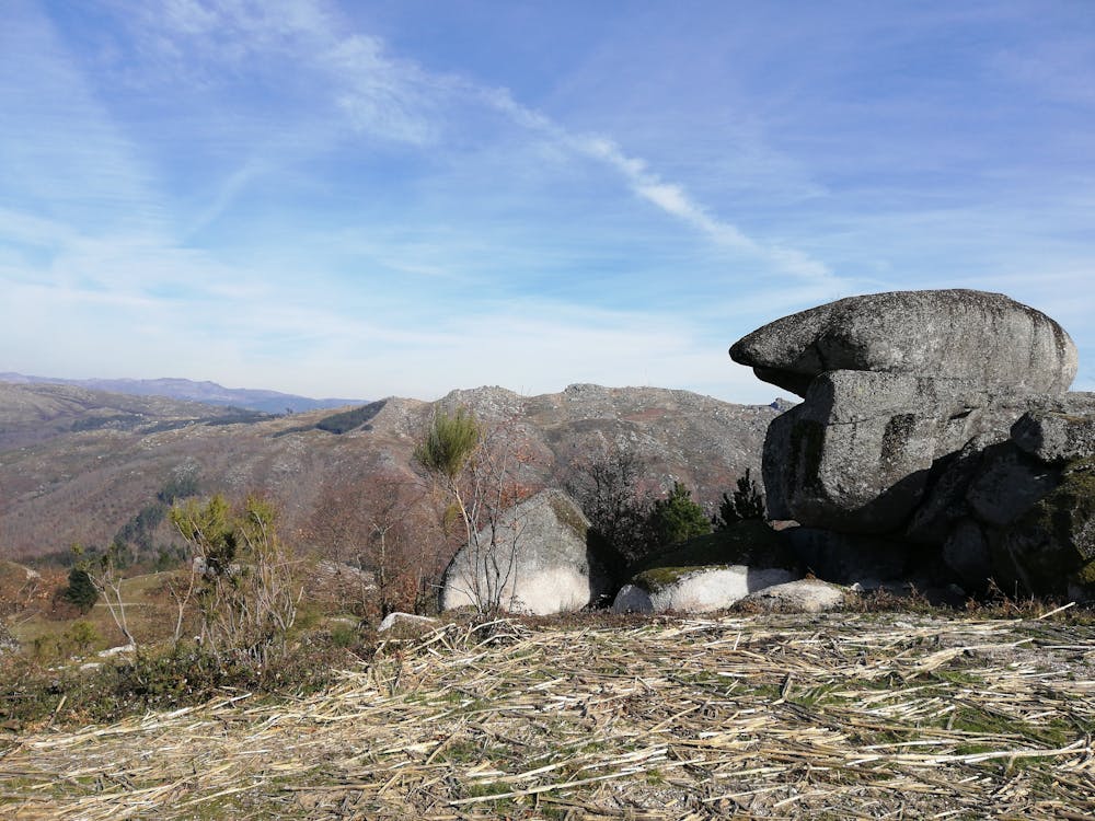
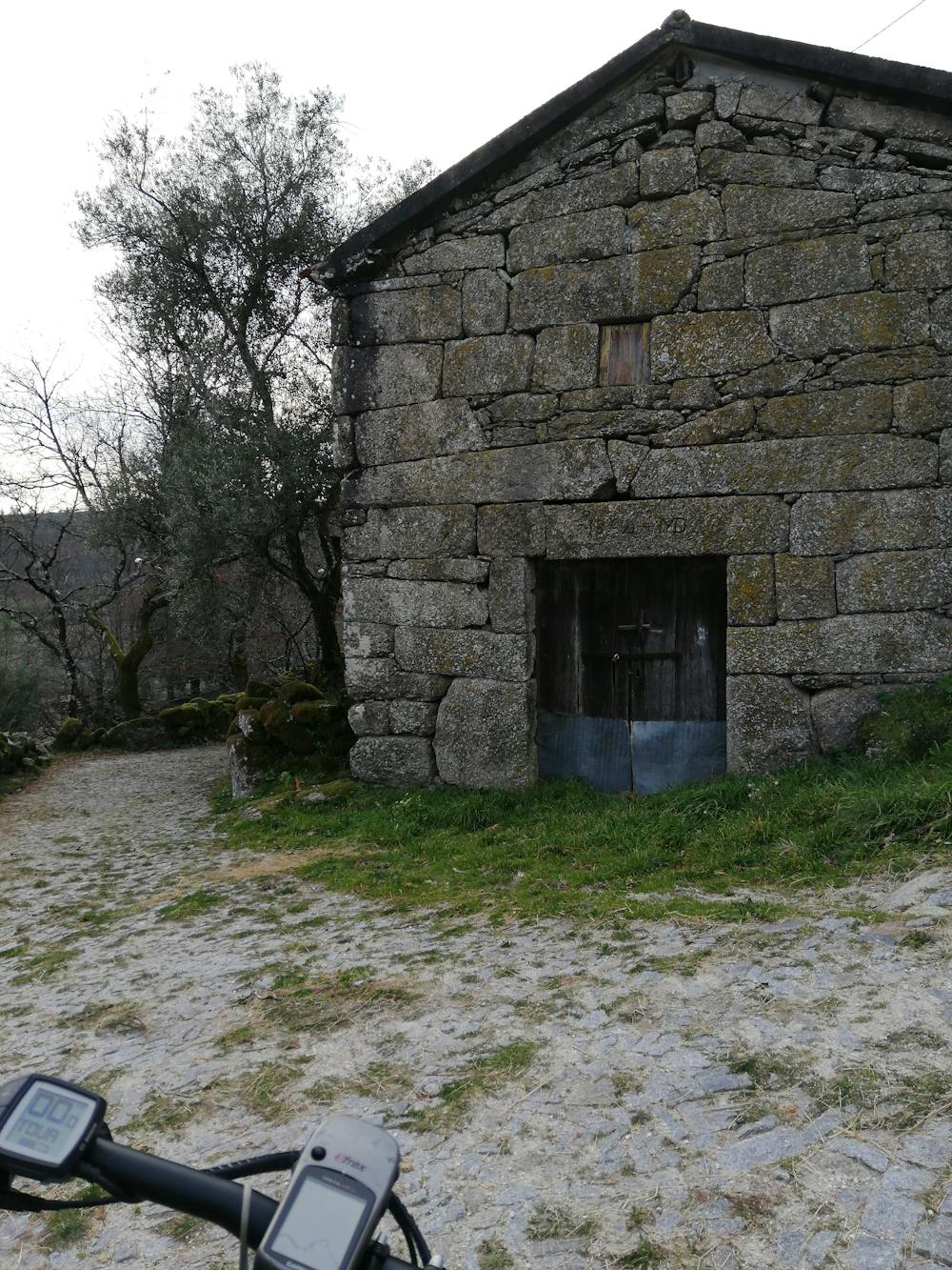
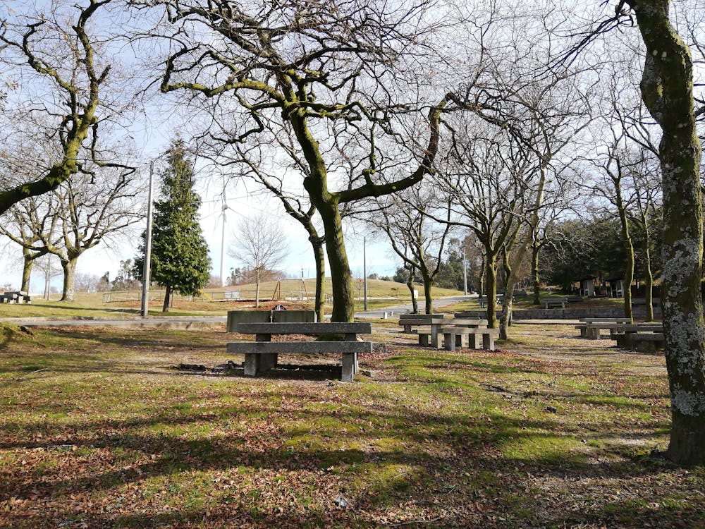
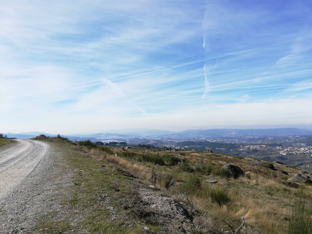
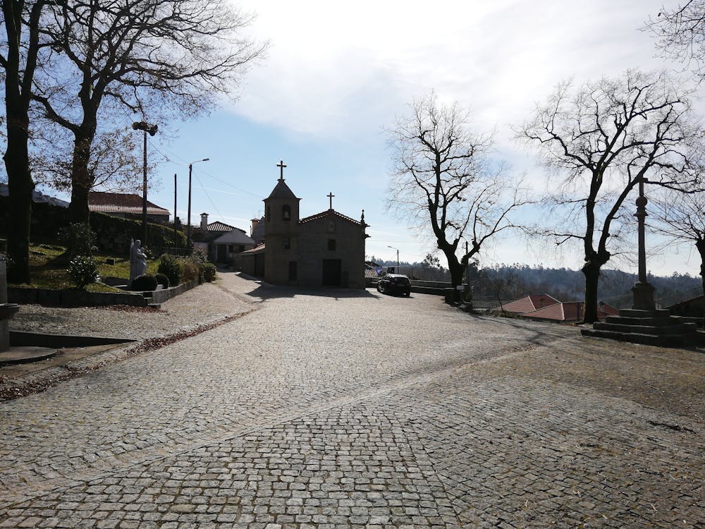
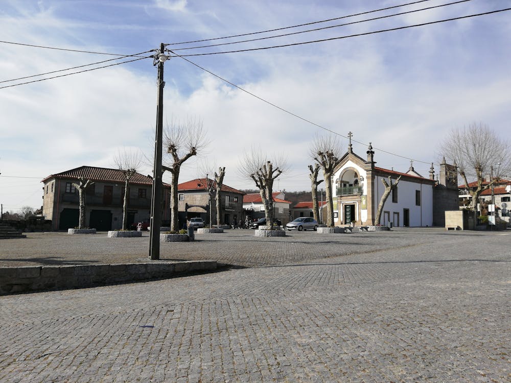
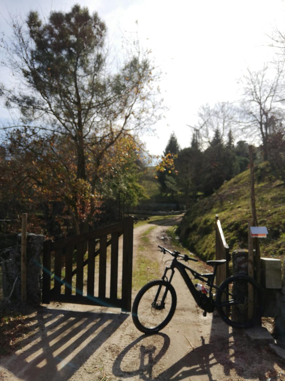
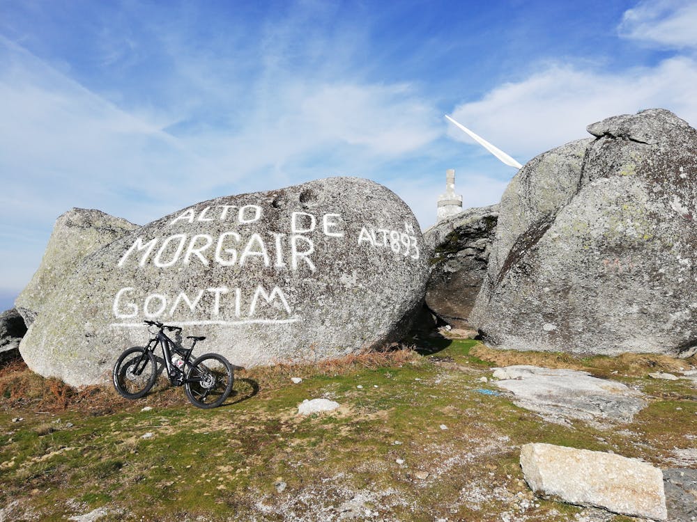
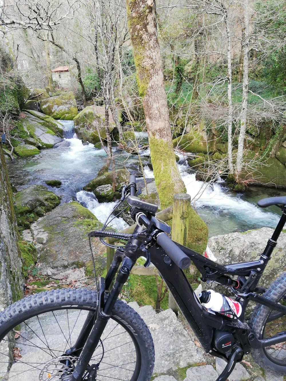
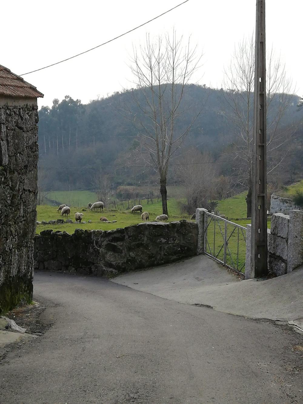
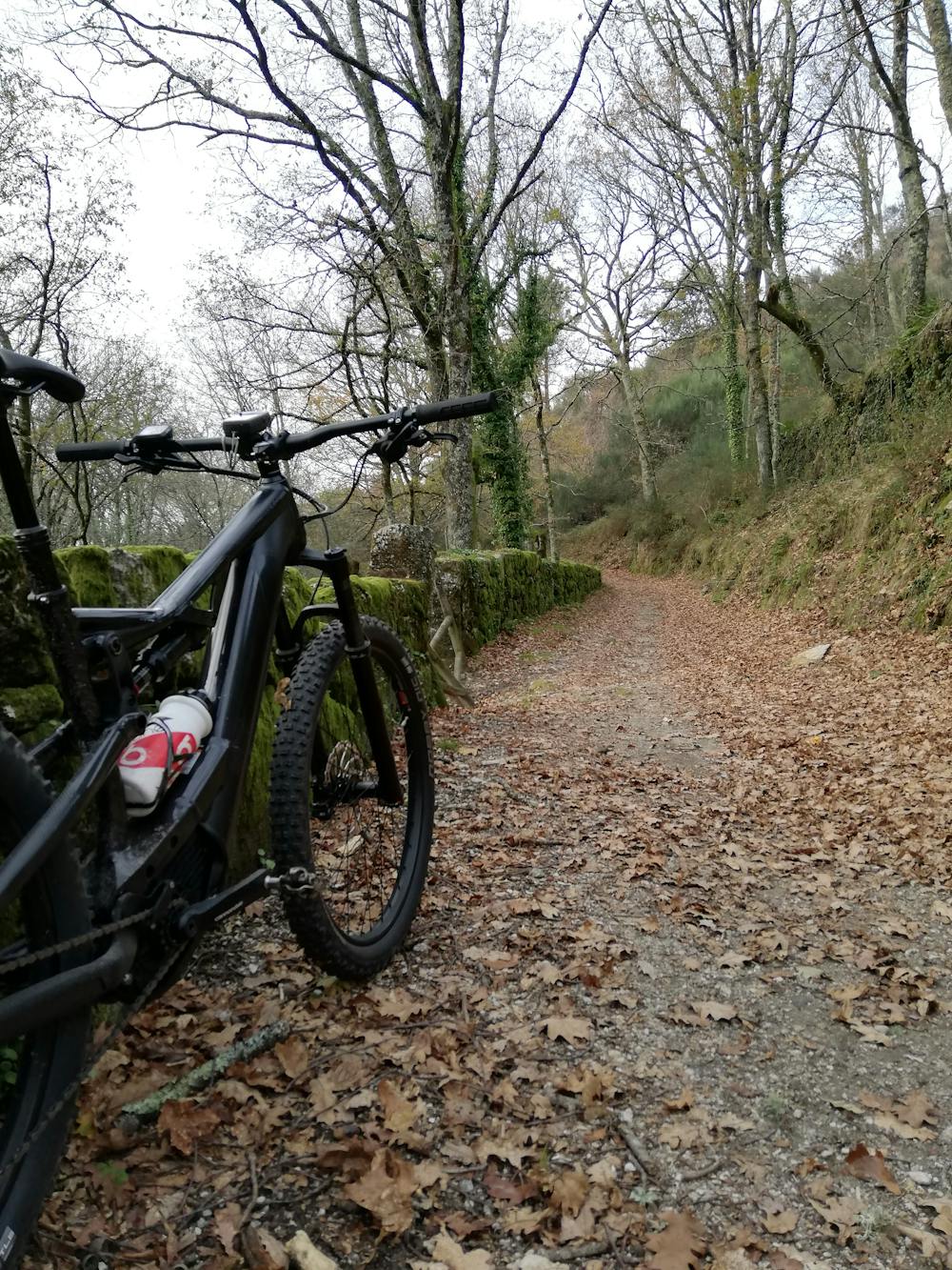
Roteiro BIGDROP MTB Serras de Fafe
Toda a beleza das Serras de Fafe para conheceres na tua Bicicleta de Montanha. Ideal para fazer de E-Bike...
Mountain Biking Difficult
- Distance
- 48 km
- Ascent
- 1.5 km
- Descent
- 1.4 km
- Duration
- 4-5 hrs
- Low Point
- 294 m
- High Point
- 883 m
- Gradient
- 13˚

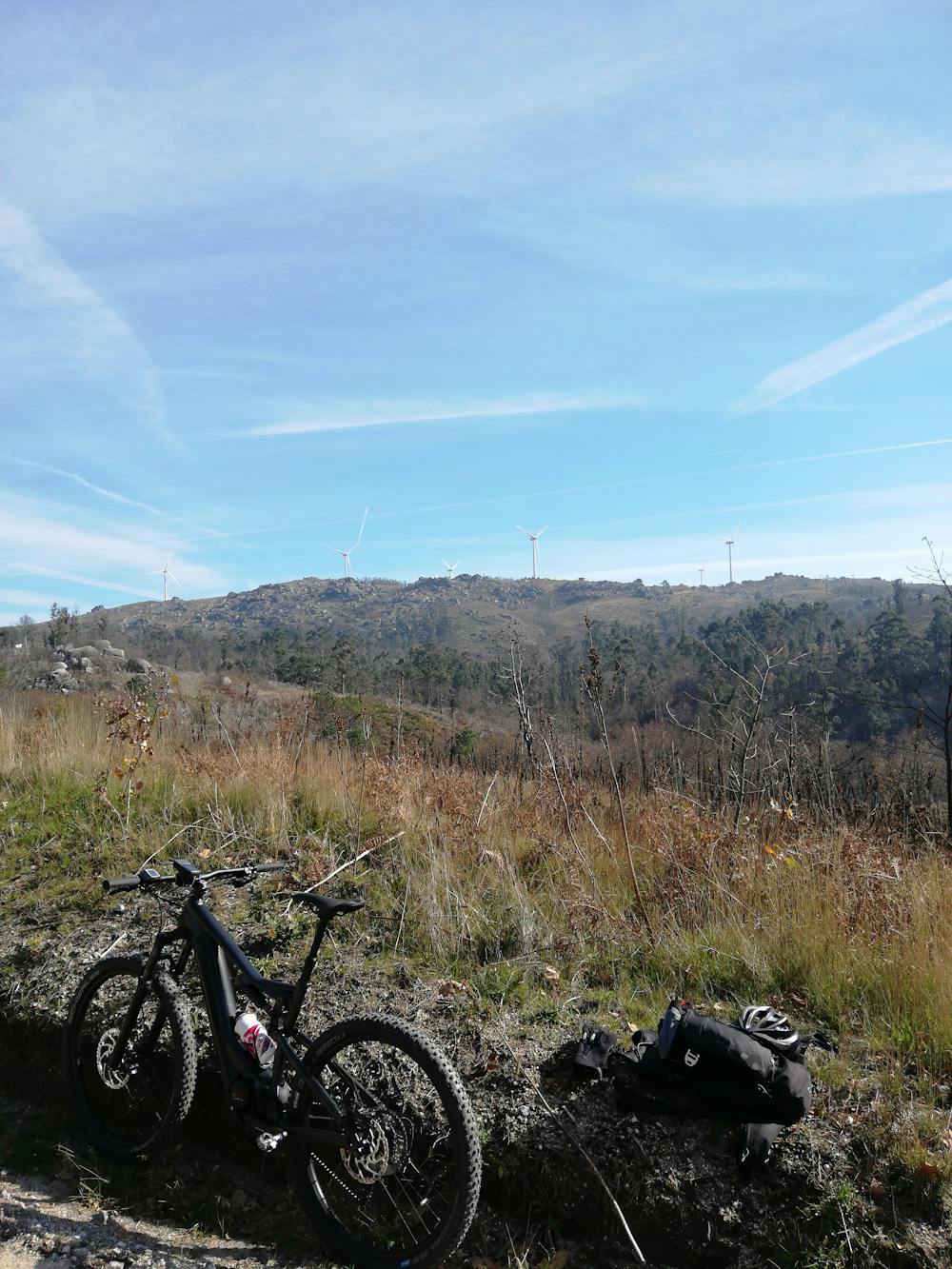
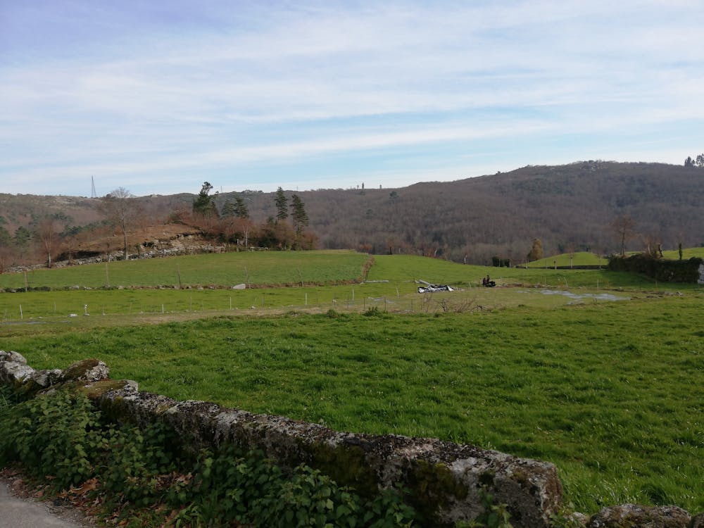
This is a popular mountain biking route which is generally considered to be difficult. It's remote, it features medium exposure and is typically done between March and October. From a low point of 294 m to the maximum altitude of 883 m, the route covers 48 km, 1515 vertical metres of ascent and 1423 vertical metres of descent.
- •
- •
- •
- •
- •
- •
- •
- •
- •
- •
- •
- •
- •
- •
- •
- •
- •
- •
- •
- •
- •
Description
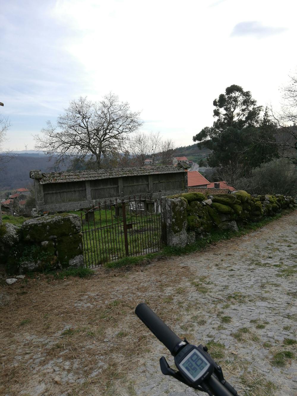
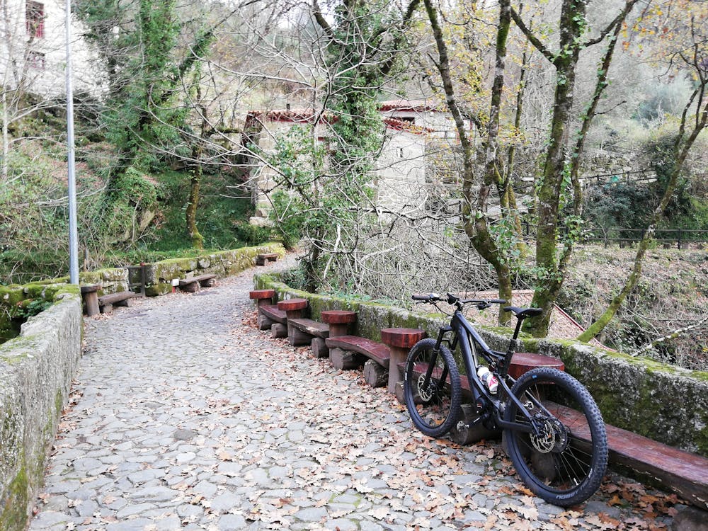
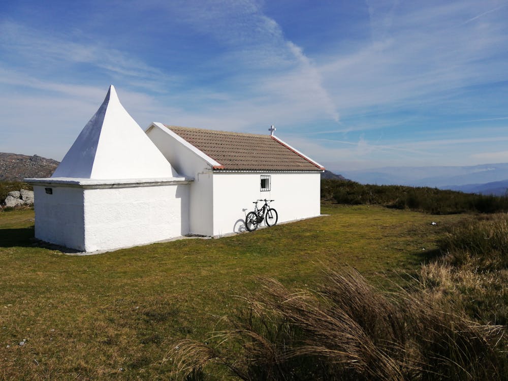
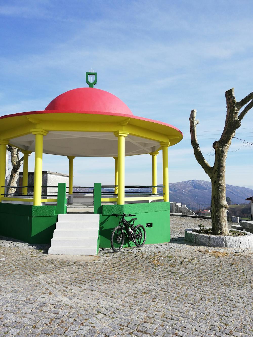
Um Roteiro de BTT com passagem nas principais atracções das Serras de Fafe
Difficulty
Difficult
Mostly stable trail tread with some variability featuring larger and more unavoidable obstacles that may include, but not be limited to: bigger stones, roots, steps, and narrow curves. Compared to lower intermediate, technical difficulty is more advanced and grades of slopes are steeper. Ideal for upper intermediate riders.
Medium Exposure

The trail contains some obstacles such as outcroppings and rock which could cause injury.
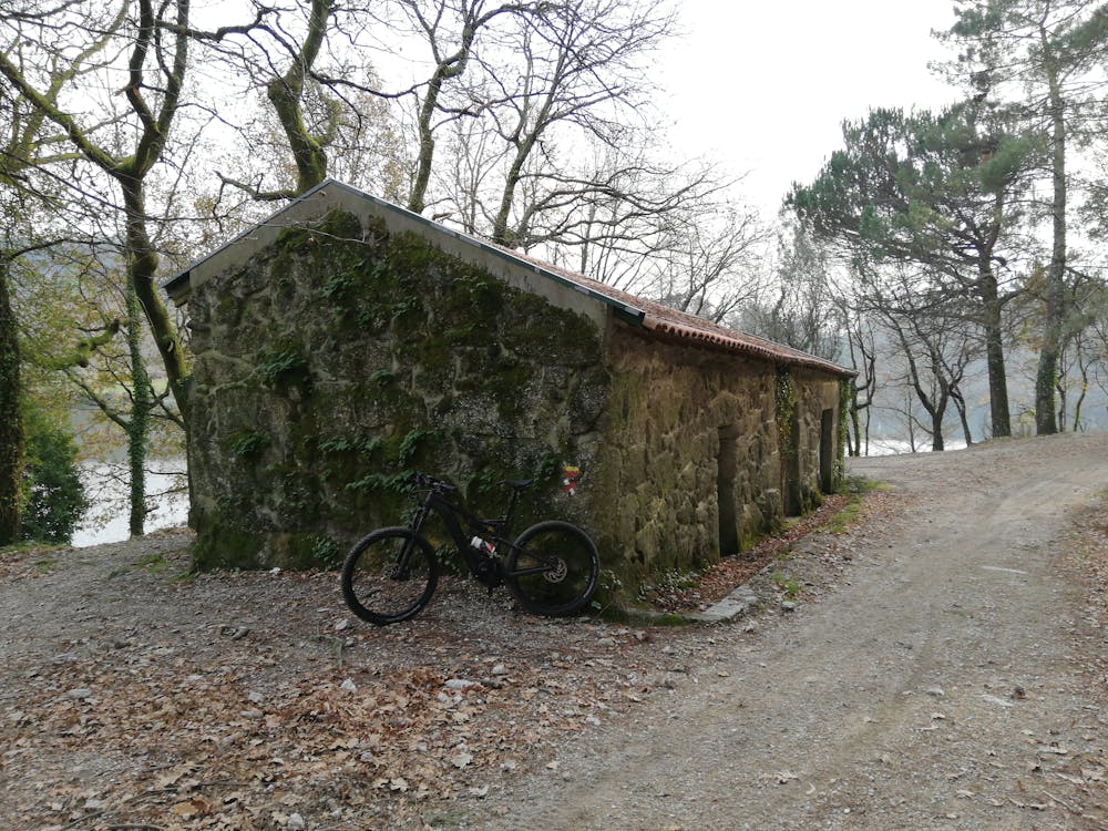
Remoteness
Away from help but easily accessed.
Best time to visit
Features
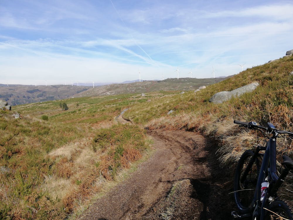
- Flow
- Singletrack
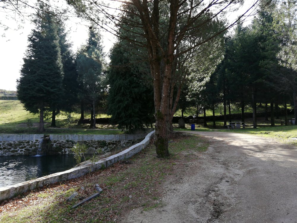
- In the forest
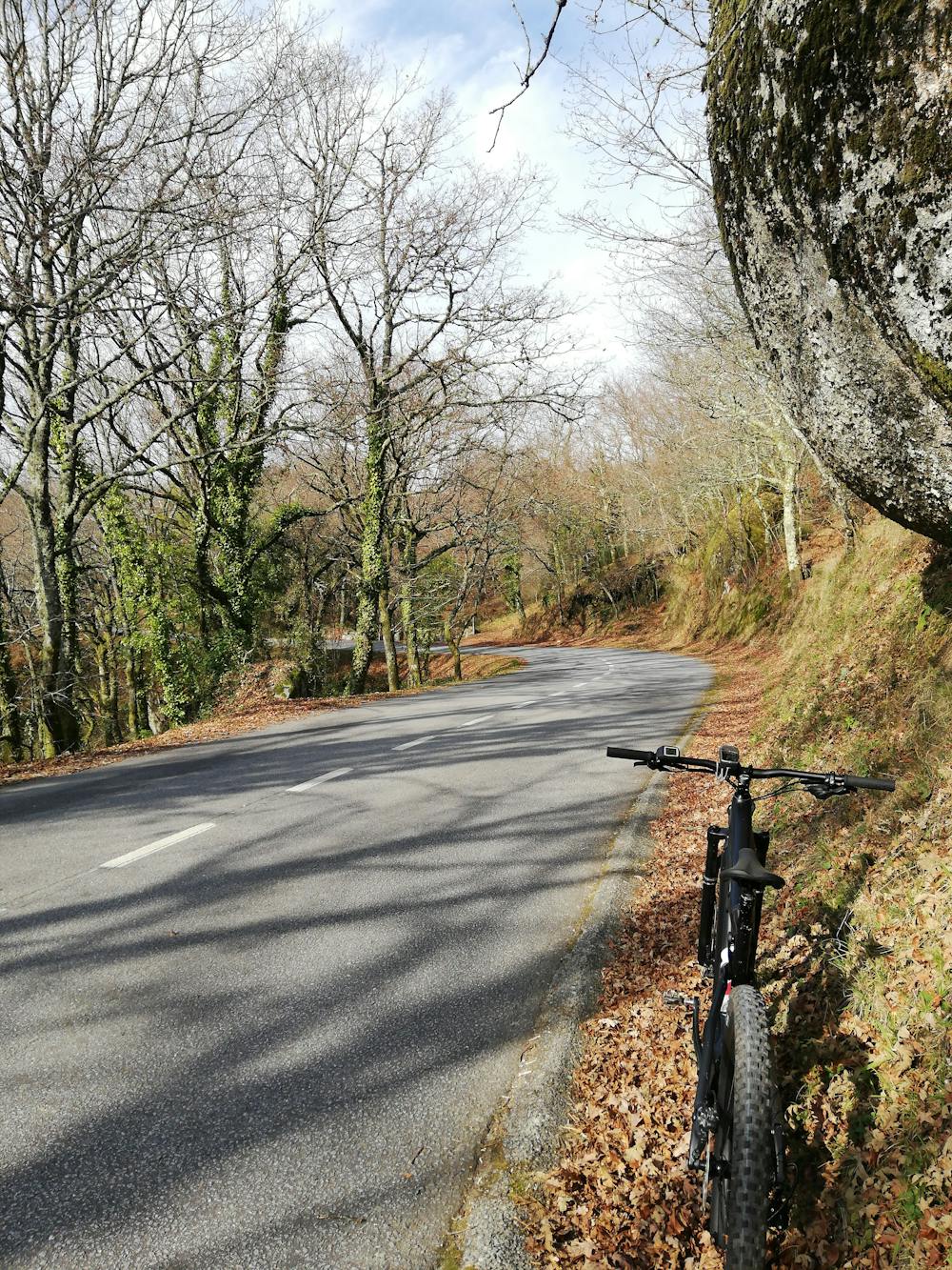
- Road sections